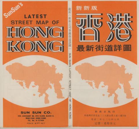
This folded paper street map shows eight areas of Hong Kong island. I've scanned them and added them to Gwulo's online maps as a single layer: 1980 HK
Here's a video introduction to the new map (if you don't see the video below, please click here to watch it on Youtube):
It was originally published in 1980 as "Sun Sun's latest street map of Hong Kong":
Thank you David. This is a…
Thank you David. This is a valuable addition and fills the gap between 1960 and today.