Current condition
Ruin
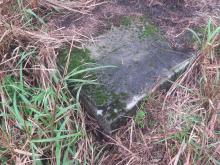
Locate is approximate but you should be able to see artificial shapes in Google Earth. I marked it (C) because it was the third pit that I visited. I did not go into this one, but it is not blocked by bushes. It is wide in the open, with some concrete in the middle.
Tags:
Photos that show this Place
2016