New on Gwulo: 2025, week 26
What's new and updated on the Gwulo website:
General
-
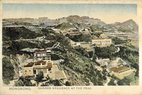
Nicholas Kitto has uploaded a collection of postcards his great-grandfather mailed from Hong Kong and Canton in 1908. There's a sample below, and you can see the full collection here.
- The Baginton Fields Hostel on the outskirts of Coventry was the initial home of several Hong Kong internees who were repatriated to the UK in 1945 but didn't have a place to stay. I've added the few mentions we have of the hostel to that page, but if you can add any memories of what it was like, please leave a comment there.
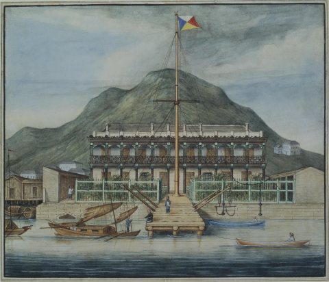
- The new land of the East Point reclamation [c.1865- ] was home to several different industries, identified by their large chimney stacks. No traces of those old chimneys remain, as East Point is now part of the busy Causeway Bay shopping and entertainment district.
-
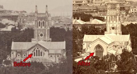
If you're trying to work out when a photo was taken, it helps to have a collection of landmarks in mind. The extension of St John's Cathedral during 1869-72 is a good example. If we can see the east end of the cathedral, we can check the appearance of the large window to tell if the photo was taken before or after the extension was completed:
-
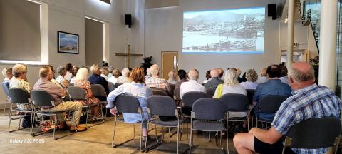
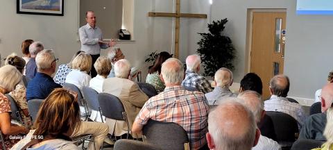
Thank you to everyone who attended the recent talk I gave in Cheltenham. Thanks also to Martin for organising the event, to Alastair for his support, and to Nat at The Chapel for his help on the day. (If you need a venue in Cheltenham, The Chapel is well worth a look.)
- Readers ask:
- Can anyone help find a British Army school operating on HK Island, 1901-1904?
-
Does anyone have any ideas about these photographs. Uniform, car and location? Not sure if the date might be 1930s?
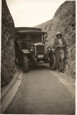
hk2 army single uniformed gentleman b, by 2ik7ns-AW_ 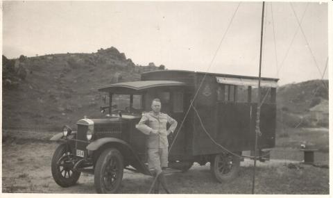
Communications?, by 2ik7ns-AW_
- Can anyone help find a British Army school operating on HK Island, 1901-1904?
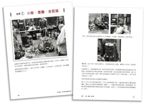
The Chinese version of Gwulo's book
I received this photo earlier in the week, showing that printing is underway.
The book will be launched at the Hong Kong Book Fair (16-22 July 2025), under the title:
老照港古
香江華洋舊事相中尋
Places
- Read more about New on Gwulo: 2025, week 26
- Log in or register to post comments