Skip to main content
Menu
Menu
Home
Free newsletter
Shop
Explore
Add new...
What's new
FAQs
About
Gwulo menu for header
Show — Gwulo menu for header
Hide — Gwulo menu for header
Home
What's new
Gwulo
Old Hong Kong
Photos tagged:
map
Primary tabs
View
Books
Events
Organisations
Pages
People
Photos
Places (map)
Places (list)
Streets (map)
Timelines
Items per page
25
100
- All -
Year
Title
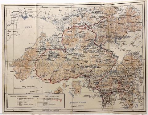
1925
New Territories 1925
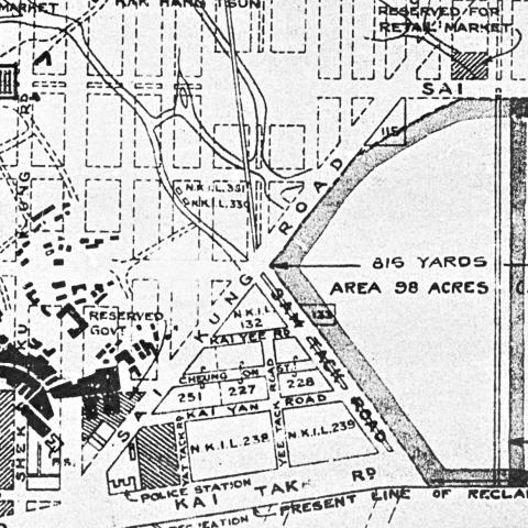
1928
1928 Kai Tak airfield
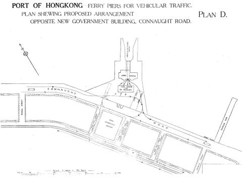
1928
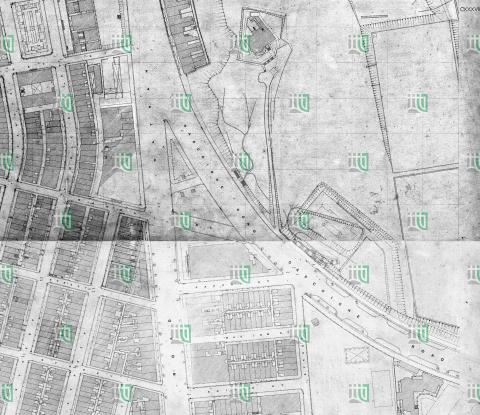
Vehicular Ferry Pier Central: Plan 1928
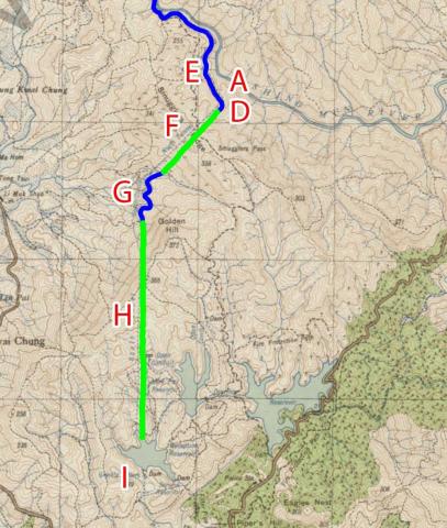
1928
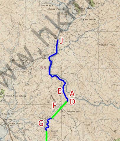
1928 map of the Shing Mun / Golden Hill area
1928
1928 map of the Shing Mun Valley
c.1928
Map of the junction of Nathan and Jordan Roads [1927-1930?]
c.1928
Junction of Nathan and Gascoigne Roads map [1927-1930?]
1920s
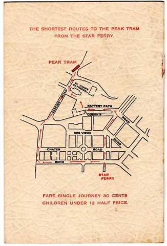
"Star Ferry to Peak Tram" Map
1920s
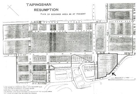
Map of area around Po Hing Fong
1920s
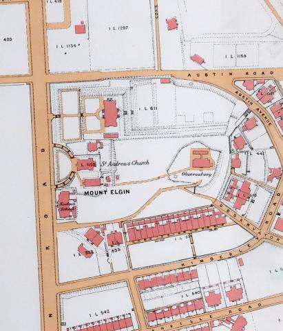
1920 map of Kowloon showing area around the Observatory
1920s
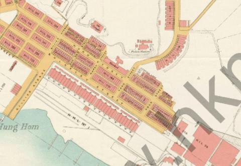
Hung Hom Dockyard Quarters.jpg
1920s
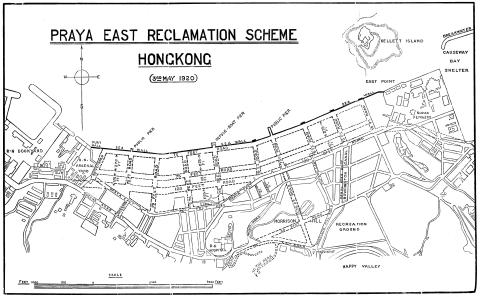
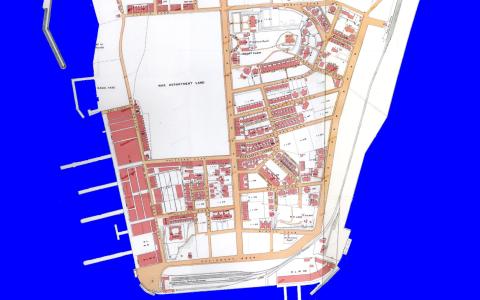
Praya-East-Reclamation-1920s.jpg
1920s
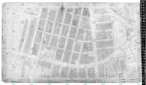
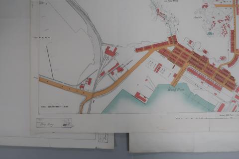
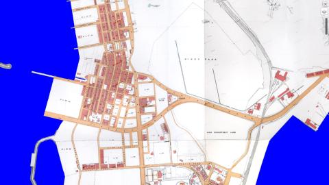
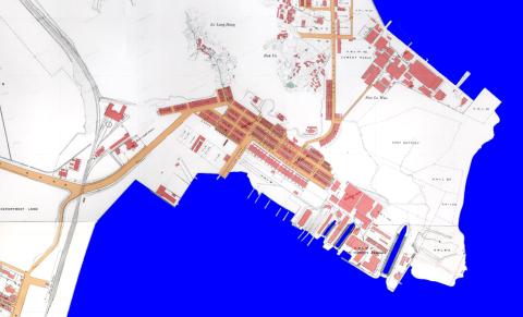
1920 Kln - Sheet 4 - Bottom-left
1920s
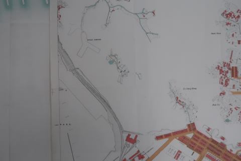
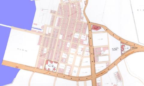
1920 Kln - Sheet 4 - Middle-left
1920s
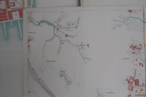
1920 Kln - Sheet 4 - Top-left
1920s
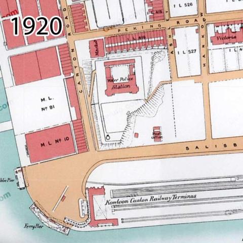
Map of TST in 1920
1920s
Map of Yau Ma Tei in 1920
1920s
Yau Ma Tei landmarks
1920s
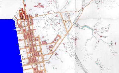
Map of Ho Mun Tin in 1920
1920s
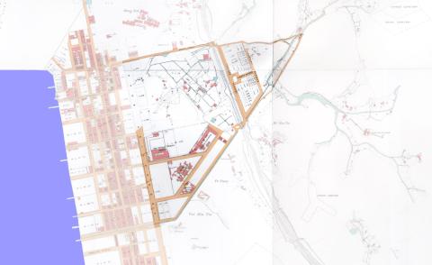
Ho Mun Tin highlights
1920s
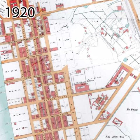
Map of Hung Hom in 1920
1920s
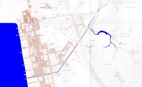
Ho Mun Tin watercourses in 1920
1920s
1920 Mongkok
1920s
1920 TST
1920s
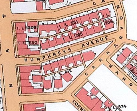
1920 Humphreys Avenue
Pagination
First page
« First
Previous page
‹‹
…
Page
8
Page
9
Page
10
Page
11
Page
12
…
Next page
››
Last page
Last »