Skip to main content
Menu
Menu
Home
Free newsletter
Shop
Explore
Add new...
What's new
FAQs
About
Gwulo menu for header
Show — Gwulo menu for header
Hide — Gwulo menu for header
Home
What's new
Gwulo
Old Hong Kong
Photos tagged:
map
Primary tabs
View
Books
Events
Organisations
Pages
People
Photos
Places (map)
Places (list)
Streets (map)
Timelines
Items per page
25
100
- All -
Year
Title
1920s
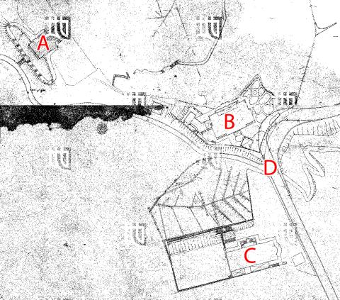
1920s / 30s top of Broadwood Road
1930
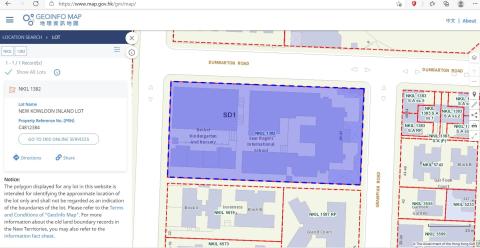
N.K.I.L. 1382
1931
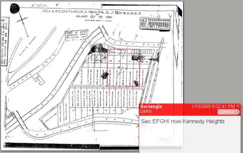
IL 1381 - Kennedy Rd - MacDonnell Rd - Peak Tram
1931
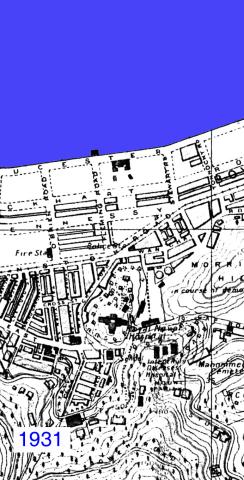
Wanchai 1931
1932
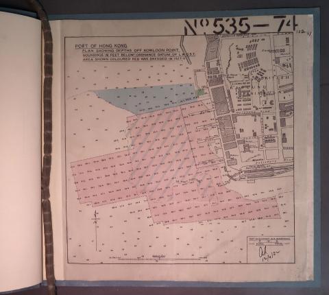
Depths off Kowloon Point
1933
Government Hill redevelopment - proposed 1933
1933
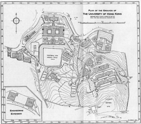
HKU Map 1934
1935
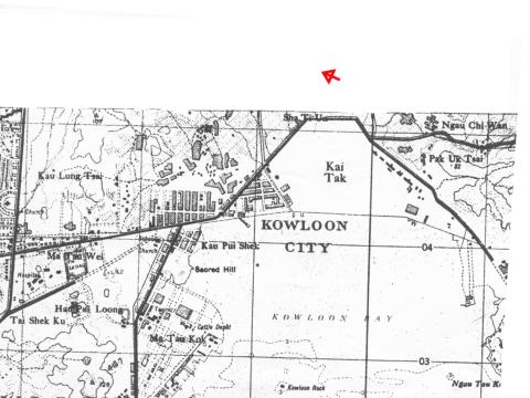
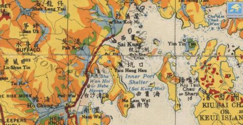
Kai Tak airport area
1935
1935 map of shiu fai terrace and Catholic Cemetery
1936
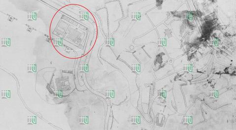
1930s Sai Kung Police Station
1937
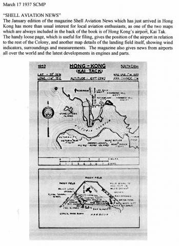
KAI TACK airport location diagram-1937
1937
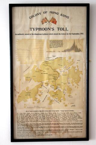
1937 Typhoon's Toll Document
1937
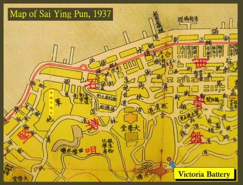
Victoria Battery
1937
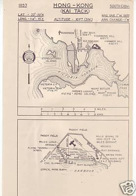
Kai Tak Map
1938
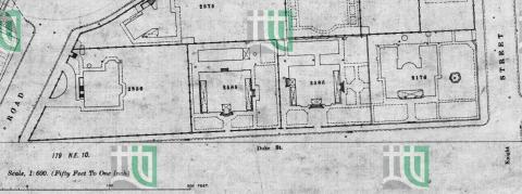
1938 map of Duke Street
1938
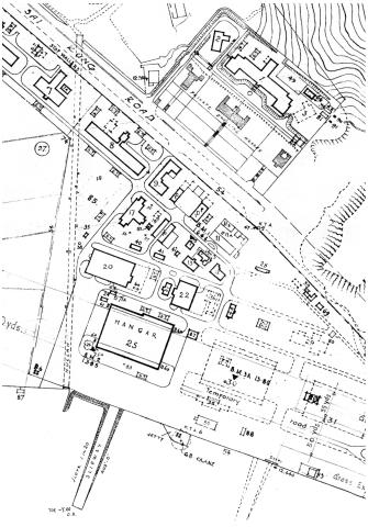
RAF Hangar location in 1938
1938
1938 HK & Whampoa Dockyad KCR Extension.jpg
1938
Map used by Osler Thomas, BAAG
1938
LTR escape route map 1: SSP Camp to Three Fathoms Cove
1938
LTR escape route map 2: To Yeung to Waichow
1939
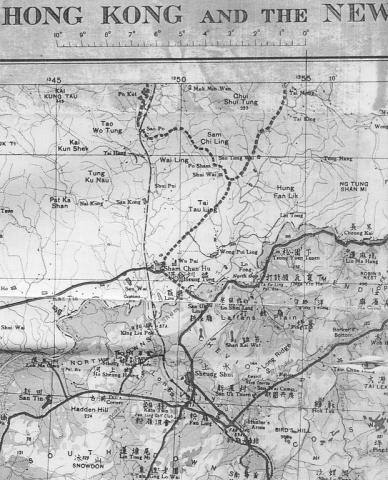
Map-North West New Territories-1939
1939
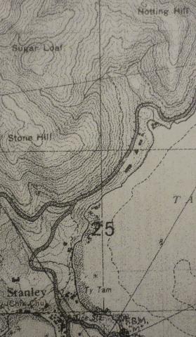
1939 OS Map of Stanley Main Beach
1939
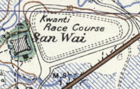
Map of San Wai
1930s
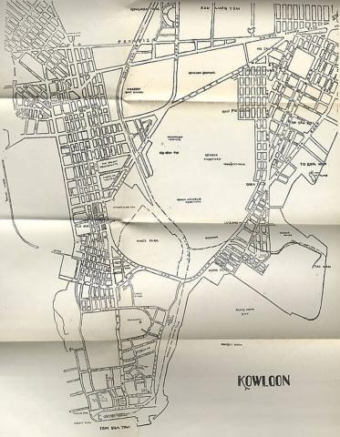
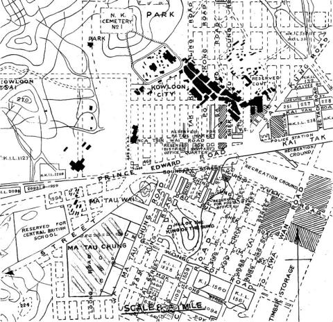
1930s Kowloon City Street Map
1930s
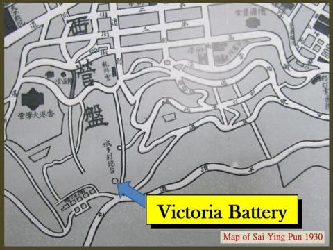
Victoria Battery
Pagination
First page
« First
Previous page
‹‹
…
Page
9
Page
10
Page
11
Page
12
Page
13
…
Next page
››
Last page
Last »