Skip to main content
Menu
Menu
Home
Free newsletter
Shop
Explore
Add new...
What's new
FAQs
About
Gwulo menu for header
Show — Gwulo menu for header
Hide — Gwulo menu for header
Home
What's new
Gwulo
Old Hong Kong
Photos tagged:
map
Primary tabs
View
Books
Events
Organisations
Pages
People
Photos
Places (map)
Places (list)
Streets (map)
Timelines
Items per page
25
100
- All -
Year
Title
1924
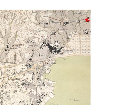
Kai Tak airport area
1924
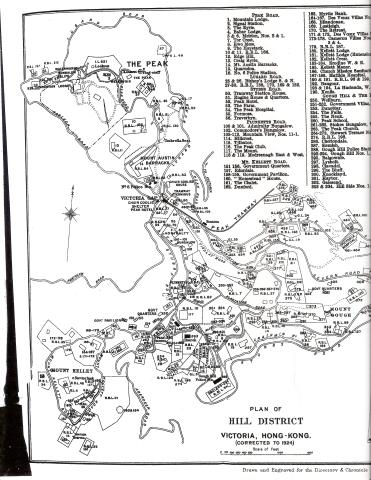
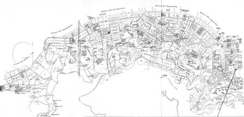
The Peak - Map 1924 (1 of 2)
1924
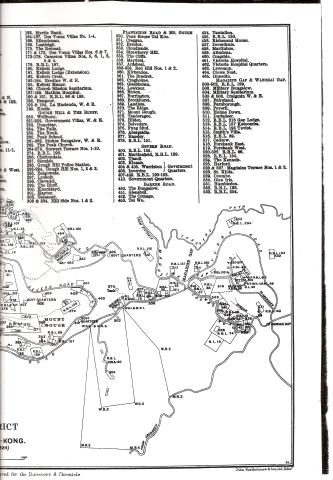
The Peak - Map 1924 (2 of 2)
1924
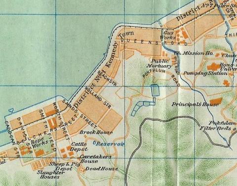
1920s Kennedy Town Map
1924
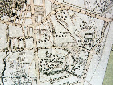
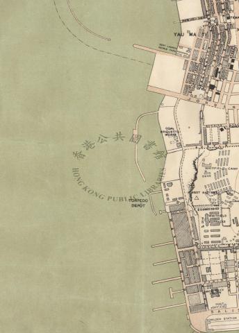
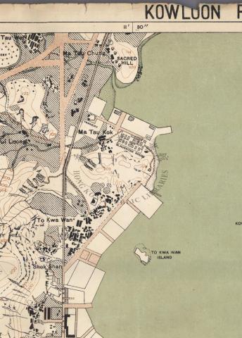
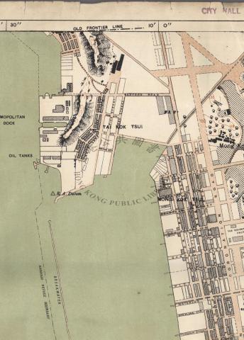
1924 Map of Kowloon
1924
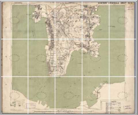
Kowloon Map - 1924
1924
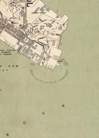
1924 Kowloon map - Quadrant 14
1924
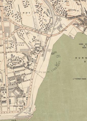
1924 Kowloon map - Quadrant 8
1924
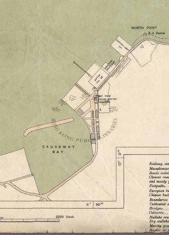
1924 Kowloon map - Quadrant 9
1924
1924 Kowloon map - Quadrant 7
1924
1924 Kowloon map - Quadrant 4
1924
1924 Kowloon map - Quadrant 2
1924
1924 Kowloon map - Quadrant 4
1924
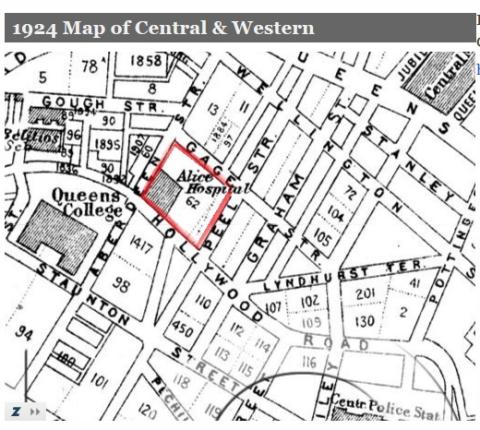
1924 Map of Central & Western
1924
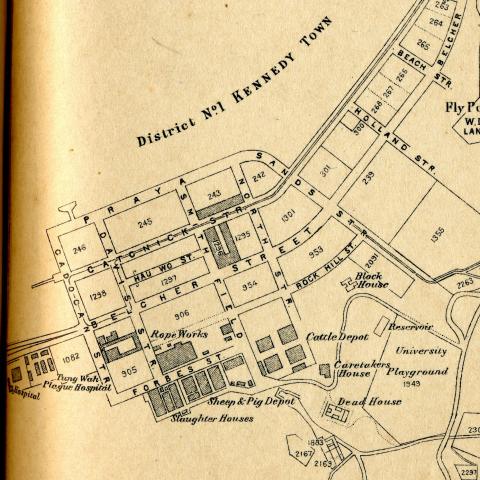
1924 Map of Kennedy Town
1924
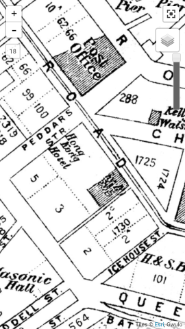
IL 62
1924
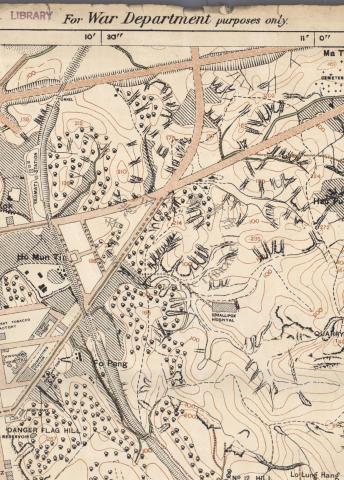
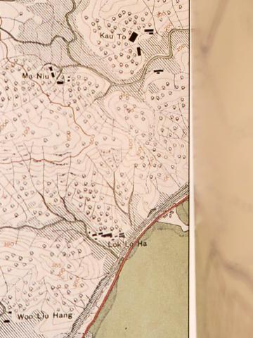
1924 map of Lok Lo Ha
1924
ML.2,3(&4),5,7. 2A,2B,2C
1924
Water Tank 1924 Map.jpg
1924
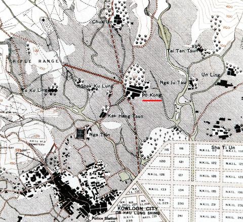
1924 Po Kong village and surroundings
1924
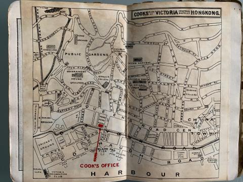
1924 Thomas Cook 01.JPG
1924
1924 Praya map with 5 urinals
1925
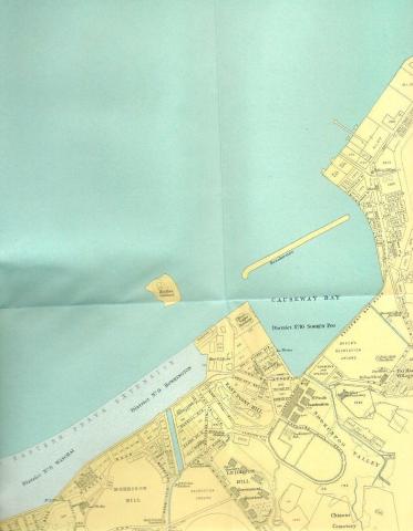
1920s East Point Map
1925
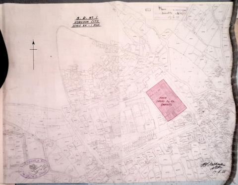
Kowloon City proposed hospital
1925
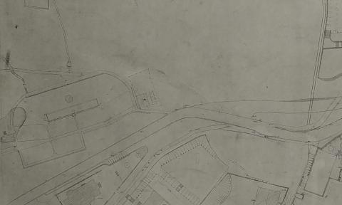
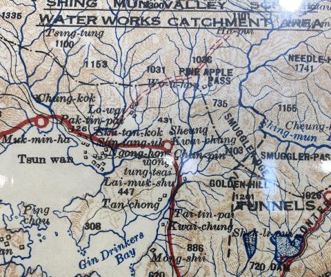
Tunnels Kowloon 1925
Pagination
First page
« First
Previous page
‹‹
…
Page
7
Page
8
Page
9
Page
10
Page
11
…
Next page
››
Last page
Last »