Skip to main content
Menu
Menu
Home
Free newsletter
Shop
Explore
Add new...
What's new
FAQs
About
Gwulo menu for header
Show — Gwulo menu for header
Hide — Gwulo menu for header
Home
What's new
Gwulo
Old Hong Kong
Photos tagged:
map
Primary tabs
View
Books
Events
Organisations
Pages
People
Photos
Places (map)
Places (list)
Streets (map)
Timelines
Items per page
25
100
- All -
Year
Title
1967
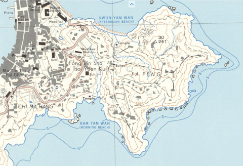
1967 map with contours, zoom in on Fa Peng area
1968
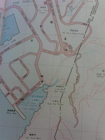
Map showing Southern end of Anderson Road, circa late 1960s
1969
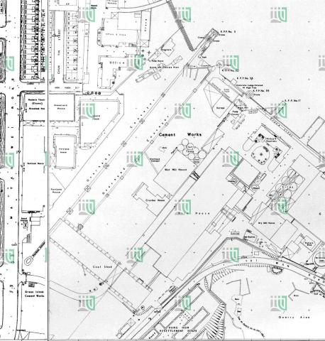
1969 map of Green Island Cement Company
1960s
1960s Cinemas in Kowloon
1960s
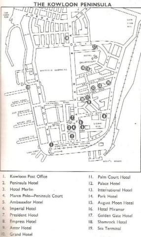
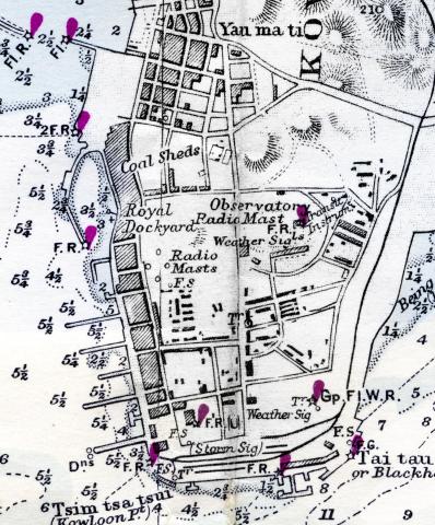
1960s TST Hotel Map
1960s
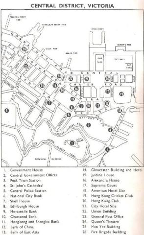
1960s Central District Map
1960s
A.R.P. SCHOOL AND HEADQUARTERS
1960s
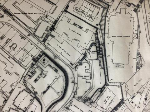
StJoseph'sComplexMap.jpg
1960s
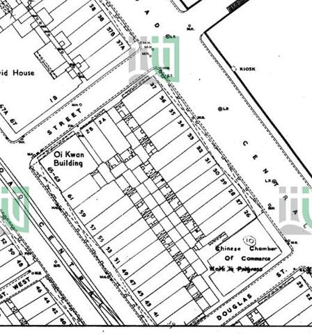
1960 map of block bounded by DVRC / Potttinger St / Connaught Rd / Douglas St.jpg
1960s
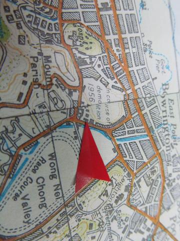
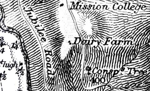
Conspicuous tree
1960s
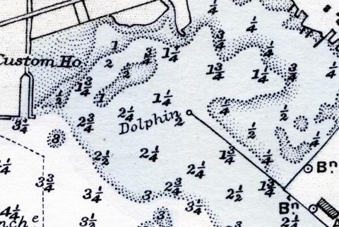
Dolphin
1960s
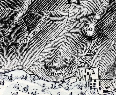
High chimney
1960s
Hydrographic Office
1960s
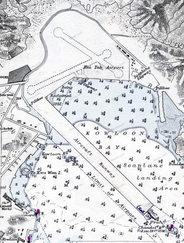
Kai Tak
1960s
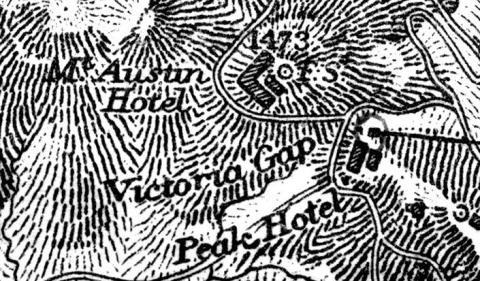
Mount Austin Hotel
1960s
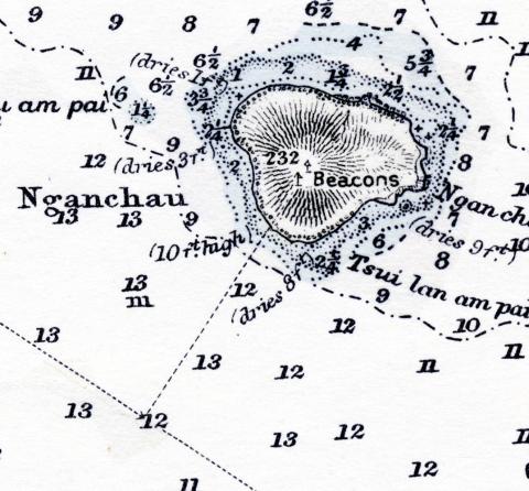
Nganchau
1960s
TST lights
1960s
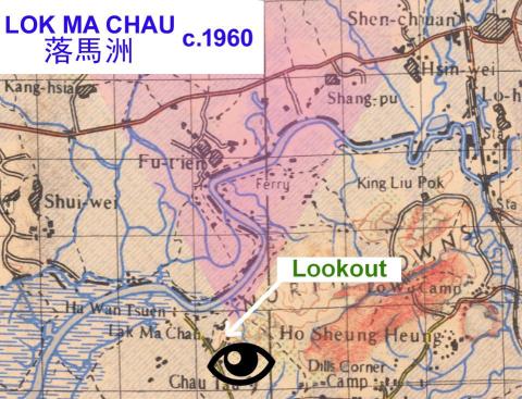
Lok Ma Chau - Map of border region c.1960
1960s
1960 tai wan shan map.jpg
1970
Hong Kong O\S 1970
1970
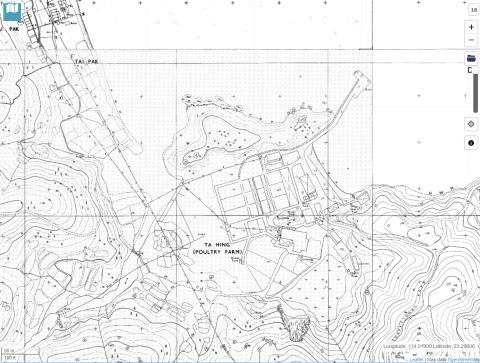
1970 Ta Hing poultry farm, Lantau
1970
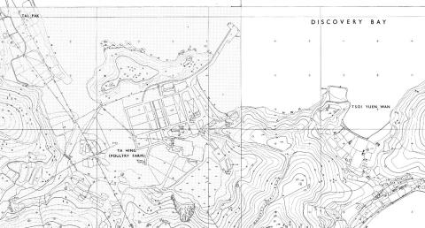
discovery bay ta hing poultry farm 1970
1970
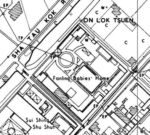
Fanling Babies Home map (1970)
1970
1a broadwood road 1 1
1974
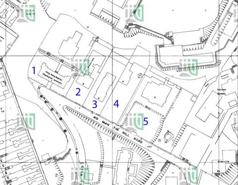
1974 1:600 Ho Man Tin Hill Road 179-SE-2-(Ed-1974-01)
Pagination
First page
« First
Previous page
‹‹
…
Page
16
Page
17
Page
18
Page
19
Page
20
…
Next page
››
Last page
Last »