Skip to main content
Menu
Menu
Home
Free newsletter
Shop
Explore
Add new...
What's new
FAQs
About
Gwulo menu for header
Show — Gwulo menu for header
Hide — Gwulo menu for header
Home
What's new
Gwulo
Old Hong Kong
Photos by author: hkms2.0
Year
Title
1922
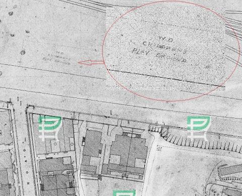
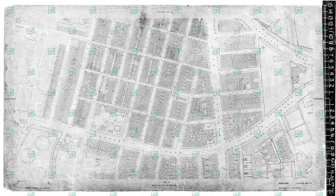
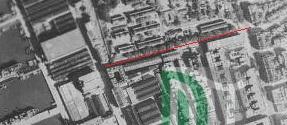
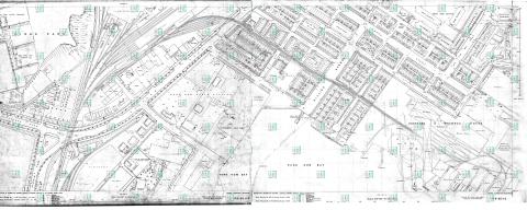
1922 map Chatham/Mody Roads
1922
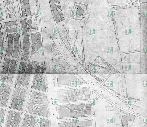
TST map 1922_detail
1922
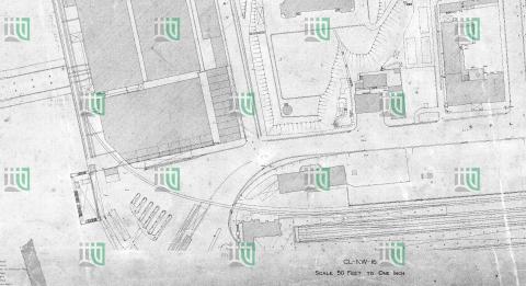
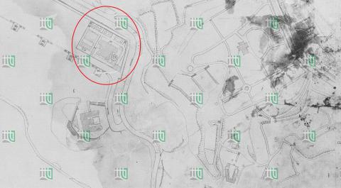
TST map 1922_KCR
1924
1924 Praya map with 5 urinals
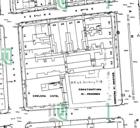
c.1928
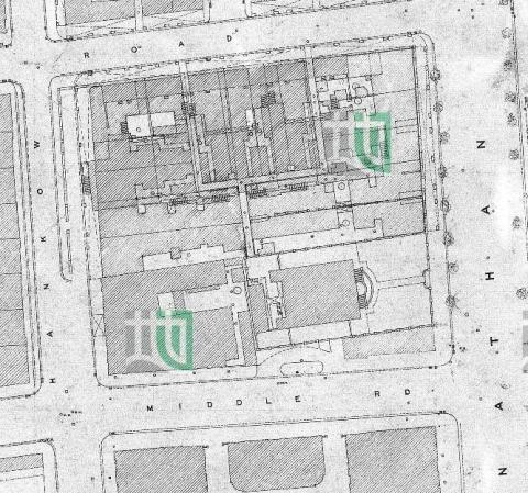
Map of the junction of Nathan and Jordan Roads [1927-1930?]
c.1928
Junction of Nathan and Gascoigne Roads map [1927-1930?]
1935
1935 map of shiu fai terrace and Catholic Cemetery
1945
Aerial Photograph of Haiphong Road 1945
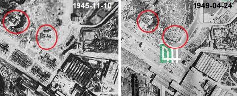
1949
Hung Hom Police Station 1945_49
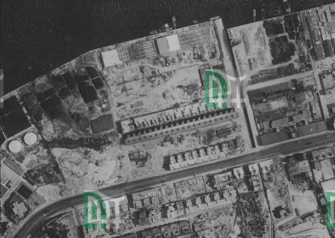
1949
North Point aerial photograph 1949
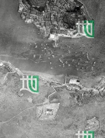
1949
Sai Kung aerial photograph with old police station 1949
1956
Map West Point Pier (Tong Shui Road) 1956
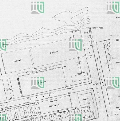
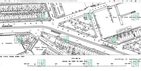
1958
Hung Hom map 1958/59
1960
TST map 1960_febr_detail
1960
Yee Wo Street map 1960
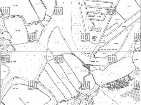
1962
Nam Sang Wai map 1962
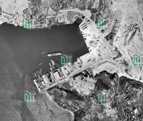
1963
1963 aerial view of Green Island Cement Company
1963
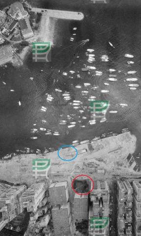
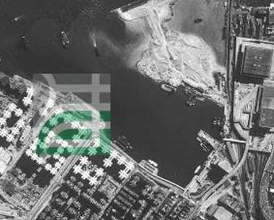
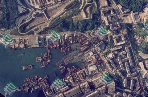
Yau Tong Bay Aerial View 1963
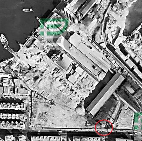
1964
Lai Chi Kok map 1964
1967
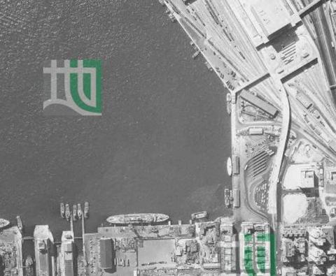
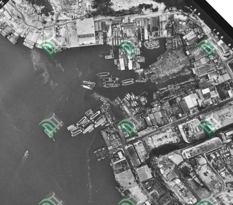
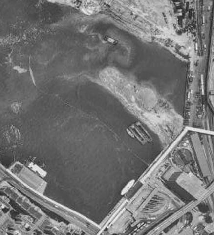
Hung Hom aerial view 1967-05-13
1967
Junk Bay Aerial Photograph 1967
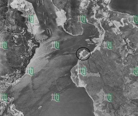
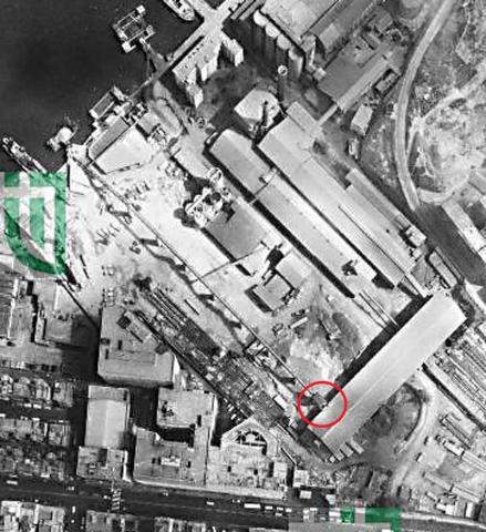
1969
1969 aerial view of Green Island Cement Company
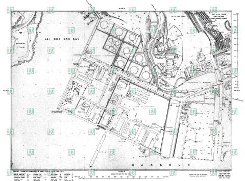
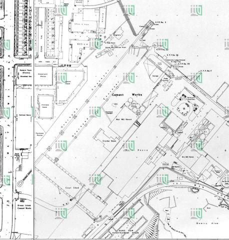
1969
1969 map of Green Island Cement Company
1969
Hung Hom aerial view 1969
1969
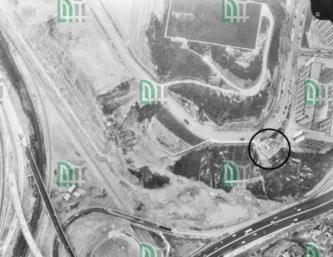
Gloucester Road Reclamation 1969
1960s
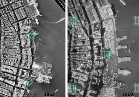
central piers aerial view 1963+1969
1972
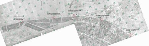
Aerial view of Gulf/Concord Kerosene Store
1973
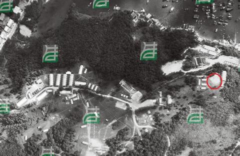
Sai Kung Camp 1973
1973
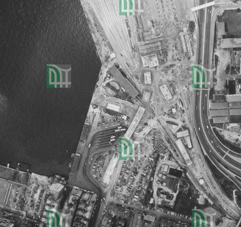
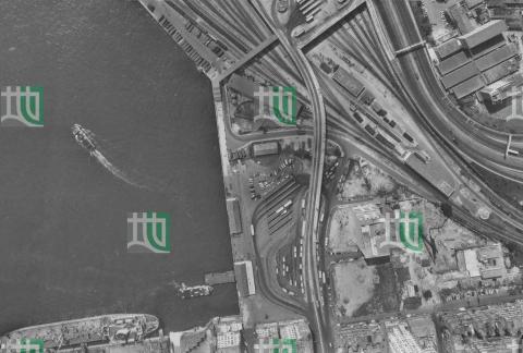
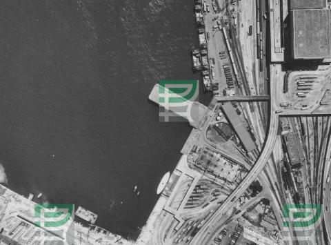
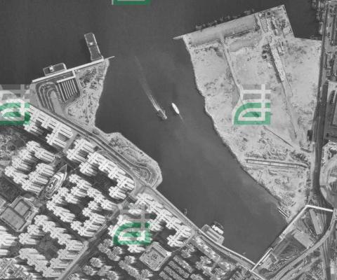
Hung Hom aerial view 1973-06-23
1973
Ice Works Causeway Bay - Conveyor Belt
1973
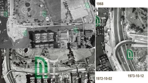
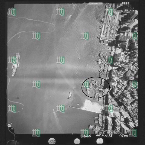
Wing Lok Pier 1973-11-01
1975
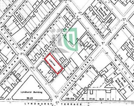
1975-09 map of the Gutzlaff Street Area
1975
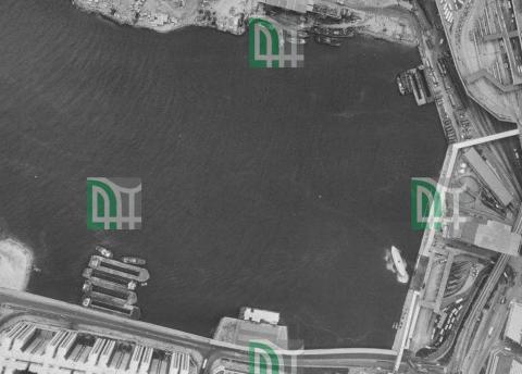
Hung Hom aerial view 1975-12-01
1976
Hung Hom aerial view 1976-11-08
1978
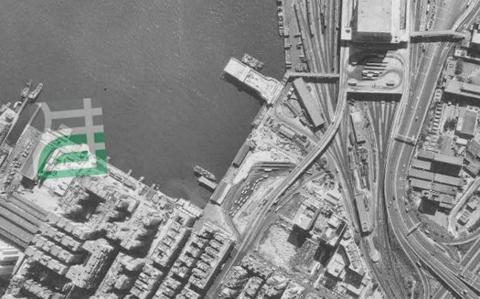
Hung Hom aerial view 1978-12-07
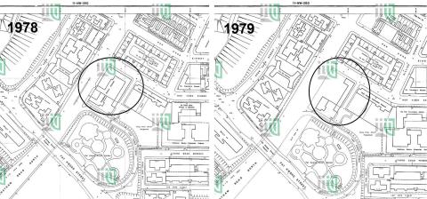
1979
Hung Hom Police Station 1978_79
1985
Yau Tong Bay Aerial View 1985
1985
Hung Hom aerial view 1985-10-03
1988
Hung Hom aerial view 1988-11-03
1989
Hung Hom aerial view 1989-02-03
1989
Hung Hom aerial view 1989-08-16
1990
Hung Hom aerial view 1990-11-13
1992
Yau Tong Bay Aerial View 1992
1994
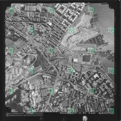
Hung Hom aerial view 1994
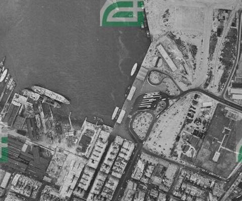
1990s
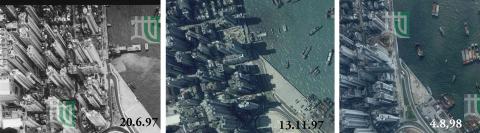
Green Island Cement Pier Demolition 1997/98