Photos tagged: map
| Year Sort descending | Title |
|---|---|
| 1964 | Wanchai 1964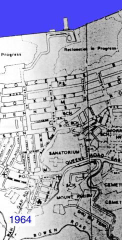
|
| 1964 | Admiralty, 1964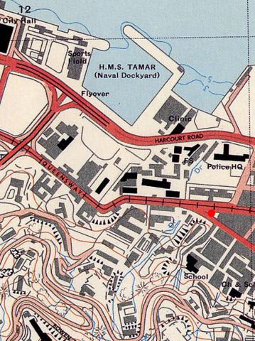
|
| 1965 | 1960s Map of Central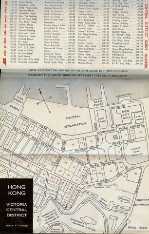
|
| 1967 | Cavendish Heights 1960s
|
| 1968 | Map showing Southern end of Anderson Road, circa late 1960s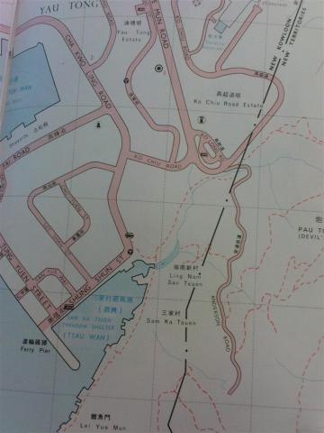
|
| 1969 | 1969 map of Green Island Cement Company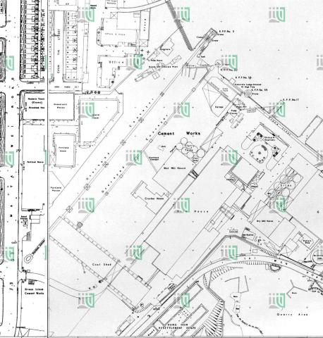
|
| 1960s | TST lights
|
| 1960s | StJoseph'sComplexMap.jpg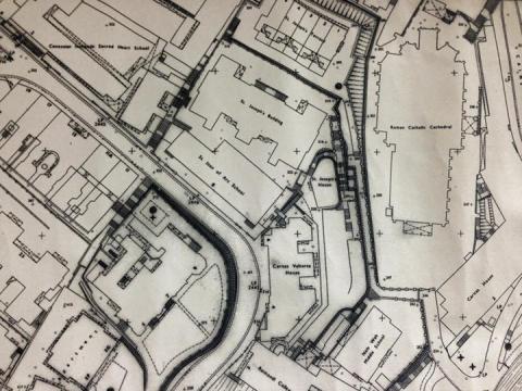
|
| 1960s | 1960 map of block bounded by DVRC / Potttinger St / Connaught Rd / Douglas St.jpg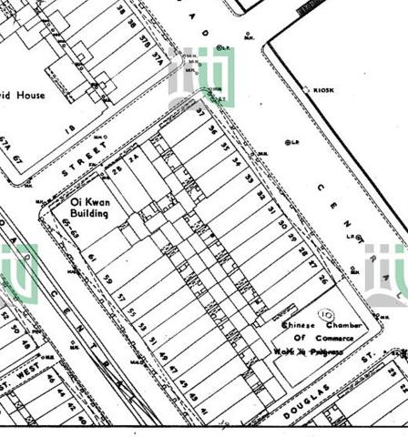
|
| 1960s | central piers aerial view 1963+1969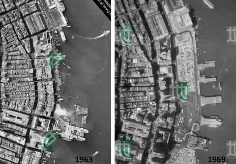
|
| 1960s | 1960 tai wan shan map.jpg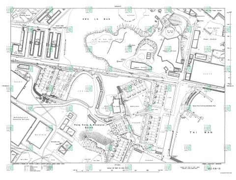
|
| 1960s | Conspicuous tree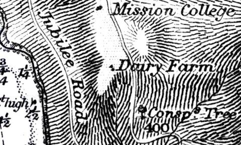
|
| 1960s | Dolphin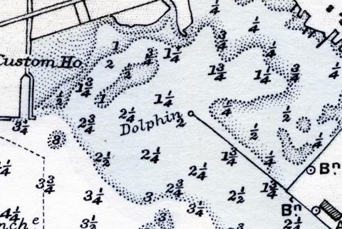
|
| 1960s | High chimney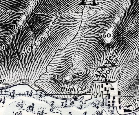
|
| 1960s | Hydrographic Office
|
| 1960s | 1960s TST Hotel Map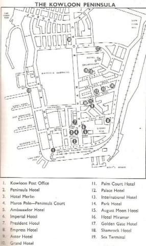
|
| 1960s | 1960s Cinemas in Kowloon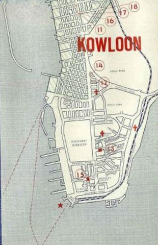
|
| 1960s | Kai Tak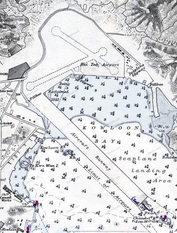
|
| 1960s | 1960s Central District Map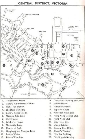
|
| 1960s | Mount Austin Hotel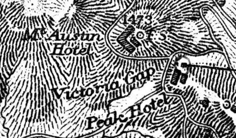
|
| 1960s | A.R.P. SCHOOL AND HEADQUARTERS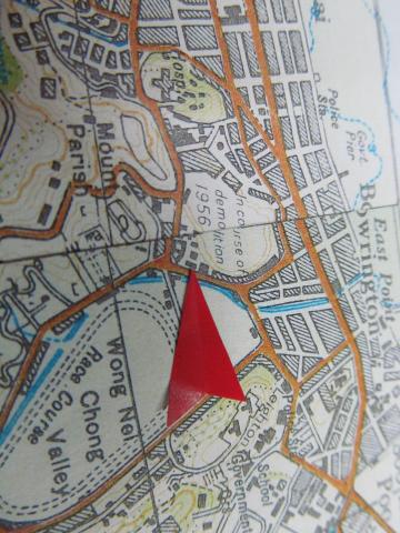
|
| 1960s | Nganchau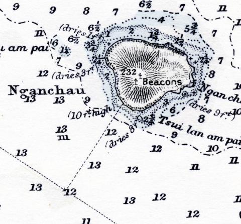
|
| 1970 | Hong Kong O\S 1970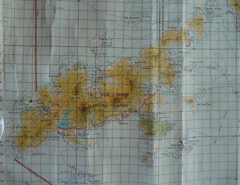
|
| 1970 | 1970 Ta Hing poultry farm, Lantau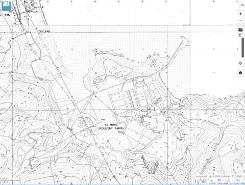
|
| 1970 | discovery bay ta hing poultry farm 1970
|