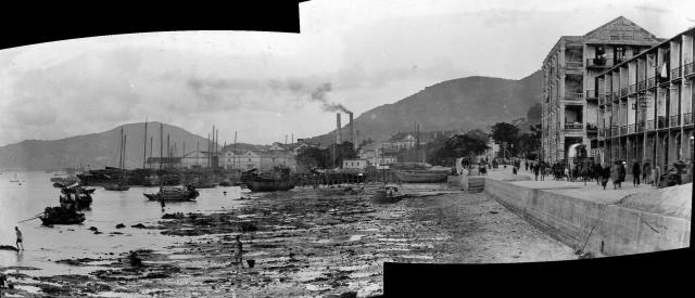
A merge of the two photos from https://www.flickr.com/photos/deswhite/11903642015/ and https://www.flickr.com/photos/deswhite/11903640195/
There was a pier off the seawall at the junction with Tin Lok Lane, so that's likely where the photographer stood to get this view looking along the beach:
https://gwulo.com/node/43093#17/22.27823/114.17935/Map_by_ESRI-1905_HK-…
Date picture taken
1901
Gallery
Shows place(s)

Comments
Observation Street Wharf
As mentioned here , Observation Place had a stone pier. The pier became a public wharf in 1907. Became disused in 1924 with the construction of the Praya East Reclamation.