Welcome to Gwulo

Here you'll find over 50,000 pages about old Hong Kong to explore, including over 30,000 photos. The content is added by a friendly community of people who enjoy sharing what we know about Hong Kong's history, and you are very welcome to join us.

Kind regards, David

P.S. To receive more old Hong Kong photos and stories, please sign up for our free weekly newsletter.

Lucky dip - a bundle of old Hong Kong photos from eBay

Submitted by David on Sat, 09/28/2024 - 22:27

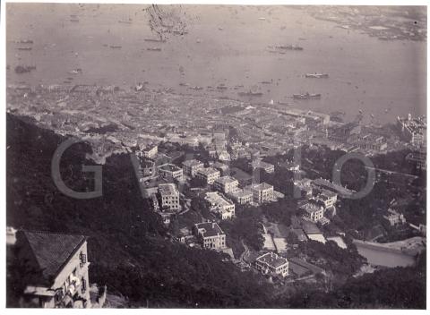
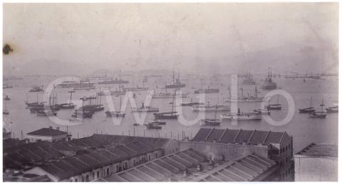
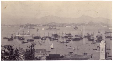
Hello from Wales! We're getting settled in, so I had time to record this short video looking at a batch of photos I recently bought on eBay. They came from a bunch of different albums but were all sold together - I guess they're the leftovers after the seller had sold off all the better photos.

The photos don't look special at first glance and I was the only bidder, so let's see if I've wasted my money or if any of the photos have a story to tell. (e-mail subscribers: if you can't see the video below, please click here to watch it on Youtube.)

2024-06 RTHK's Hong Kong Heritage - A stroll through Wanchai's history

Submitted by David on Sun, 06/30/2024 - 17:00

On this episode of the Hong Kong Heritage podcast I join host Annemarie Evans for a stroll around Wanchai, chatting about its history as we go.  You can click here to listen to the episode, then use the links below if you'd like more details about any of the topics we cover:

New on Gwulo: 2024, week 23

Submitted by David on Sun, 06/09/2024 - 12:00

What's new and updated on the Gwulo website:
 

General


Organisations & People

Exploring Kowloon's Anderson Road

Submitted by David on Sun, 05/26/2024 - 12:00

This week's newsletter looks at why the British Army built Anderson Road, how it was used, and what we found when we tried to follow its route in 2024.


If you search for Anderson Road on a modern map you'll find two matches, both short, dead-end roads, and both in the hills above east Kowloon. I've highlighted them in red below.

Remaining sections of Anderson Road

But originally Anderson Road was one, much longer road, as shown by the blue line.

Full extent of Anderson Road


The origins of Anderson Road

The book Eastern Fortress [1] is a good source for this. It explains that after the British leased the New Territories, they were concerned that a foreign enemy could land soldiers in Mirs Bay, then march them south to attack Kowloon and Hong Kong.

In the early 1910s, the man responsible for defending Hong Kong against such an attack was Major General Charles Anderson, the General Officer Commanding, British Troops in South China. He prepared plans for a defensive line, running from Lai Chi Kok to Devil's Peak along the string of peaks that overlook Kowloon. His plans called for new redoubts and blockhouses to be built, as well as new roads to enable troops to quickly move along the line to wherever they were needed. In 1912 he was given the go-ahead to build the defences he'd requested in the eastern section of the line, and 'a road from Devil's Peak to Customs Pass', i.e. Anderson Road.

The earliest map I've seen that shows the new road is a War Office map from 1922 [2], shown below.

New on Gwulo: 2024, week 19

Submitted by David on Sat, 05/11/2024 - 19:00

What's new and updated on the Gwulo website:
 

General

  • Thank you to everyone who helped type up the 1891 Jurors List. It is now available to view online. If you can spare 30 minutes to type up another page, please click here for instructions.

  • Readers are looking for any information about:

    • Kam Fung LAU [????-????], who bought 20 Broadwood Road during WW2

    • Tanka People of Hong Kong

    • Does anyone recognise these buildings, and could they have been used as Army quarters in the 1950s?

      Possible Quarters
      Possible Quarters, by thermogram
    • If you lived near Ping Shan in the 1950s, do you recognise Mr Chan and his son?

      mr chan and son didi 1955 Ping Shan
      mr chan and son didi 1955 Ping Shan, by Curly Watson


Gwulo's Farewell - illustrated talk