Skip to main content
Menu
Menu
Home
Free newsletter
Shop
Explore
Add new...
What's new
FAQs
About
Gwulo menu for header
Show — Gwulo menu for header
Hide — Gwulo menu for header
Home
What's new
Gwulo
Old Hong Kong
Recent content
Type
Title
Author
Comments
Last updated
Image
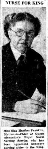
Miss Olga Franklin was appointed as an Honorary Sister to King George VI. (19-04-1949)
Alan Ho
0
2 years 3 months ago
Image
1954 NT-1.jpg
Peter
3
2 years 3 months ago
Place
Boulder at Ki Lun Kong Public Park, Tuen Mun [????- ]
philk
0
2 years 3 months ago
Image
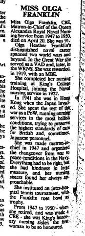
Miss Olga Franklin, the first woman to be honoured as King's Honorary Nursing Sister. (23-04-1987, The Times)
Alan Ho
0
2 years 3 months ago
Image
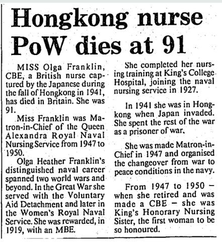
Miss Olga Franklin, the first woman to be honoured as King's Honorary Nursing Sister. (08-05-1987, South China Morning Post)
Alan Ho
0
2 years 3 months ago
Image
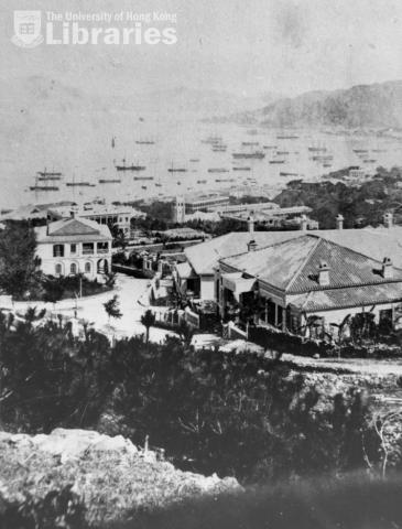
Looking north from Old Peak Road
Herostratus
0
2 years 3 months ago
Place
Building on the southeast corner of the junction of Jordan and Nathan Roads [????-????]
Admin
0
2 years 3 months ago
Image
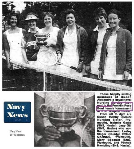
Miss Olga Franklin - Franklin Rose Bowl Tennis Trophy
Alan Ho
0
2 years 3 months ago
Image
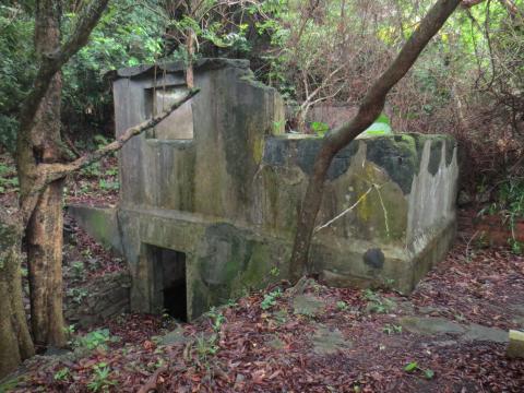
Two-storey ruin at Mount Davis
gw
0
2 years 3 months ago
Place
Mount Davis Port War Signal Station [????- ]
gw
0
2 years 3 months ago
Place
Anti-submarine Boom (Second Location) [1940-????]
gw
0
2 years 3 months ago
Place
Anti-submarine Boom (First location) [1939-1940]
gw
0
2 years 3 months ago
Place
Tathong Channel Minefield [1939-????]
gw
1
2 years 3 months ago
Image
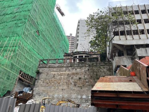
old mansion behind queens road east
danielwettling
1
2 years 3 months ago
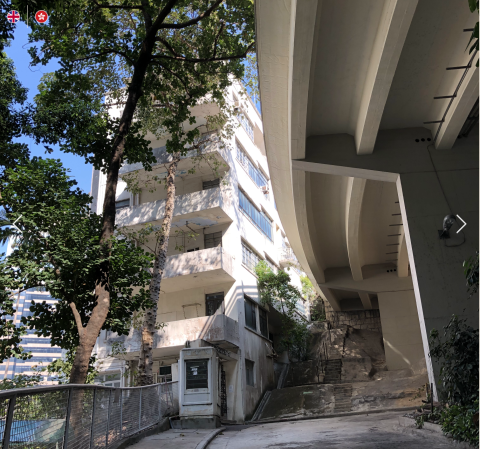
Image
alford house
TN Kwok
0
2 years 3 months ago
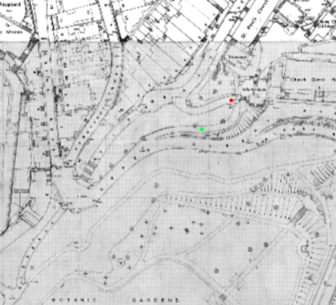
Image
Path between Upper Albert Road and Glenealy Road 1955
eurasian_david
0
2 years 3 months ago
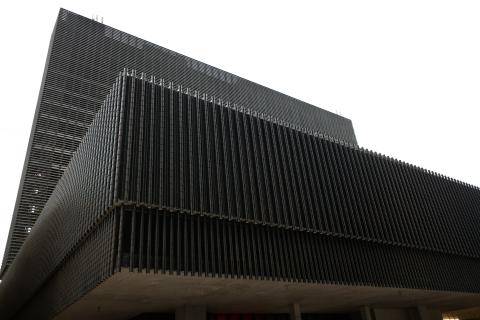
Image
M+ Museum
Raymond Lo
0
2 years 3 months ago
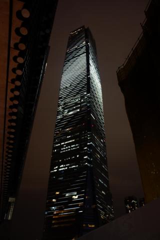
Image
International Commercial Centre
Raymond Lo
0
2 years 3 months ago
Image
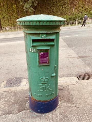
Post Box 436
philk
2
2 years 3 months ago
Image
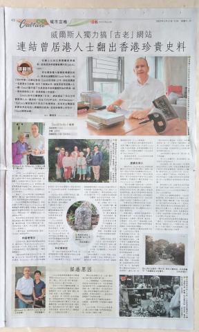
20230211 HKEJ interview
Admin
2
2 years 3 months ago
Image
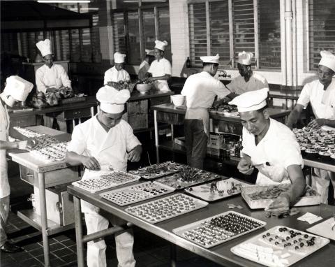
Flight Kitchen
Paulo
1
2 years 3 months ago
Image
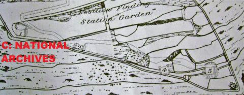
Plan of a PFS (Copyright TNA UK)
Johnc
0
2 years 3 months ago
Image
Surviving Cell, Garden PFS, Gibraltar
Johnc
0
2 years 3 months ago
Image
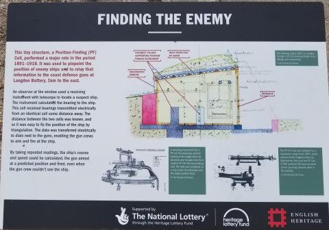
English Heritage Sign Board, showing a cell
Johnc
0
2 years 3 months ago
Person
Francis CHOMLEY [1822-1892]
PeterC
2
2 years 3 months ago
Pagination
First page
« First
Previous page
‹ Previous
…
Page
676
Page
677
Page
678
Page
679
Page
680
Page
681
Page
682
Page
683
Page
684
…
Next page
Next ›
Last page
Last »