Skip to main content
Menu
Menu
Home
Free newsletter
Shop
Explore
Add new...
What's new
FAQs
About
Gwulo menu for header
Show — Gwulo menu for header
Hide — Gwulo menu for header
Home
What's new
Gwulo
Old Hong Kong
Photos tagged:
aerial photographs
Primary tabs
View
Books
Events
Organisations
Pages
People
Photos
Places (map)
Places (list)
Streets (map)
Timelines
Items per page
25
100
- All -
Year
Title
1979
Departure from Kai Tak (4)
1979
Shatin-New Town-3
1979
1979 - flying into Kai Tak Airport
1979
1979 - flying into Kai Tak Airport
1970s
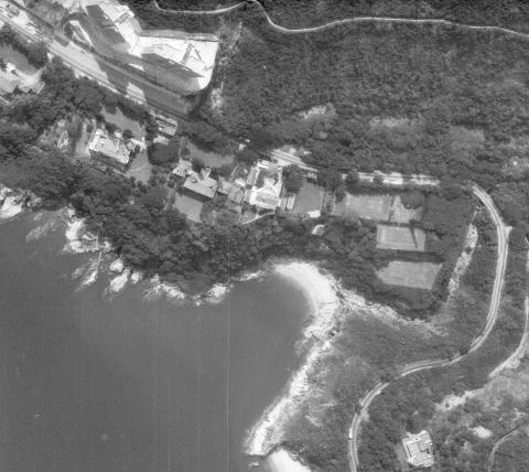
Aerial view of Tai Tam, circa 1970
1970s
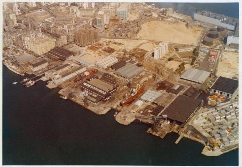
Hong Kong United Dockyards
1970s
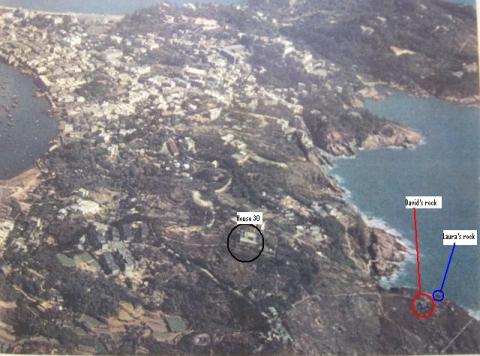
Mystery Rock, Aerial view
1970s
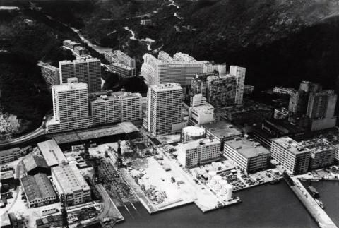
1970s Taikoo Dockyard
1970s
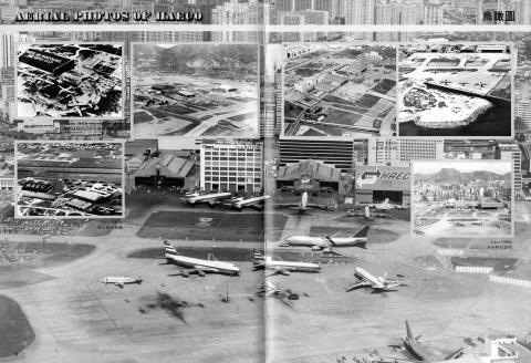
Kaitak-Airport-Former-HAECO-premises-Aerial
1970s
000006 (3).JPG
1970s
1970 Over North Kowloon
1970s
1970 Lai Chi Kok from the air
1970s
TST Aerial View
1970s
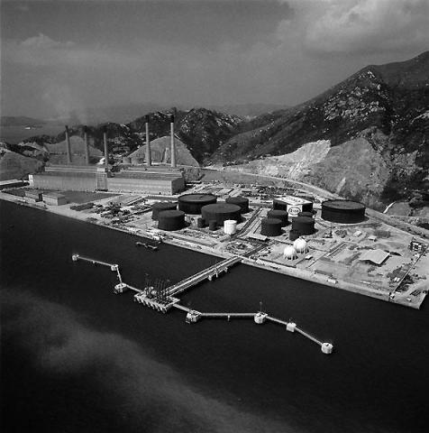
Tsing Yi Power Station (1970's)
1970s
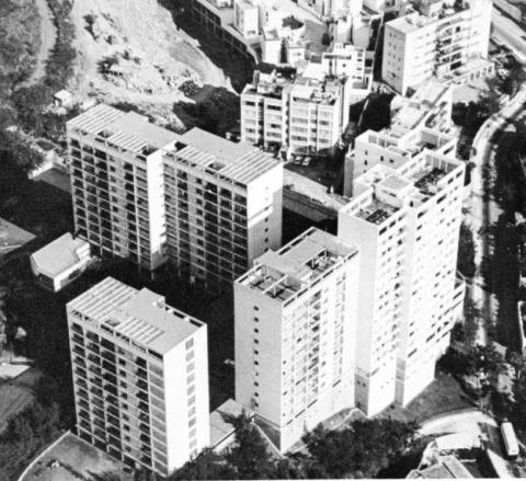
Cavendish Heights-Hong Kong Electric Company staff quarters - edited.jpg
1970s
Mei Foo aerial view 1970.jpg
1970s
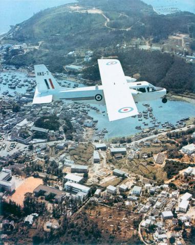
1970s RHKAAF Islander over Hong Kong
1970s
The hong kong polytechnic 4
1970s
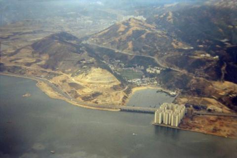
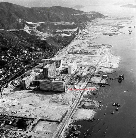
1975 shatin air view
1970s
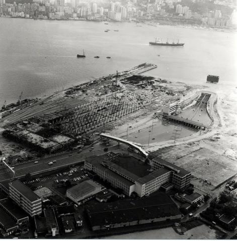
Wanchai reclamation-1970s
1970s
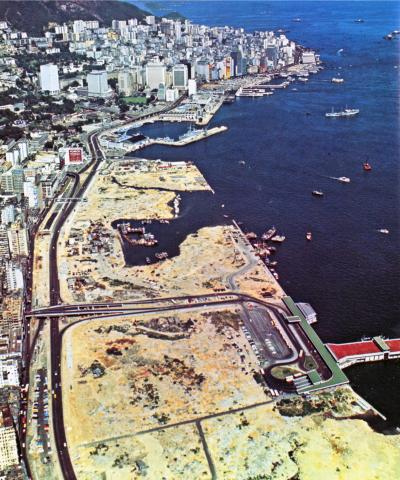
Western district waterfront-1970s
1970s
Cavendish Heights, Jardine’s Lookout, circa mid-1970s
1980
Canton Road/Kowloon Park Drive aerial view 1980
1981
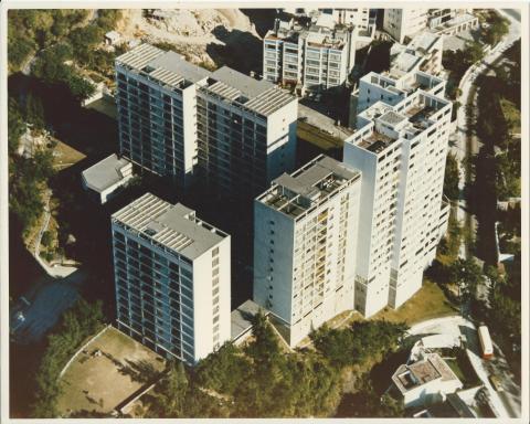
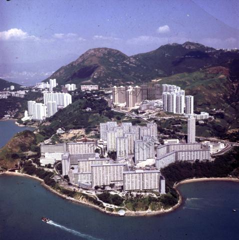
1981 Wah Fu, Hong Kong's largest public estate
1982
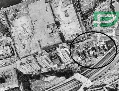
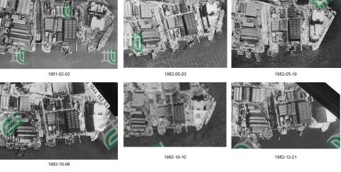
Hammerhead Crane (Demolition) Timeline
Pagination
First page
« First
Previous page
‹‹
…
Page
15
Page
16
Page
17
Page
18
Page
19
…
Next page
››
Last page
Last »