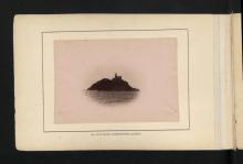
Tang Lung Chau Lighthouse [1912- ]
- Read more about Tang Lung Chau Lighthouse [1912- ]
- 4 comments
- Log in or register to post comments
From Declared Monuments in Hong Kong - Outlying Islands
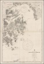
Situated on Tang Lung Chau (originally known as Kap Sing Island), a small island to the west of Hong Kong and south of Ma Wan in Kap Shui Mun, Tang Lung Chau Lighthouse is one of the few surviving pre-war lighthouses in Hong Kong.