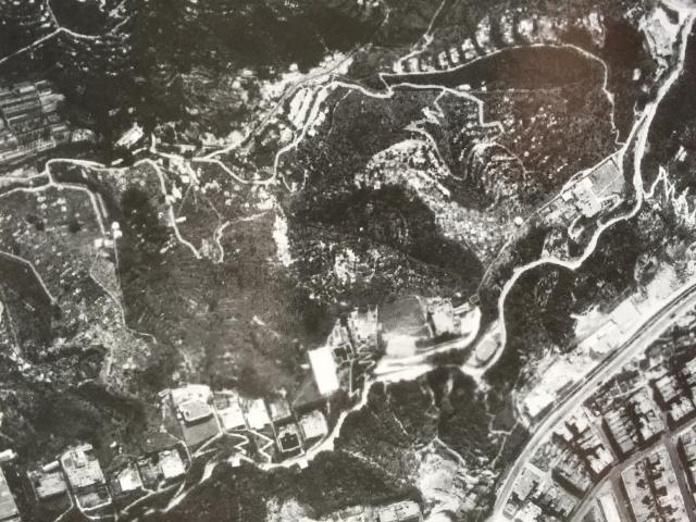
In a recent thread titled "1920s / 30s top of Broadwood Road" https://gwulo.com/media/44477 Aldi put out a request for pictures of the top of Broadwood Road. With the help of Tony Lam who kindly took me to the Lands Office, I bought a couple of aerial images of the top of Broadwood Road. I probably signed something to say that they would be for my personal research only. They will be copyright to the Lands Office. I can't currently lay hands on the date of this photo - possibly post-war, but it may be of help to Aldi in his own research into the later buildings at the top of Broadwood Road.
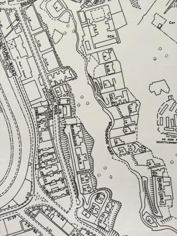
I am adding a post-1953 map of Broadwood Road (previously uploaded) for comparison. The Towers, 20 Broadwood Road was knocked down in 1953 and replaced with three blocks of flats, 20A,20B & 20C.
Comments
PS to above image
I think I have already uploaded this, or the second of my two aerial photos of the top of Broadwood Road at https://gwulo.com/media/50288 but it is the other way up!