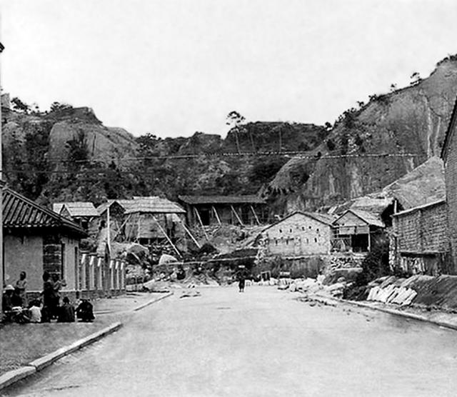
Text on Flickr: 1900年代在公眾四方街的油麻地官立學校及天后廟 (Google translated = In the 1900's the public Square Street, Yau Ma Tei government schools and Tin Hau Temple). School is on the left, temple on the right. The direction of view is east.
Source: This image came from Flickr, see https://flickr.com/photo.gne?id=8626094339
Date picture taken
1910s
Gallery
Shows place(s)

Comments
King's Park Hill
In the back, King's Park Hill is visible. Robinson/Nathan Road will run at the foot of the hill later. The Hill was removed in the following years.
There's a good view of the
There's a good view of the school and the temple on the 1920 map:
https://gwulo.com/node/25877#18/22.31027/114.17076/Map_by_ESRI-1920_Kowloon-Markers/100