This walk has three tunnels, great views, and lots of steps. One to keep for Boxing Day in case you need to walk off the effects of too much Christmas pudding!
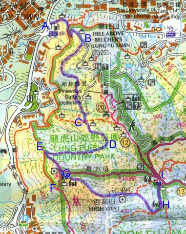
Here's the map we'll use. It's part of the Hong Kong island map from the government's Countryside Series:
Pokfield Road Bus Terminus
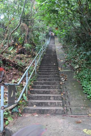
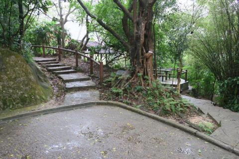
We'll start off at the Pokfield Road Bus Terminus (marked "A" on the map). Ready for steps?
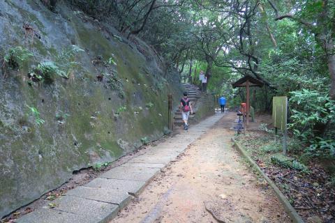
You'll come to what looks like a flat path with stone slabs.
It is actually the old Pokfulam Conduit that brought the water around from Pokfulam reservoir to the city [1].Cut across and keep on up hill. Soon after the path joins onto a paved road, but we only stay on it for a short distance. Just before it makes its first hairpin bend, turn off to follow the flat path on the right (B on the map).
This is one of the wonders of Hong Kong, just a few minutes walk from the busy city and we're deep in to the countryside.
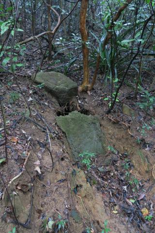
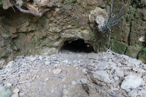
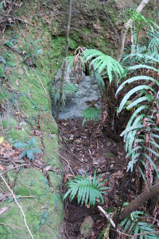
As you walk along, keep an eye out on the left for this.
It's the entrance to the first of the three tunnels we'll see today. They were built by the Japanese during their occupation of Hong Kong during WW2, in preparation to defend against the expected attack from the allies [2].
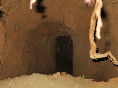
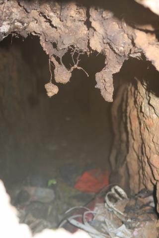
I first saw this tunnel several years ago. It was open then, but has since had a concrete cover put over it. Over time the earth above the cover has collapsed, so now there is a hole at the top big enough to poke a camera inside.
There isn't any draught at the entrance, and the air feels very humid, so this is probably just a single tunnel going straight back into the hill. (Larger networks have multiple tunnels and entrances / exits, so there's a flow of fresh air through them.)
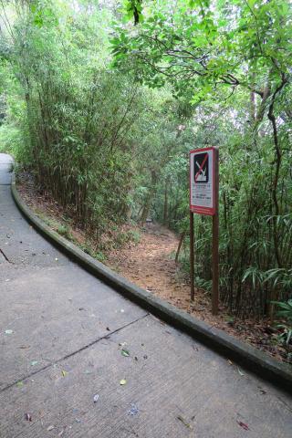
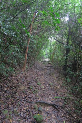
The path meets a road, but again it's only a short section before you're back on to a track (C on the map).We take the path to the left:
The path leads along the side of the valley til you reach a stream (D on the map).
We've seen this stream before. Further up the hill it fills the small dam that we saw on the previous cool-weather walk [3].
Our path runs straight along til it makes a right-angle turn around a ridge (E on the map). You won't miss it as just before you get to the turn the path goes up then down a few steps.
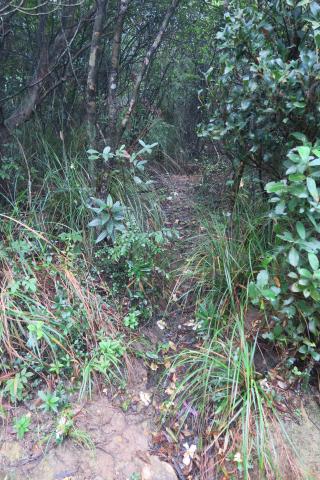
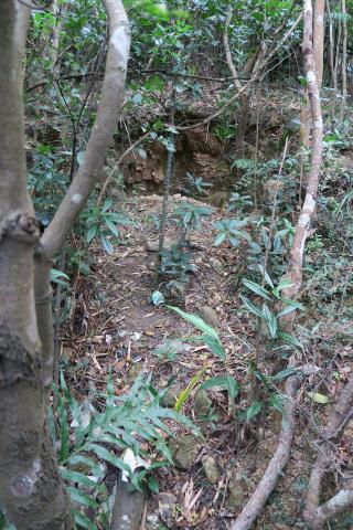
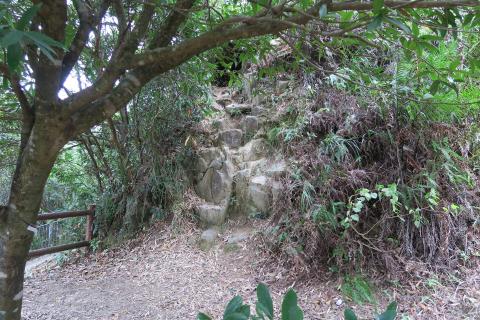
We want to get to the Artillery Observation Post (AOP) further up the ridge, at the end of Harlech Road [4]. The map shows a cross roads, with clear paths running up and down the ridge, and the uphill path meeting the end of Harlech Road. That's the path I took for the first time on Monday. I'm glad I did because it led me to the second tunnel, but I collected a few scratches along the way. Here's what it looks like:
An easier route is to carry on along the flat path til you reach the junction with the Hong Kong Trail (F on the map), then walk up these steps to the AOP.
(Or easier still, you could walk from the Peak Tram along Harlech Road to the AOP. That's mostly a flat walk.)
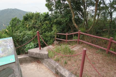
The Artillery Observation Post at the end of Harlech Road
A bit of good news:
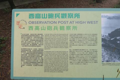
The old information board up here used to say this was a pillbox. Rob Weir corrected us that it was actually an Artillery Observation Post, and it's good to see that the information board has been updated too.
Today we're interested in what's just down the slope in front of the AOP. From the AOP, walk over to the right, and climb over this concrete fence:
You can see the tree has some of those coloured strings people use to mark the less obvious paths.
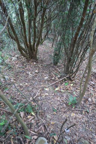
This is the top of the path that ran up the ridge from point E on the map. You'll see the path is clear here, and in the distance you should be able to make out a trench.
If you climb down and tke a closer look, you'll see the trench runs left and right to either side of the ridge. On each side it runs to the caved-in entrances to what look like they were large Japanese tunnels. Here's the one on the left.
There's a tiny section at the top that isn't covered, but I couldn't see clearly enough to tell how far back it runs.
The tunnel on the right has collapsed completely, so that one has no opening at all.
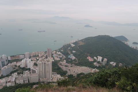
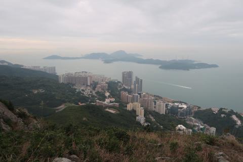
This location has a good view out over the western entrance to the harbour, so it's not surprising they'd want a military presence here. The tunnels likely led back into the AOP, as we've seen a very similar layout at the Mount Braemar AOP [5]. There the Japanese dug down through the floor of the AOP, then dug tunnels down and out through the hillside.
High West
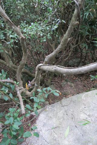
Back up at the AOP, walk across the flat patch of land to the ridge running up to High West (G on the map). If you look at the centre of this photo, you can see a bare, rocky patch. That's our path.
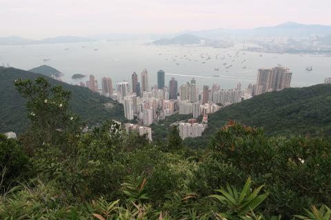
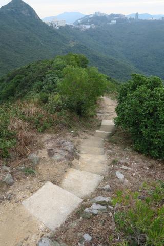
That first section is a bit of a clamber, you'll need to use your hands to help you climb up. But the good news is that what you see in this photo is the worst of it. The rest of the trail is still steep, and I was often glad of a branch to hold on to help myself up, but you won't be on hands and knees again. There are also some great views as you head up the ridge, and of course from the very top.
At the top you'll reach railings, and that's the end of the off-road trails. The walk down the other side is along a concrete staircase.
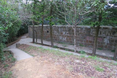
At the bottom (H on the map) you'll see this neatly built, but apparently pointless wall:
If you were stood here a hundred years ago, its point would have been immediately obvious - this was the target area for the army's firing range on the Peak [6]. The men operating the targets were very happy to be hidden safely behind this wall.
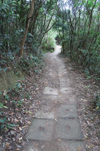
As you walk out towards Harlech Road, watch out for some concrete blocks on the left of the path.
When you reach the blocks, look into the undergrowth on the left of the path to see the third and final set of Japanese tunnels for the day. The tunnels branch off like the fingers and thumb of a hand, five in all. They've all been blocked up, but one has a gap we can poke a camera into:
You can see how humid it is inside from the foggy appearance of the air, so there doesn't look to be any other entrance than the five we can see here.
Carry on along the path and you'll come out to the junction of several paths (I on the map). Lugard Road takes you round to the Peak Tram Terminus, with great views over the city as you go. Harlech Road takes you to the same place, but is a shorter walk with views over Pokfulam reservoir towards Lamma. Or Hatton Road will take you down to Hong Kong University and the MTR Station. You can hear me talk about things to see along these roads in a couple of recent recordings of RTHK's Hong Kong Heritage show [7].
I'd hoped to finish off one more post about an old photo, but we start our Christmas break today so that will have to wait til after the holidays. We're off to spend Christmas with family in the UK, where we won't be short of opportunities for cool-weather walks!
Safe travels if you're heading away from home over the holidays, and let me wish you a very merry Christmas,
Kind regards, David
|
Also on Gwulo.com this week:
|
References:
- The Pokfulam Conduit, which brought water from Pokfulam reservoir round to the city.
- Japanese wartime tunnels.
- Dam below Hatton Road that we saw on the previous cool-weather walk.
- Artillery Observation Post (AOP) at the end of Harlech Road.
- AOP at Braemar Hill. Photos and video of the AOP and the tunnel below it.
- The Butts, where targets were set up on the Peak's rifle range.
- RTHK shows where I talk with Annemarie Evans about Lugard Road, and Harlech & Hatton Roads.
Comments
Another tunnel
I used to live in Kennedy Town and would explore the various trails up to the Peak. I found a tunnel before on a trail up to High West from Pokfulam Reservoir. The trail starts at the green circle in this image, it rises steeply and becomes quite overgrown, and the tunnel was somewhere between the two red circles, on the left hand side of the trail (or right hand side if you are coming down from High West). It seems to be a less-trodden path than others so the tunnels may still be open.
re: Another tunnel
Thanks for the directions. I've only ever been along that trail once, I remember the middle section wasn't a very clear path? I haven't seen that tunnel before though, so I'll re-visit that trail with your directions and see if I can find it.
Regards, David
Has anybody visited this one
Has anybody visited this one yet? Looking for more detailed location and description.
re: Has anybody visited this one
Sorry to say that I never did go back to that area. I hope you're able to find it and show us what it looks like.
May I post your map and
May I post your map and description into another online forum to find some answers?