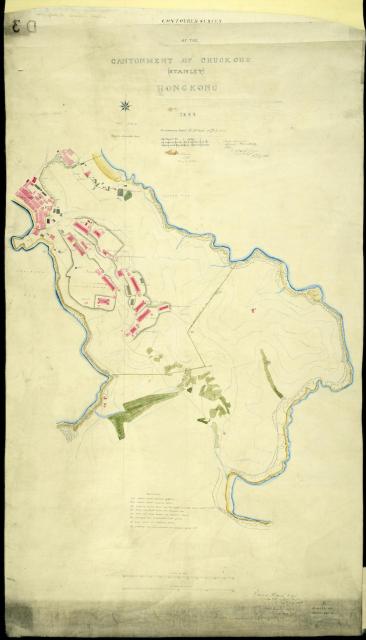
This is the whole plan of the 1842-c.1850 Stanley Cantonment. The most interesting element from the present day perpective is the boundary of the military land. The southernmost boundary point, on today's St Stephen's beach, had a boundary marker stone (BO and broad arrow) that still exists.
Date picture taken
1844
Gallery
Shows place(s)