Photos tagged: map
| Year | Title |
|---|---|
| 1955 | 1950s Map of Central District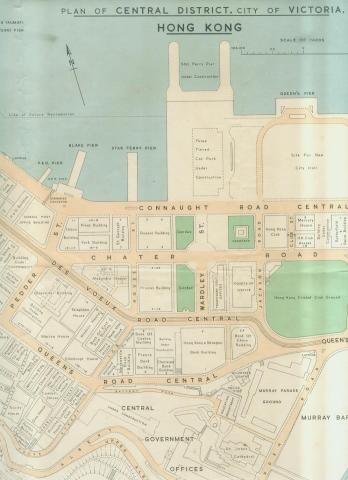
|
| 1955 | 1955 1-600 Robinson Road 196-SW-9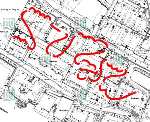
|
| 1955 | Shek Tong Tsui Godowns (1950s) and map (1905) 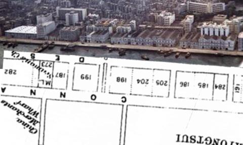
|
| 1955 | 1955 Area around the old flagstaff site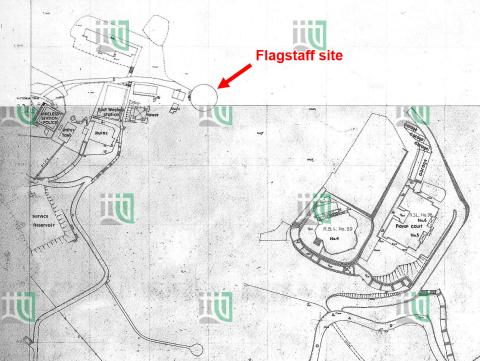
|
| 1955 | 1955 Lot survey Map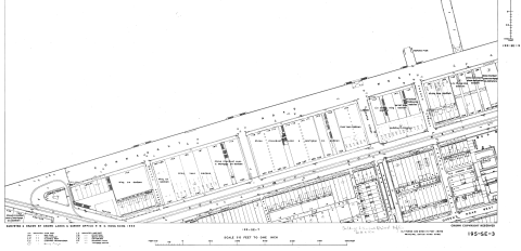
|
| 1956 | Peak Map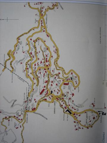
|
| 1956 | Hong Kong Guide 1956 Map Of Kowloon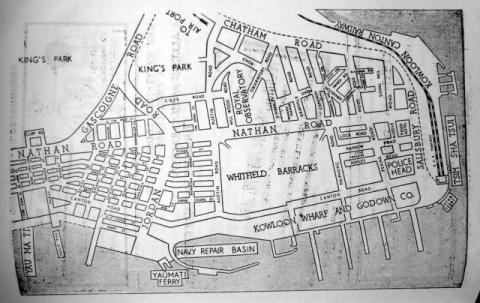
|
| 1956 | Map West Point Pier (Tong Shui Road) 1956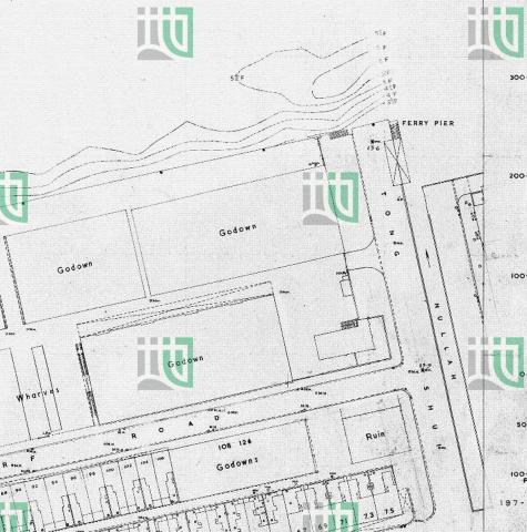
|
| 1957 | 1957 Map #1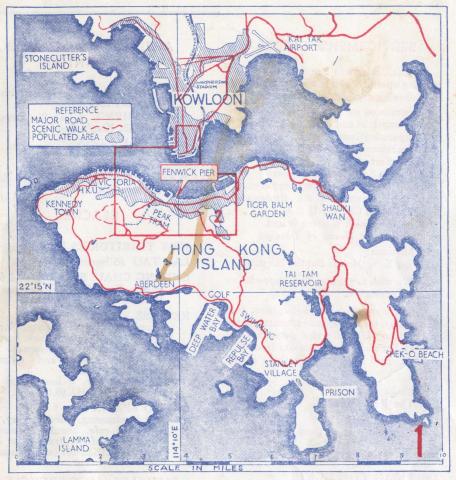
|
| 1957 | 1957 Map #2A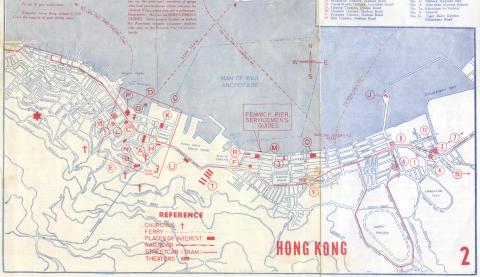
|
| 1957 | 1957 Map #2B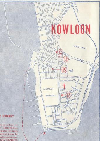
|
| 1957 | 1957 Map #3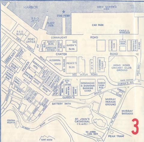
|
| 1957 | 1957 Map of Central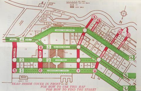
|
| 1957 | 1957 map f.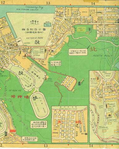
|
| 1957 | 1957 map key o.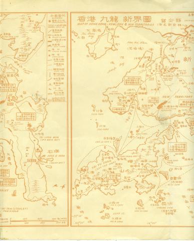
|
| 1957 | Kai Tak airport area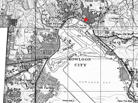
|
| 1957 | Hong Kong map 1957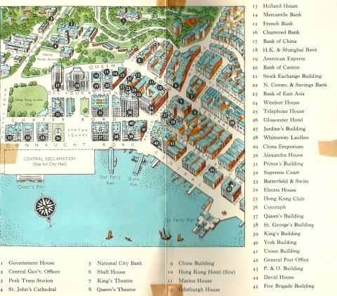
|
| 1957 | Kowloon street map 1957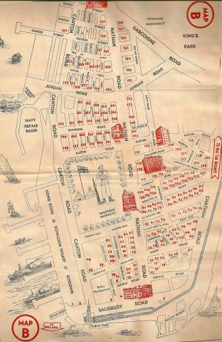
|
| 1957 | Hong Kong street map 1957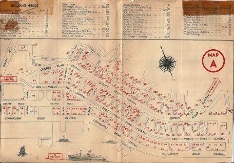
|
| 1957 | 1957 Map of Shatin area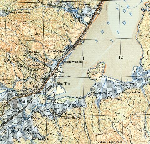
|
| 1957 | 1957 Sham Tseng map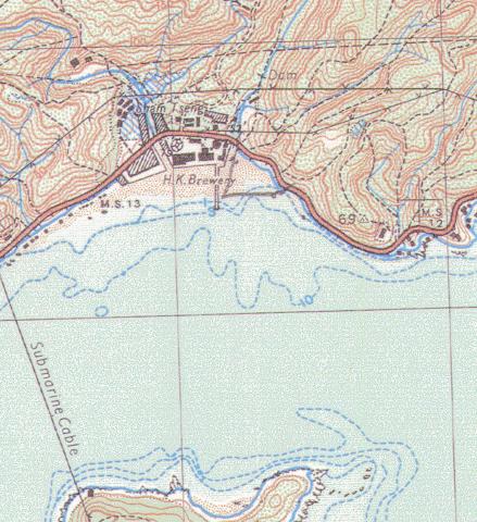
|
| 1957 | 1957 map of Tai Hang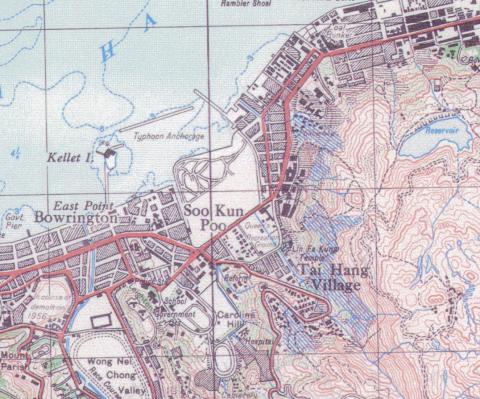
|
| 1957 | Dairy Farm Aerial Ropeway - 1957 Map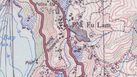
|
| 1957 | Dockyard 1950s upload.jpg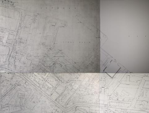
|
| 1957 | Wanchai Road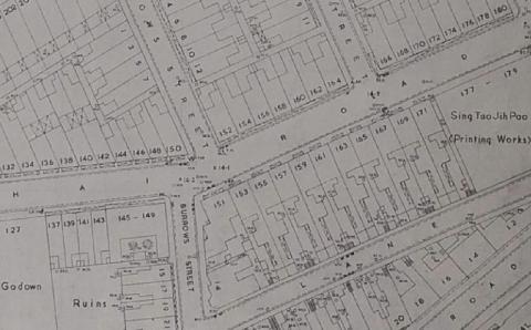
|