Skip to main content
Menu
Menu
Home
Free newsletter
Shop
Explore
Add new...
What's new
FAQs
About
Gwulo menu for header
Show — Gwulo menu for header
Hide — Gwulo menu for header
Home
What's new
Gwulo
Old Hong Kong
Photos tagged:
map
Primary tabs
View
Books
Events
Organisations
Pages
People
Photos
Places (map)
Places (list)
Streets (map)
Timelines
Items per page
25
100
- All -
Year
Title
1845
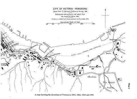
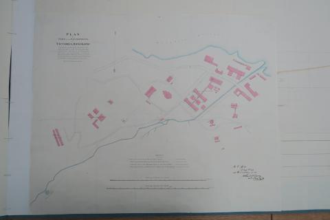
City of Victoria map 1845
1845
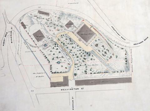
Wellington Barracks map 1845
1846
Harbour Master's House
1840s
1840 Cum-sing moon.JPG
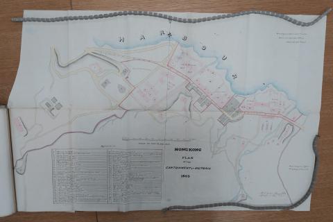
1853
1853 Plan of the Cantonment at Victoria
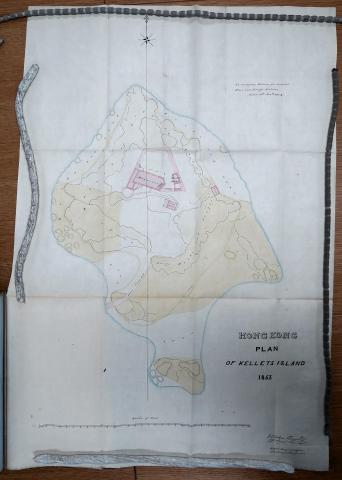
1853
Kellett Island 1853
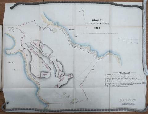
1853
Stanley Military Cantonment 1853
1855
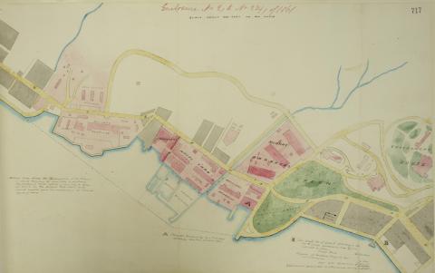
Mid 1800s Wanchai Map
1856
Admiralty, 1856
1856
Map 1856 - Admiralty
1856
1856 Map - Detail - Sai Ying Poon
1856
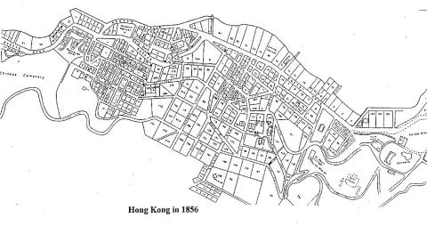
HK in 1856
1857
1857Map copy.jpg
1858
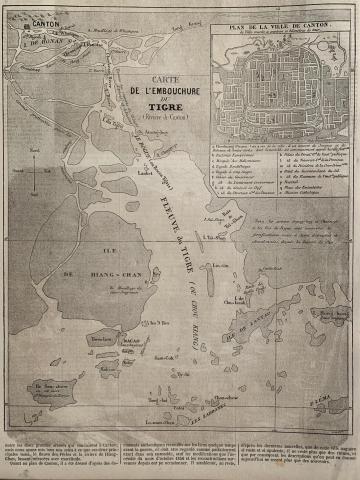
1858 map of Hong Kong, Macao, Canton, Pearl River
1850s
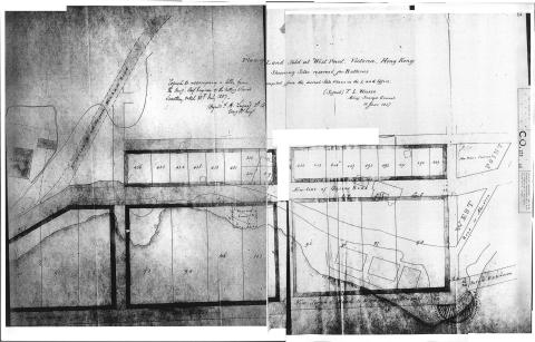
1850 Green Bank
1850s
1850 Cast iron tanks and pipes in Victoria Cantonment
1850s
Cast iron tanks
1850s
Mid 1800s Wanchai Map
1861
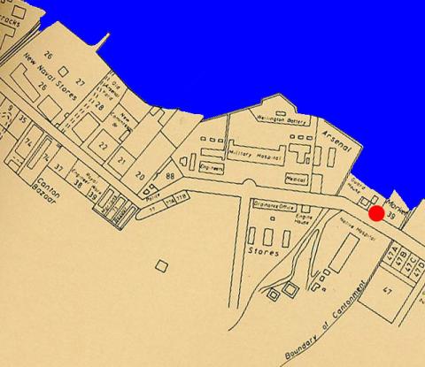
Plan of Victoria Military Facilities
1862
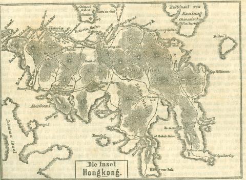
1862 Map of Hong Kong
1863
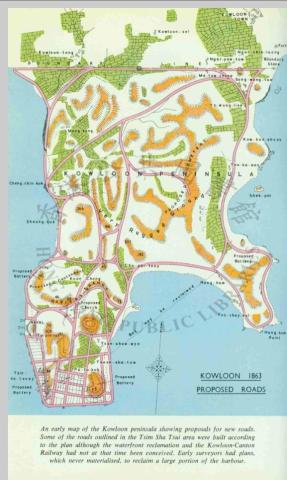
1863 Tsim Sha Tsui map
1863
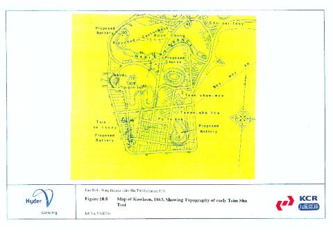
1863 kowloon map
1864
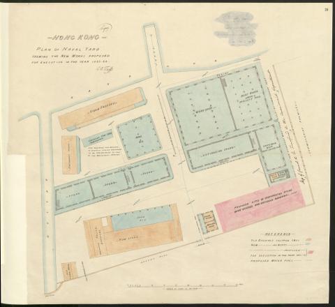
Plan of Naval Dockyard 1863-64
1866
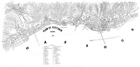
Victoria-Harbour - map of 1866
1866
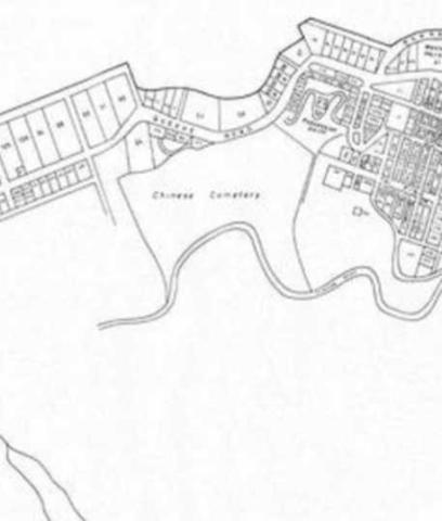
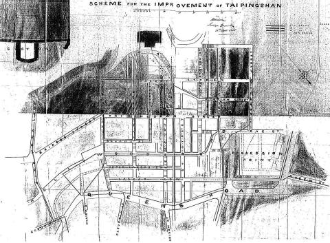
Tai Ping Shan
Pagination
First page
« First
Previous page
‹‹
Page
1
Page
2
Page
3
Page
4
Page
5
…
Next page
››
Last page
Last »