Skip to main content
Menu
Menu
Home
Free newsletter
Shop
Explore
Add new...
What's new
FAQs
About
Gwulo menu for header
Show — Gwulo menu for header
Hide — Gwulo menu for header
Home
What's new
Gwulo
Old Hong Kong
Cart Flyout
Photos tagged:
map
Primary tabs
View
Books
Events
Organisations
Pages
People
Photos
(active tab)
Places (map)
Places (list)
Streets (map)
Timelines
Items per page
25
100
- All -
Year
Title
Sort descending
1930s
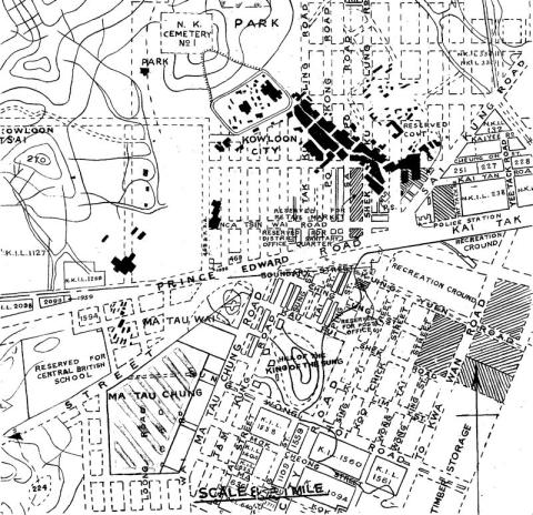
1930s Kowloon City Street Map
1936
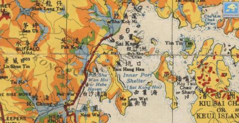
1930s Sai Kung Police Station
1937
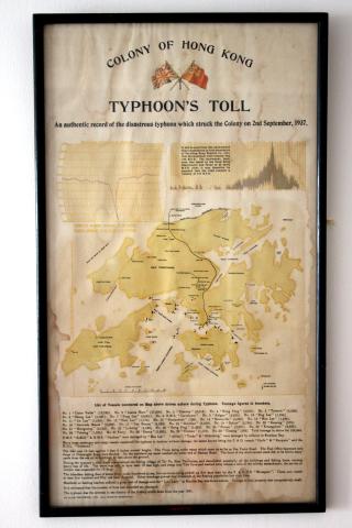
1937 Typhoon's Toll Document
1938
1938 HK & Whampoa Dockyad KCR Extension.jpg
1938
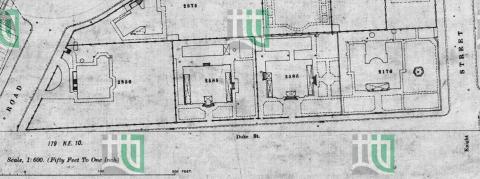
1938 map of Duke Street
1939
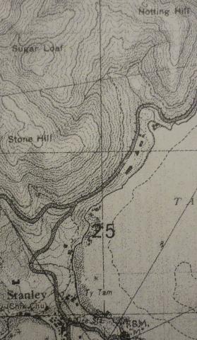
1939 OS Map of Stanley Main Beach
1940s
1940s map.jpg
1941
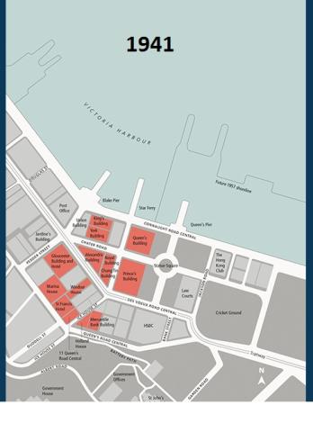
1941 Hong Kong Land properties
1944
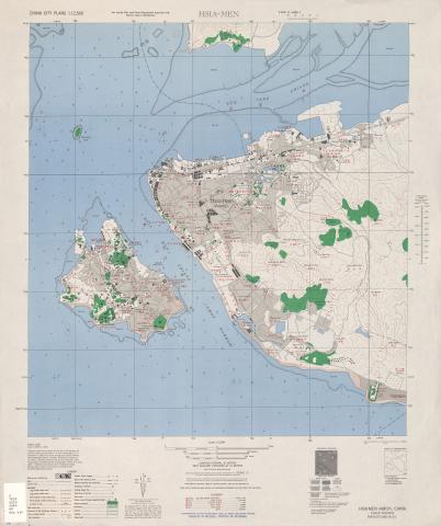
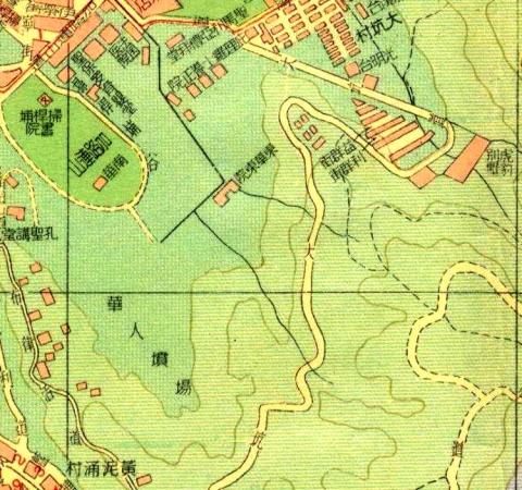
1945 Map of Amoy
1945
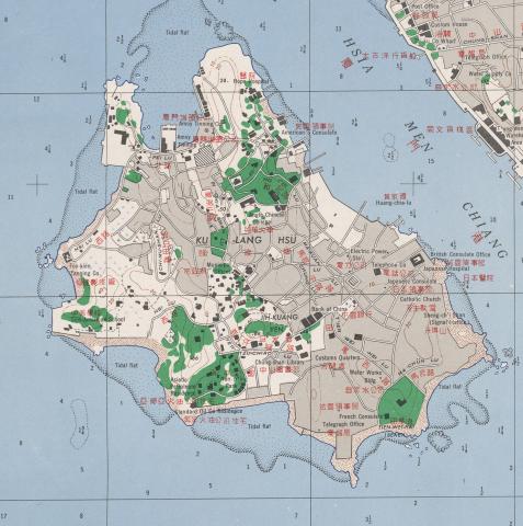
1945 Map of Kulangsu
1947
1947 KCR Railway Siding to Holt's Wharf & KWGC
1947
1947 KCR Railway Siding to Hong Kong Whampoa Dockyard
1947
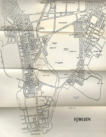
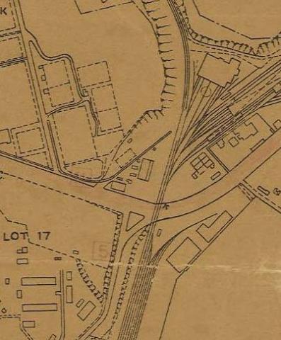
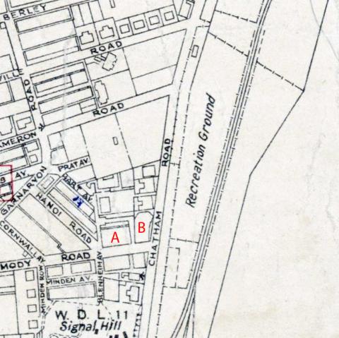
1947 Map of Kowloon near Chatham Road
1950s
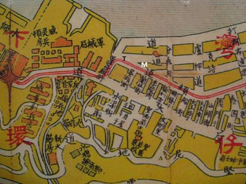
1950 Sookunpoo Map
1955
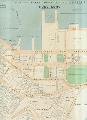
1950s Map of Central District
1950s
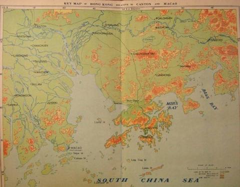
1950s Map Of Hong Kong (Relative to Canton and Macao)
1955
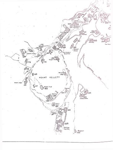
1950s Map of Mount Kellett
1955
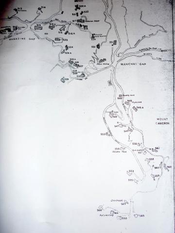
1950s Map of Wanchai Gap & Mount Cameron
1955
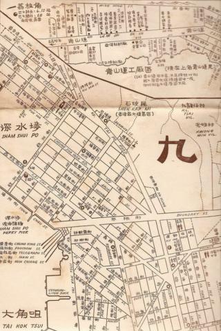
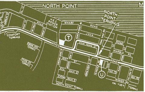
1950s North Kowloon Map
1958
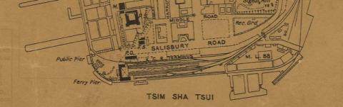
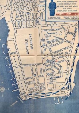
1950s TST Street Map
1952
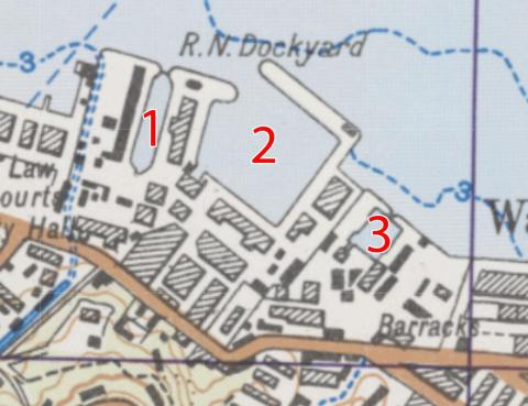
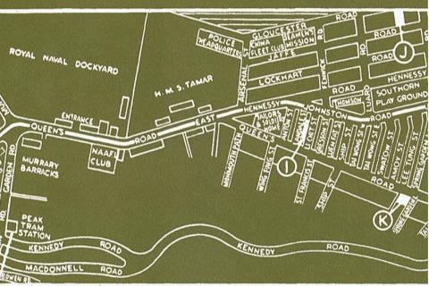
1952 map of Naval Dockyard
1952
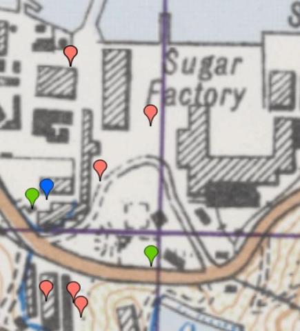
1952 map of Sugar Refinery
1954
1954 HK Tramlines - Causeway Bay to North Point
1954
1954 HK Tramlines - Central to Wanchai
1954
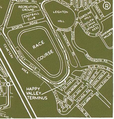
1954 HK Tramlines - Happy Valley Racecourse
Pagination
First page
« First
Previous page
‹‹
…
Page
4
Page
5
Current page
6
Page
7
Page
8
…
Next page
››
Last page
Last »