Photos tagged: map
| Year | Title |
|---|---|
| ???? | Ho Mun Tin reclamation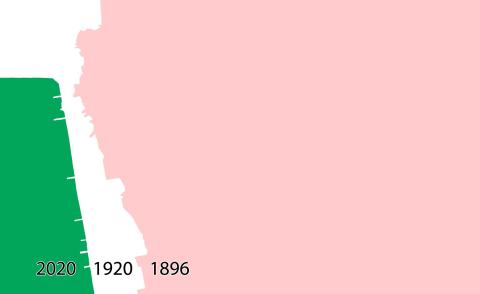
|
| ???? | Hung Hom reclamation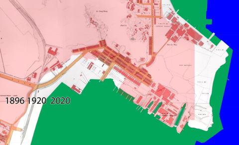
|
| ???? | Hill near Market Street / Nathan Road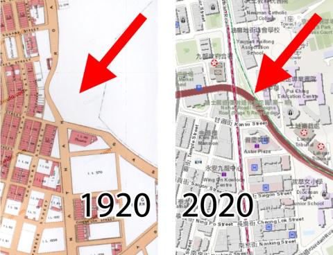
|
| ???? | DSCF5012.JPG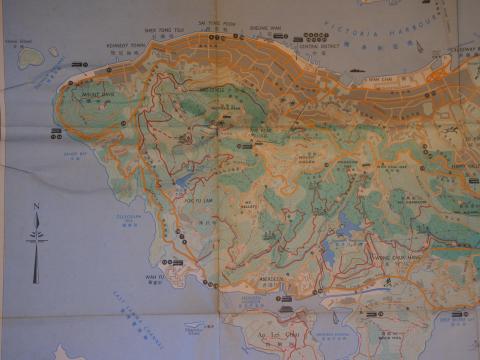
|
| ???? | taitamreservoirarea_a.jpg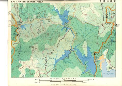
|
| ???? | aberdeenreservoirarea_a.jpg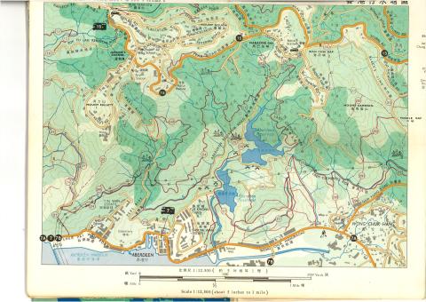
|
| ???? | thepeakarea_a.jpg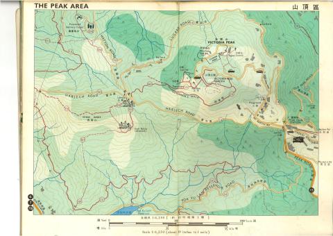
|
| ???? | hkislandNE.jpg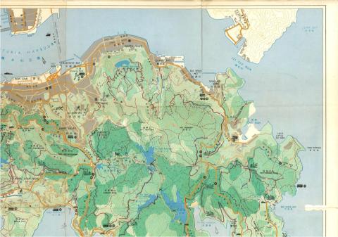
|
| ???? | hkislandNW.jpg
|
| ???? | hkislandSW.jpg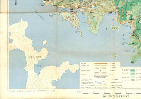
|
| ???? | hkislandSE.jpg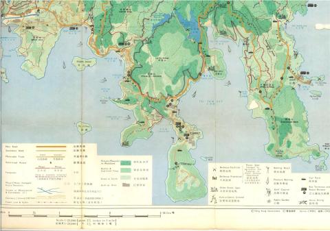
|
| ???? | Hong Kong Tramways 6 of 7.jpeg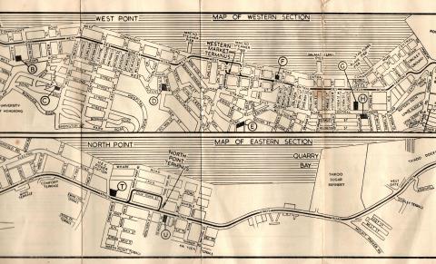
|
| ???? | Comparison of maps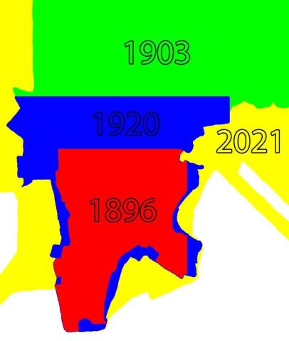
|
| ???? | Hong kong dockyard.png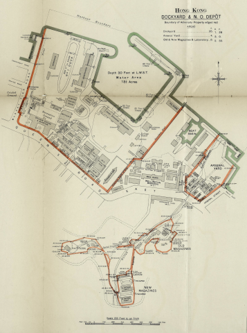
|
| ???? | R.B.L. 549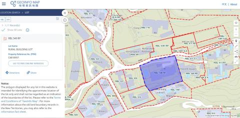
|
| ???? | DL17 boundary Stone Plan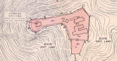
|
| ???? | Mount Davis Cemetery Obelisk map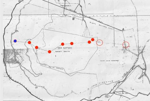
|
| ???? | YMCA Bridges Street 1922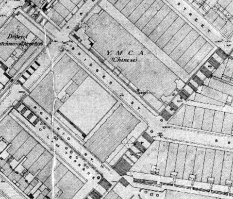
|
| ???? | 1978 map of hunghom piers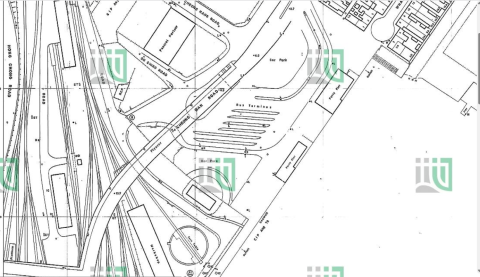
|
| ???? | Sam Ka Tsuen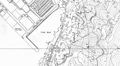
|
| ???? | Map of past sites of the Harbour Office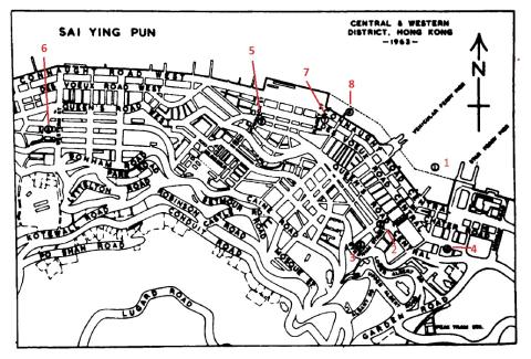
|
| ???? | kings park Cottage Resettlement Area map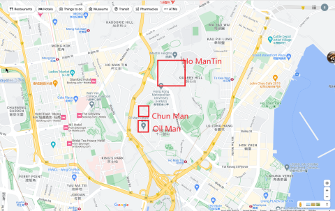
|
| ???? | Map Central Wanchai c. 2003 coloured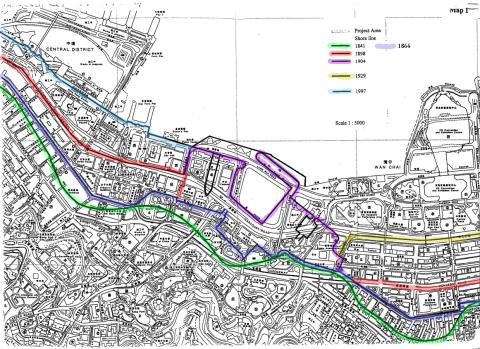
|
| ???? | 1965 tokawan map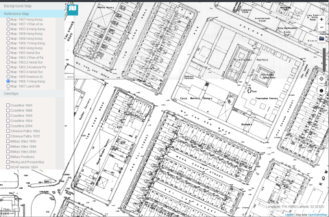
|
| ???? | Warped copy of map extract after georeferencing
|