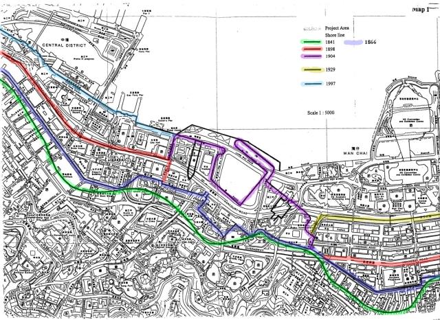
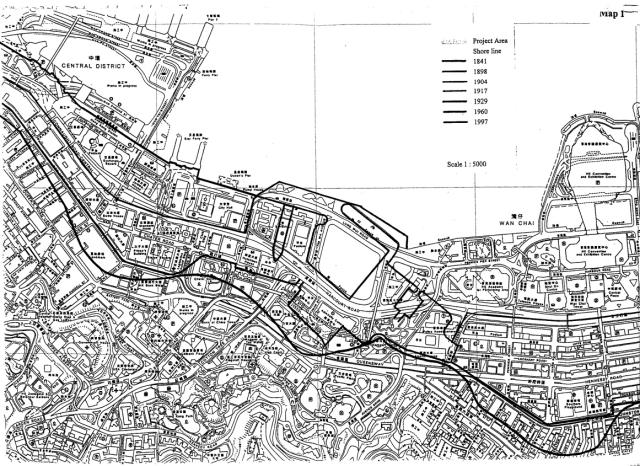
From : Central Reclamation, Phase III - Studies, Site Investigation, Design and Construction
Environmental Impact Assessment Report - Volume 2 - Appendices - (July 2001) - Appendix W
Shows several stages of reclamation, base is a map from c. 2003.
The original map on the website is in black/white only
Tried to assign colours to the different lines drawn onto the map. It looks to me as if there are errors on the original map because the coastline in 1866 is drawn, but no year assigned. Couldn't find out what was done in 1917, and also not any change between 1904 and 1960.
This, of course, is what I think is generally correct, but any proposal for correction is welcome.
Date picture taken
unknown
Gallery