Photos tagged: map
| Year | Title |
|---|---|
| 1869 | RBL 648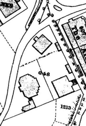
|
| 1872 | syp 1872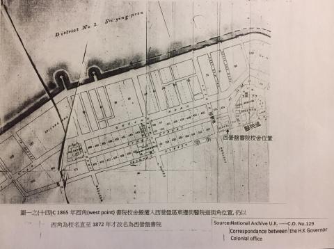
|
| 1873 | Map of the LMS compound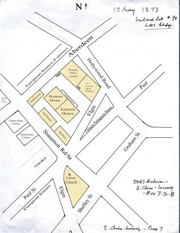
|
| 1873 | Victoria Harbour-Plan 0f 1873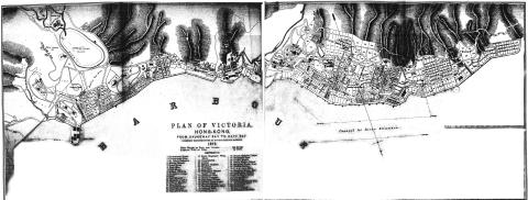
|
| 1873 | 1873 Proposed new road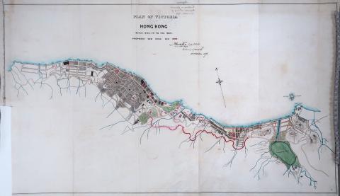
|
| 1873 | Plan of Victoria 1873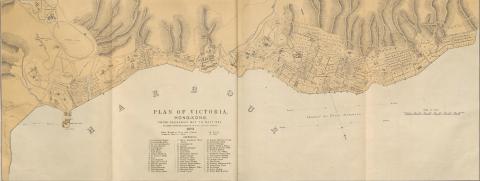
|
| c.1873 | 1873 map of Sai Ying Pun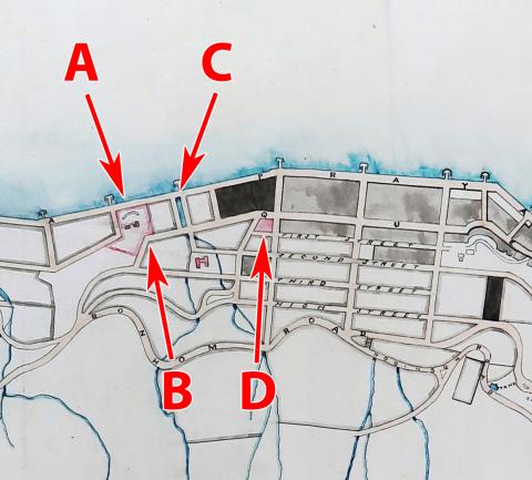
|
| c.1873 | 1873 map of Central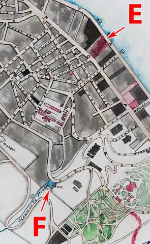
|
| c.1873 | 1873 "Brighton Hill"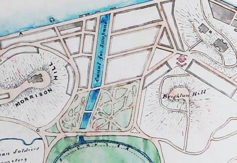
|
| c.1873 | 1873 Western district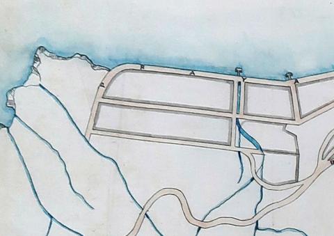
|
| c.1873 | Doubts about the 1873 map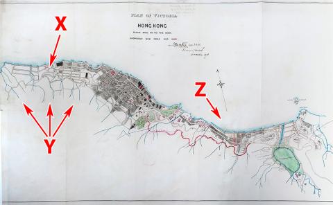
|
| c.1873 | 1873 map showing route of proposed Kennedy Road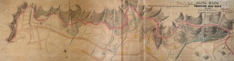
|
| c.1873 | 1873 map as overlay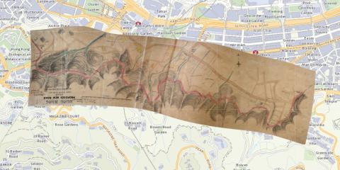
|
| 1874 | 1874 Map of Central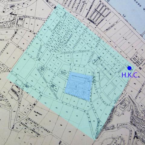
|
| 1874 | 1874 Plan of the City of Victoria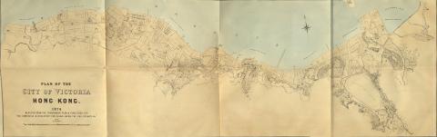
|
| 1874 | 1874 map with Pedder's Wharf (2nd gen) 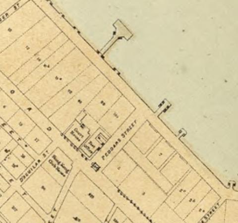
|
| 1875 | Garden Terrace - original lot numbers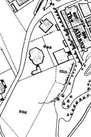
|
| 1882 | Tai Ping Shan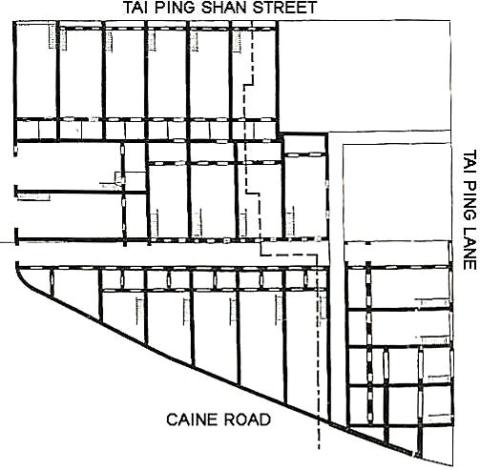
|
| 1882 | Victoria Harbour Waterfront 1882.jpeg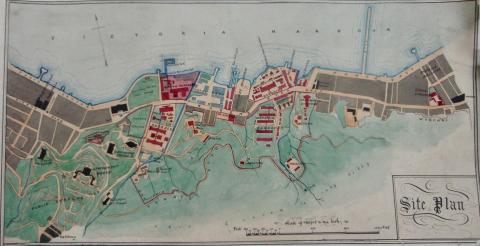
|
| 1887 | 1887 Map of Yau Ma Tei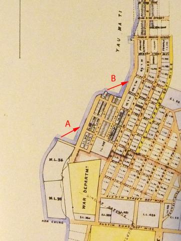
|
| 1888 | TST point. c1888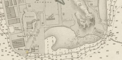
|
| 1888 | Magazine Gap map 1888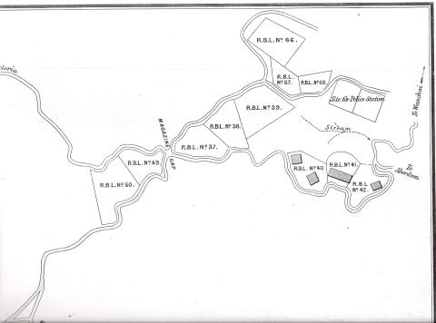
|
| 1888 | 1888 harbour chart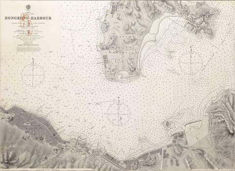
|
| 1888 | Map of Hong Kong - with British Kowloon (ca. 1888)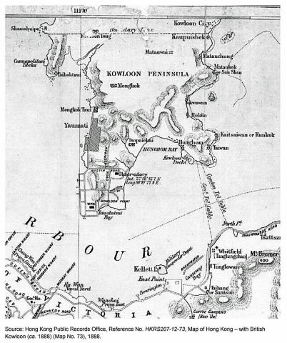
|
| 1888 | Fenwick Shipyard's boat pool 
|