Skip to main content
Menu
Menu
Home
Free newsletter
Shop
Explore
Add new...
What's new
FAQs
About
Gwulo menu for header
Show — Gwulo menu for header
Hide — Gwulo menu for header
Home
What's new
Gwulo
Old Hong Kong
Photos tagged:
sai ying poon
Primary tabs
View
Books
Events
Organisations
Pages
People
Photos
Places (map)
Places (list)
Streets (map)
Timelines
Year
Title
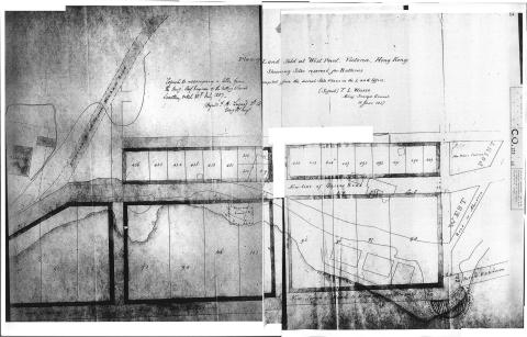
1857
1857Map copy.jpg
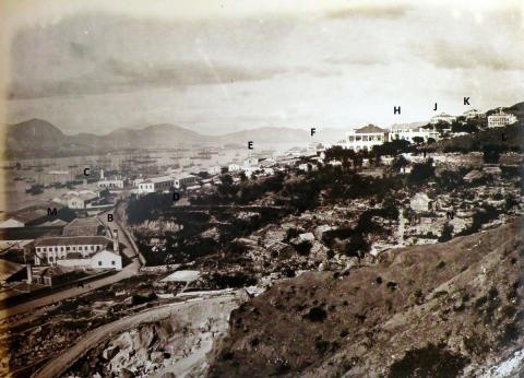
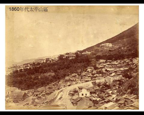
1871
Westend 1870
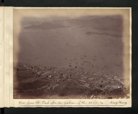
1874
Western 0333 View from the Peak 1874 Lettered.jpg
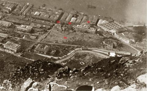
1874
1874 Detail.jpg
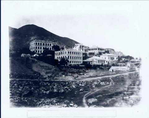
1881
Westend 1880s
1890s
Fairlea & Bonham Road looking South West
1905
Basel Mission and Isolation Hospital
1900s
Mental Asylum
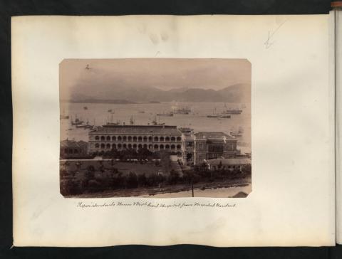
1900s
Civil Hospital & Superintendent's House
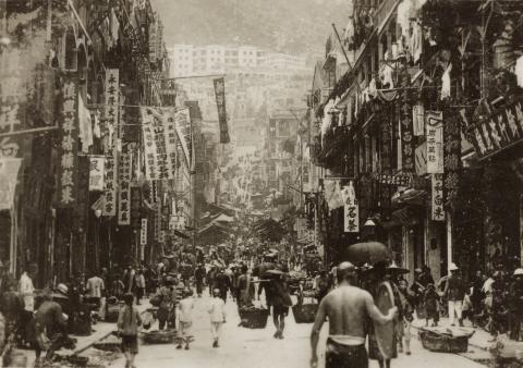
1925
Sai Ying Pun Centre Street
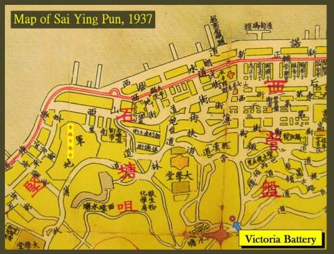
1937
Victoria Battery
1946
FullSizeRender_1.jpg
1954
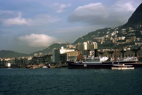
1954 Sai Ying Pun waterfront
1955
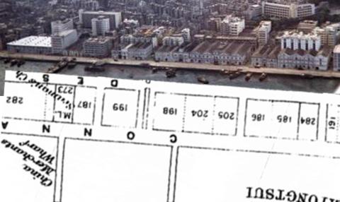
Shek Tong Tsui Godowns (1950s) and map (1905)
1958
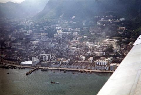
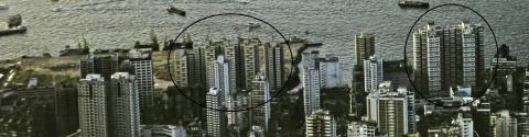
Aerial of Sai Ying Pun 1950s
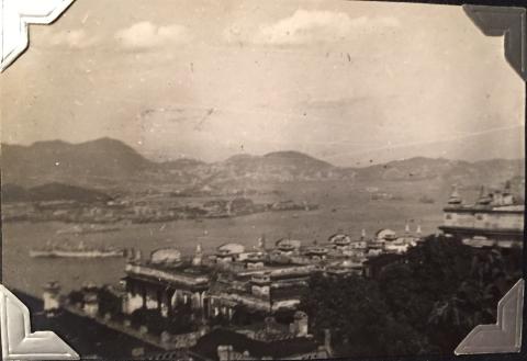
1950s
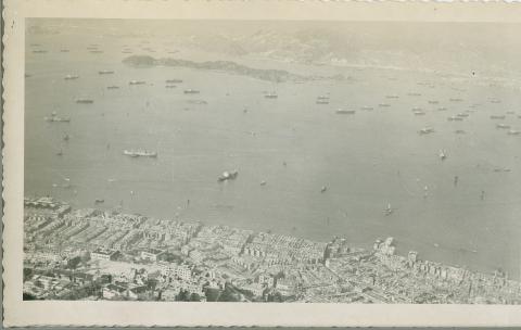
HONG KONG: 1950'S (view from the Peak 2)
1980
Kwan Yick Buildings Phase 2 and Phase 3
2015
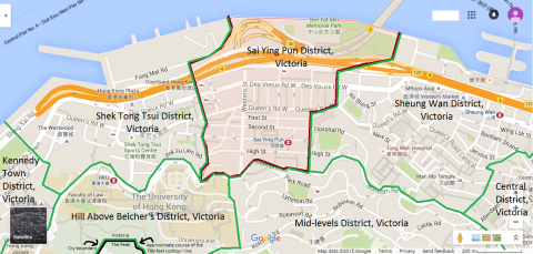
Map of Sai Ying Pun District, Victoria, Hong Kong
2016
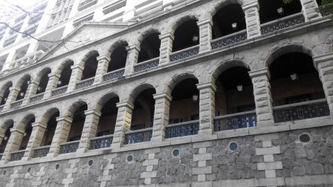
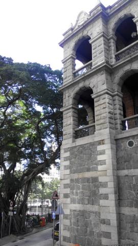
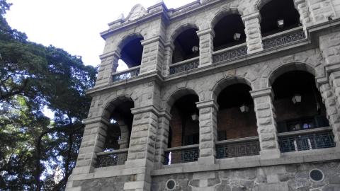
High Street facade 2016a.jpg
2016
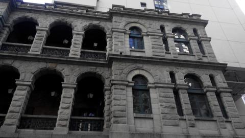
High Street facade 2016b.jpg
2016
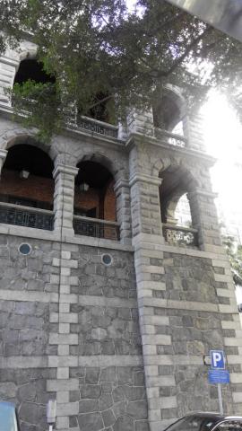
High Street facade 2016c.jpg
2016
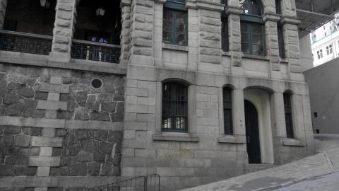
High Street facade 2016d.jpg
2016
High Street facade 2016e.jpg
2016
High Street facade 2016f.jpg
2016
High Street facade 2016g.jpg
2016
High Street facade 2016h.jpg
2018
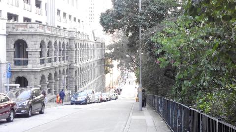
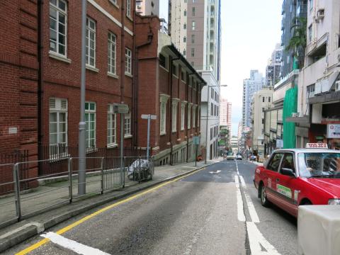
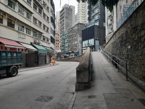
Centre Street.JPG
2018
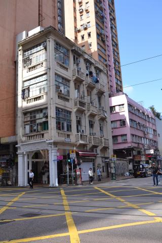
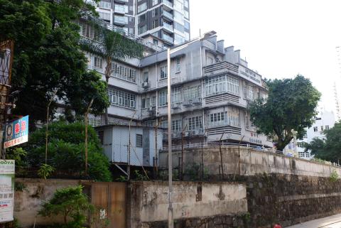
Grade 2 historic building.JPG
2010s
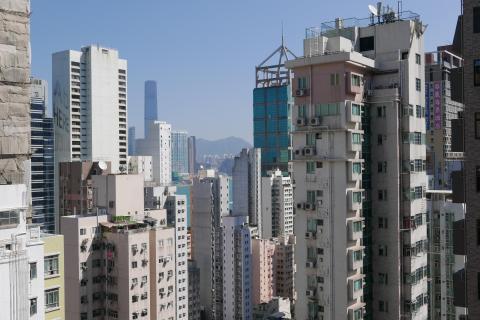
View of Sai Ying Pun
2010s
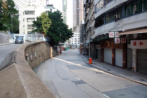
Western Street
2010s
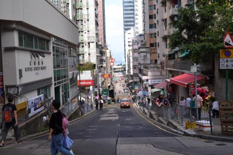
Queen's Road West and 雀仔橋
????
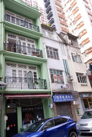
Old buildings at High Street, Sai Ying Pun
????
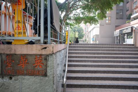
Ying Wah Terrace
????
Ling Yuet Sin Canossian Kindergarten
????
Queen's Road West and 雀仔橋