Skip to main content
Menu
Menu
Home
Free newsletter
Shop
Explore
Add new...
What's new
FAQs
About
Gwulo menu for header
Show — Gwulo menu for header
Hide — Gwulo menu for header
Home
What's new
Gwulo
Old Hong Kong
Photos tagged:
aerial photographs
Primary tabs
View
Books
Events
Organisations
Pages
People
Photos
Places (map)
Places (list)
Streets (map)
Timelines
Items per page
25
100
- All -
Year
Title
1983
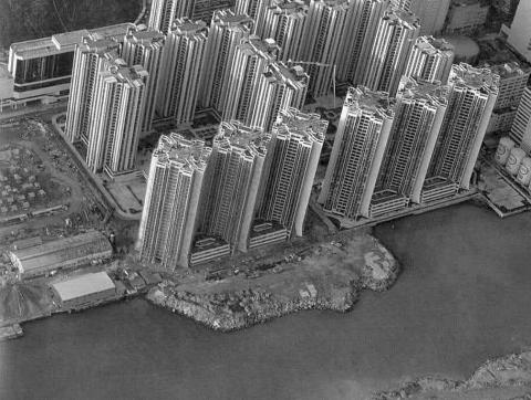
Early_Taikooshing_c1983
1983
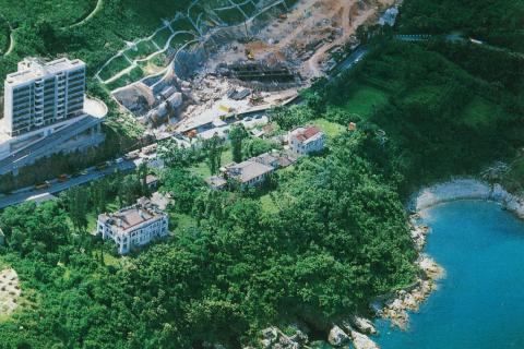
Tai Tam Villas
1985
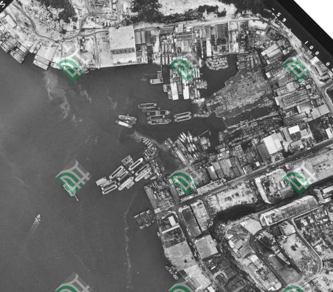
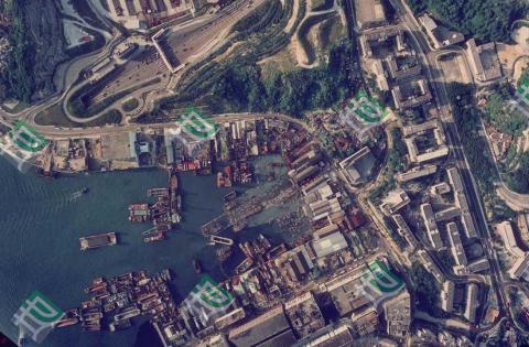
Yau Tong Bay Aerial View 1985
1985
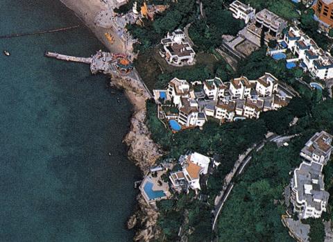
Repulse Bay-Breakfast by the pool, Sir?
1985
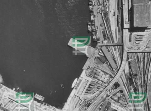
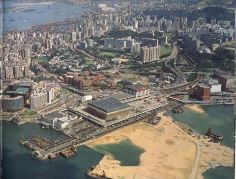
Hung Hom aerial view 1985-10-03
1985
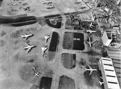
1980s Kai Tak Airport and HAECO
1985
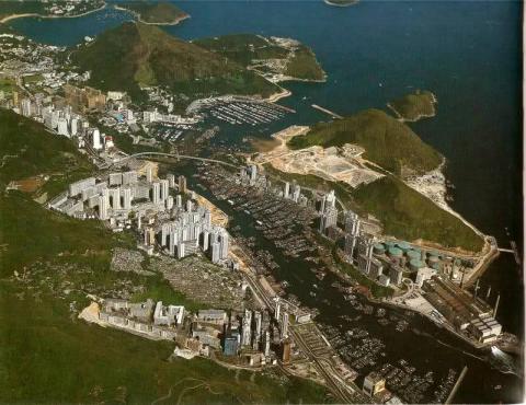
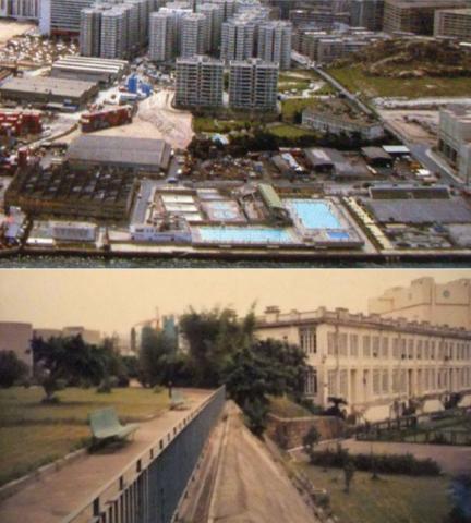
Aerial view of Aberdeen mid 1980s
1986
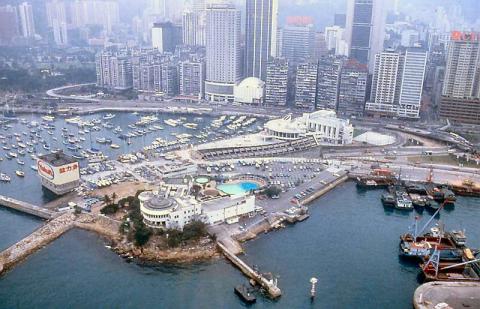
1986 - helicopter view of Yacht Club
1986
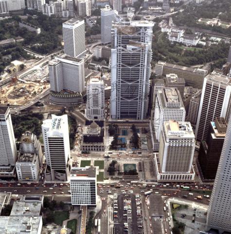
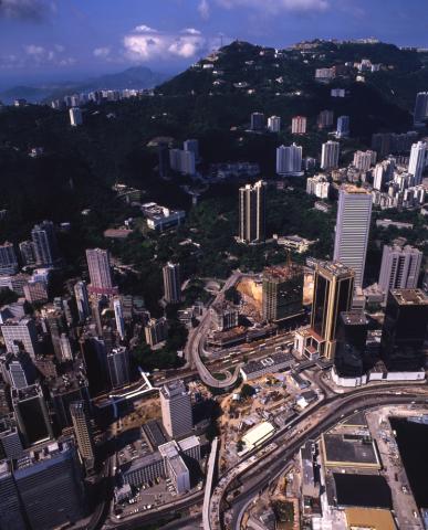
A bird's eye view of high rise development around Statue Square = 從高處俯瞰皇后像廣場一帶的發展1986
1986
HUD_Expatriate_Staff_Quarters_in_Whampoa
1986
Quarry Bay Gas Holder 1980's
1986
1985 Hung Hom aerial view
1987
Aerial view of pacific place under Construction
1988
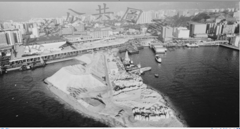
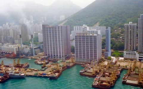
Hung Hom peninsula & Piers
1988
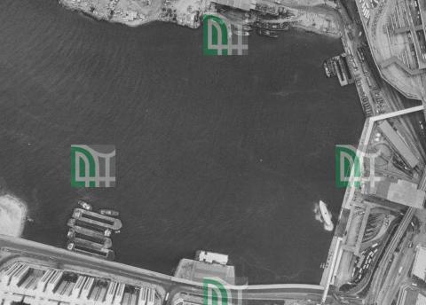
1988 hunghom air view.png
1989
Hung Hom aerial view 1989-02-03
1989
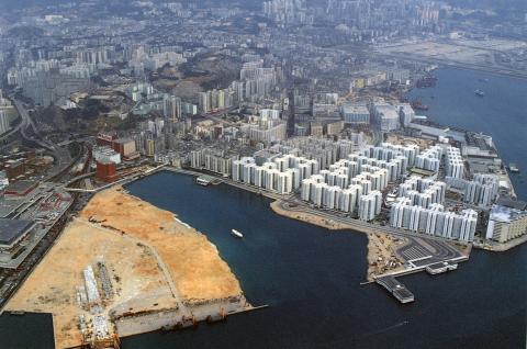
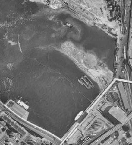
Hung Hom Reclamation July 1989
1989
Hung Hom aerial view 1989-08-16
1989
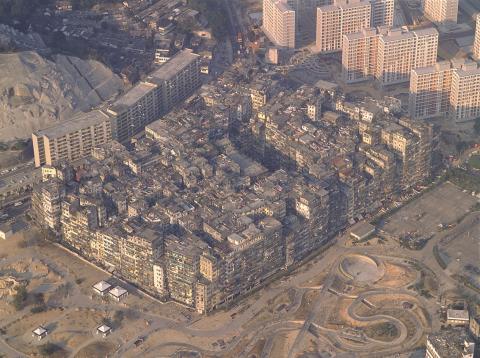
Kowloon Walled City - aerial view
1989
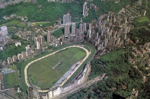
1980s Happy Valley Aerial View
1980s
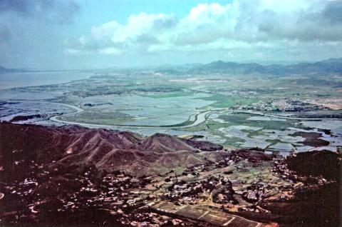
Border wetlands- river is the HK- China boundary
1980s
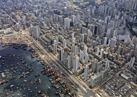
Yau Ma Tei and Mongkok aerial
1980s
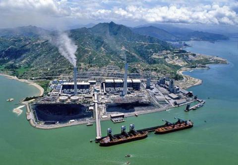
Castle Peak power station site
1991
Kennedy Town from the air
1992
Yau Tong Bay Aerial View 1992
Pagination
First page
« First
Previous page
‹‹
…
Page
16
Page
17
Page
18
Page
19
Page
20
Next page
››
Last page
Last »