The following images were taken by Tony Hawes in (most likely) July 1979. They are taken from the cockpit. He wrote me that he wasn’t stationed in Hong Kong, but visited this city twice – in 1963 and 1979. The images are in the order he remembers.
Updated version 2016-08-21
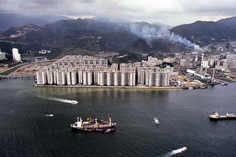
This one is already at the Kowloon Peninsula showing Mei Foo Sun Chuen housing estate and the Lai Chi Kok municipal incinerator. Flight direction is south-east.
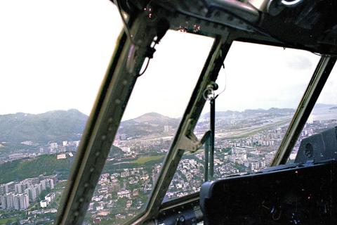
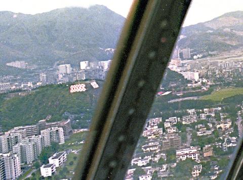
After a slight turn left to east a small hill approaches with the famous “Checkerboard”. This is a visual marker for the final approach towards runway 13.
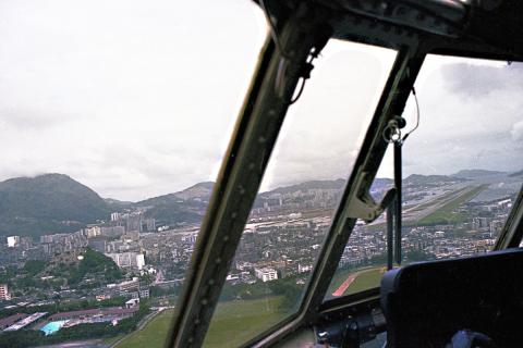
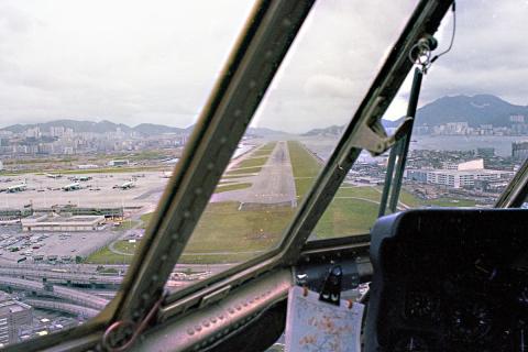
Upon reaching that marker the pilot had to make a 47° manual right turn to get in line with the runway.
Done! ("You have reached your final parking position.")
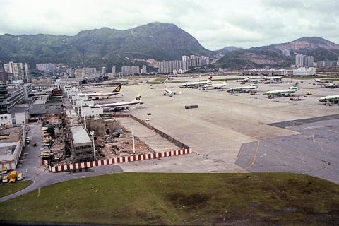
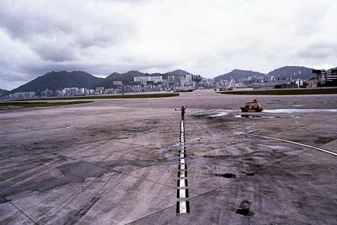
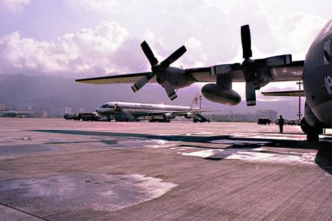
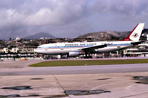
Next are some images taken when parked on Kai Tak’s dispersal area:
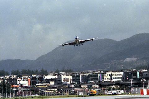
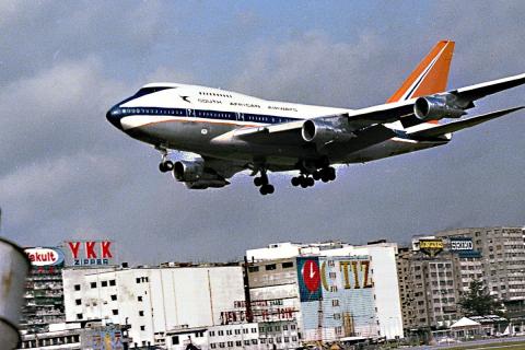
Landing jets, most spectacular with B 747's.
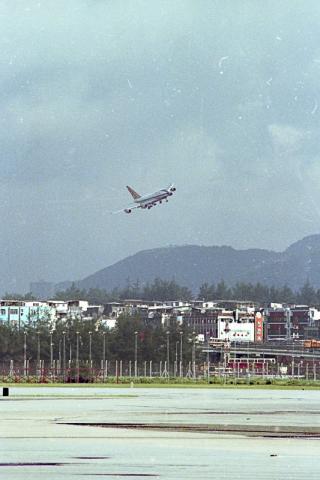
Time for departure. Flying over Victoria Harbour along Hong Kong Island.
Next is a similar one, but possibly not from 1979.
The last two images show Cheung Chau Island.
All images are uploaded by kind permission from Tony Hawes.
P.S. A video of the approach to Kai Tak can be seen here (https://www.youtube.com/watch?v=Iqnit5PXZIo). It’s a Swissair image film from the 1970s in German language with English subtitles. The approach to Hong Kong starts at 5:40 min. Excellent views over Hong Kong!
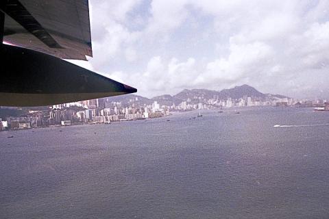
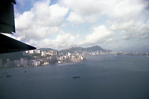
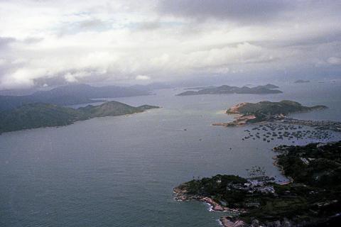
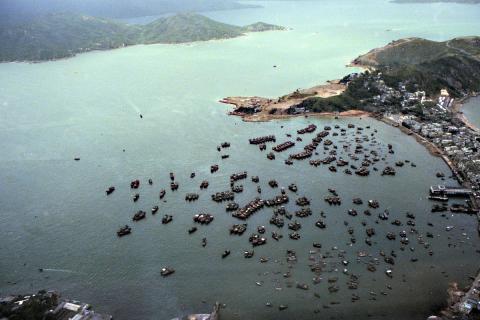
Photos of Cheung Chau
Nice shots of Cheung Chau. Similar to the Swissair video,I guess the shots of Cheung Chau would have been on arrival to Kai Tak. Photo (5) shows the approach chart via Cheung Chau.
Thanks to Tony for these, and
Thanks to Tony for these, and to Klaus for bringing them here for us to see.
For any pilots reading, did you do the turn into Kai Tak often enough that it became routine, or was there still a bit of nerves making this approach? I imagine the sight of the runway straight ahead in photo (5) must have been good to see.
Regards, David
Kai Tak pix
Great pix Tony take a bow !