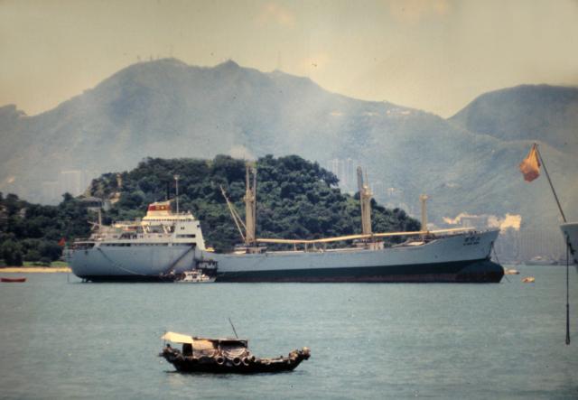
I believe that this photograph shows Stonecutters Island from the North and the Peak from a not very familiar direction, but any suggestons? The masts on the far mountain top might be a clue. I think that both the military and civilian authorities had masts up on the Peak.
Date picture taken
30 Jul 1981
Gallery
Shows place(s)

Comments
Ship Moored Off Stonecutters
Yes, you are correct with your locations. From left to right, the distant ridgeline is of Victoria Gap, Victoria Peak, the gap in which Lugard and Harlech Roads meet (don't know its name), and High West.
Thanks. I'm relying on you
Thanks. I'm relying on you and others to keep me straight! Andrew