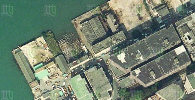
This is a screenshot of the satellite view from the HK Government's GeoInfo map. The name "Yau Wing" is clear to see on the roof of the shipyard buildings.
Fortunately, the GeoInfo site's satellite data is a bit out of date. The Google satellite view shows the buildings have already been demolished and removed.
I've set the date of the photo to 2010, but it's just a guess.
Date picture taken
2010s
Gallery
Shows place(s)
