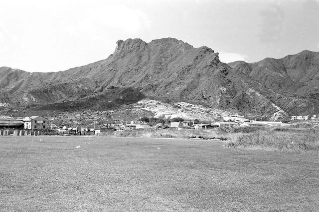
Shows the northern boundary of Kai Tak near today's Wong Tai Sin/Diamond Hill. Barbed wire on the right. Squatter huts have been removed from the hillside making the area appear to be barren. The Japanese Operations Building-cum-Control Tower is also not in view.
Pre-prepartion for the construction of Lung Cheung Road ? Thinking 1959 which also ties in with the likely year of removal of the Japanese building.
Comments
Re: Photo
I have seen this photo before.
Shows the northern boundary of Kai Tak near today's Wong Tai Sin/Diamond Hill. Barbed wire on the right. Squatter huts have been removed from the hillside making the area appear to be barren. The Japanese Operations Building-cum-Control Tower is also not in view.
Pre-prepartion for the construction of Lung Cheung Road ? Thinking 1959 which also ties in with the likely year of removal of the Japanese building.