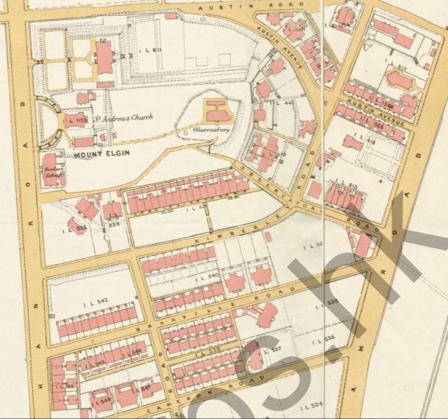
The map is cropped from the 1920 Map of the Kowloon Peninsula available on https://www.hkmaps.hk/viewer.html It shows the Kowloon Inland Lot (K. I. L.) numbers and building layouts for the area east of Nathan Road between Austin and Cameron Roads.
Date picture taken
1920
Gallery
Shows place(s)

Comments
You can also see the 1920 map…
You can also see the 1920 map here on Gwulo:
https://gwulo.com/map-of-places#18~22.30162~114.17333~Map_by_GovHK-Mark…