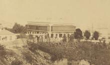
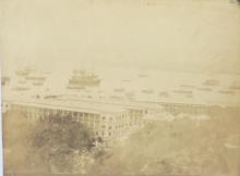
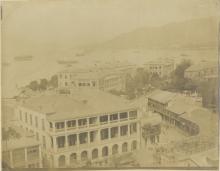
After the end of WW2, the military and naval premises were repaired from war damages and used further on. Mainly on Hong Kong Island, these areas were situated right in the centre of the developing city. Any expansion to the east was impeded by these areas, mainly in the aspect of traffic (i.e. motor vehicles). <Read more ...>
Date picture taken (to nearest decade for older photos):
1959
The map shows the “New Road Reserve”. It’s from the OFFICIAL REPORT OF PROCEEDINGS. Meeting of 7th October, 1959. Unfortunately, the map is shown only for the western part, so the eastern one is added from the 1957 Gwulo map (including a hand-drawn estimated road course). <Read more ...>
This photo from end of 1960/early 1961 shows the construction of Harcourt Road. The reclamation of a part of the Boal Pool has been finished, the same applies to Gloucester Road behind the Wanchai Police Headquarters. The new wall around the area that the Admiralty will still use has been built already. <Read more ...>
Date picture taken (to nearest decade for older photos):