Photos tagged: map
| Year | Title |
|---|---|
| 2020 | List of Lights Hong Kong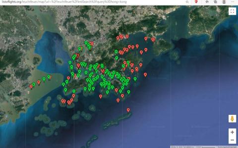
|
| 2021 | The water tunnel inlet above the lower Shing Mun reservoir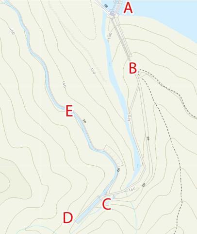
|
| 2021 | Gwulo-A623-Modern-map-crop.jpg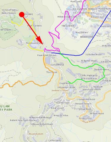
|
| 2021 | Gwulo-map-of-Pokfulam-siphons.crop_.old+new-conduit.jpg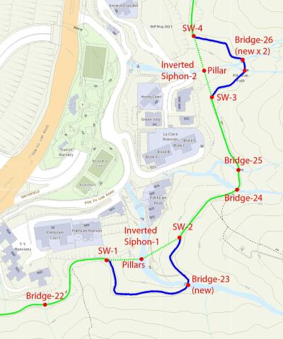
|
| 2021 | 2021 Ma Tau Chung's lost hills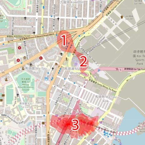
|
| 2025 | CCIL 44, 46, 47 on map
|
| 2020s | Map of Wong Chuk Shan boulder trackway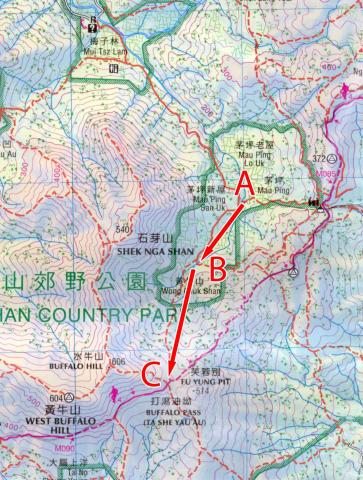
|
| 2020s | 1889-map-overlaid-Pokfulam-conduit.jpg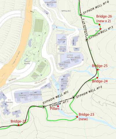
|
| ???? | Map of Tai Tam Bay (crop)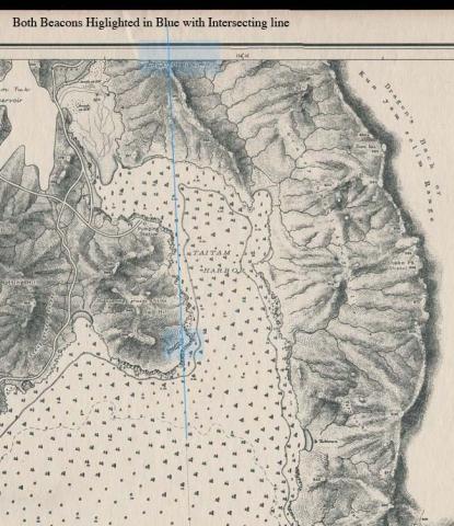
|
| ???? | Map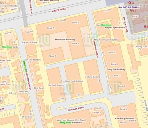
|
| ???? | 8216258376_709022a9b1_o.jpg
|
| ???? | Tai Tam (War Office Hong Kong Map)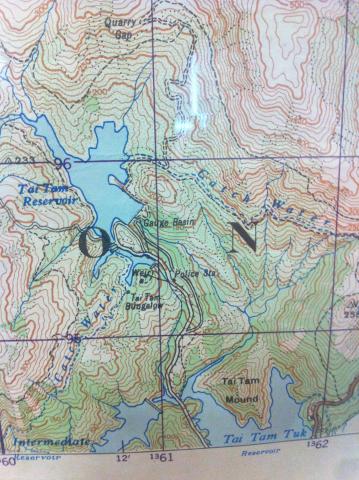
|
| ???? | David's view.jpg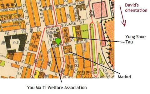
|
| ???? | Kam Kwok 金國 map.jpg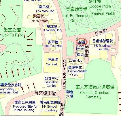
|
| ???? | Location of North Point Bty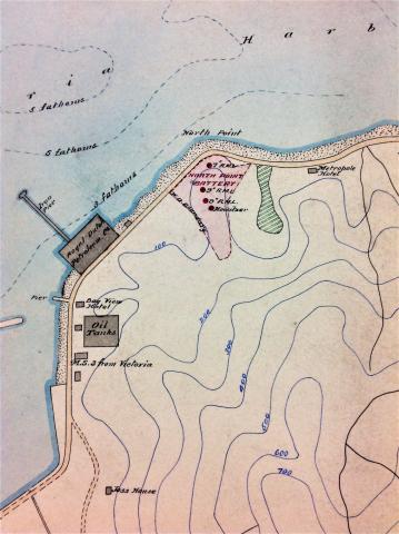
|
| ???? | 1952.jpg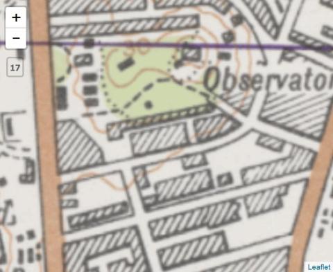
|
| ???? | cape_collinson_military_cemetery.jpg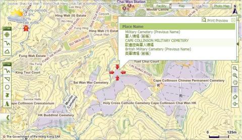
|
| ???? | Tutorial 01
|
| ???? | Tutorial 02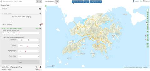
|
| ???? | Tutorial 3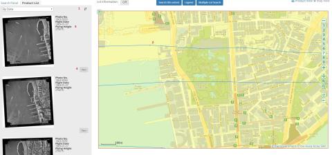
|
| ???? | Tutorial 04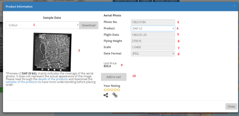
|
| ???? | Tutorial 05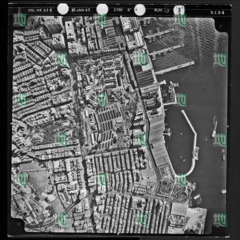
|
| ???? | Zoom 15
|
| ???? | Reclamation in TST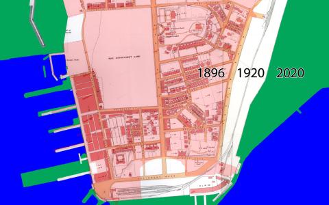
|
| ???? | Yau Ma Tei reclamation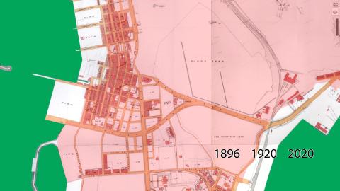
|