Skip to main content
Menu
Menu
Home
Free newsletter
Shop
Explore
Add new...
What's new
FAQs
About
Gwulo menu for header
Show — Gwulo menu for header
Hide — Gwulo menu for header
Home
What's new
Gwulo
Old Hong Kong
Cart Flyout
Photos tagged:
map
Primary tabs
View
Books
Events
Organisations
Pages
People
Photos
(active tab)
Places (map)
Places (list)
Streets (map)
Timelines
Items per page
25
100
- All -
Year
Title
Sort ascending
????
Tutorial 04
????
Tutorial 02
????
Tutorial 01
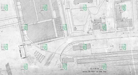
1925
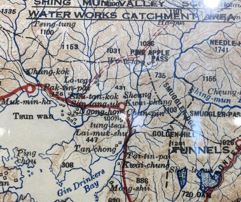
Tunnels Kowloon 1925
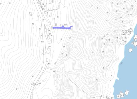
2016
Tunnel above Siu Sai Wan
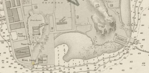
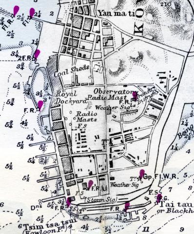
1888
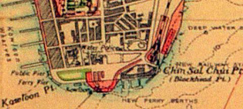
TST point. c1888
1960
TST map 1960_febr_detail
1922
TST map 1922_KCR
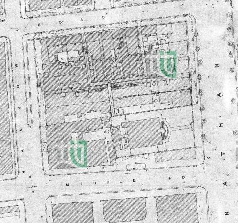
1922
TST map 1922_detail
1960s
TST lights
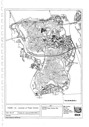
1997
tsing yi power station map
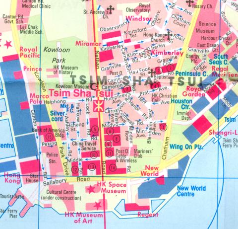
1981
Tsim Sha Tsui.jpg
1940
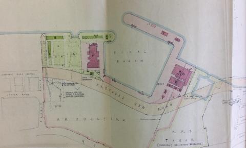
Tsim Sha Tsui-Kowloon Point-development proposal-1940
1845
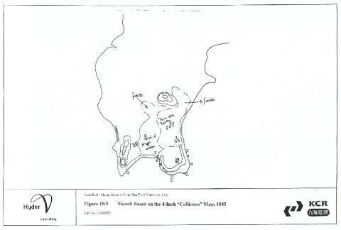
Tsim Sha Tsui sketch based on 1845 Collinson map
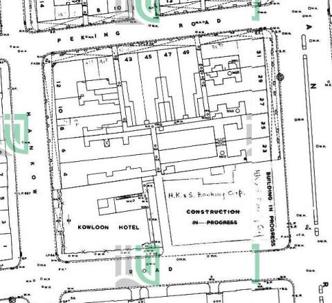
1901
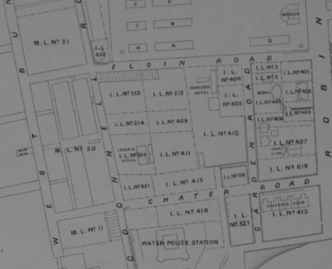
Tsim Sha Tsui Map 1901
1980s
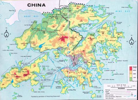
Transport Map 1980
????
thepeakarea_a.jpg
2021
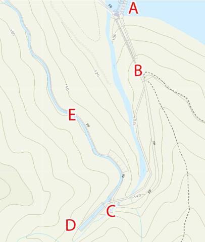
The water tunnel inlet above the lower Shing Mun reservoir
2015
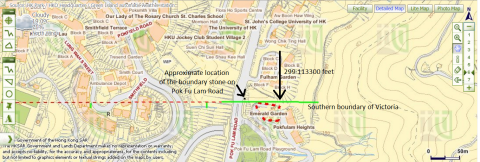
The University of Hong Kong's St John's College and Victoria's southern boundary
1924
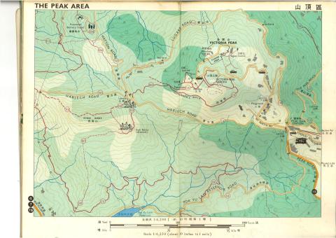
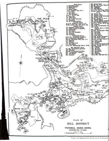
The Peak - Map 1924 (2 of 2)
1924
The Peak - Map 1924 (1 of 2)
????
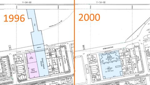
The Manhattan Heights' development in year 2000.
1958
Tamar.jpeg
????
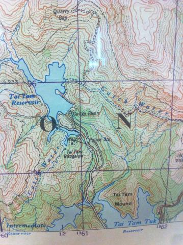
Tai Tam (War Office Hong Kong Map)
1945
Tai Po Bridge map.png
Pagination
First page
« First
Previous page
‹‹
Page
1
Current page
2
Page
3
Page
4
Page
5
…
Next page
››
Last page
Last »