Skip to main content
Menu
Menu
Home
Free newsletter
Shop
Explore
Add new...
What's new
FAQs
About
Gwulo menu for header
Show — Gwulo menu for header
Hide — Gwulo menu for header
Home
What's new
Gwulo
Old Hong Kong
Cart Flyout
Photos tagged:
map
Primary tabs
View
Books
Events
Organisations
Pages
People
Photos
(active tab)
Places (map)
Places (list)
Streets (map)
Timelines
Items per page
25
100
- All -
Year
Title
Sort descending
1855
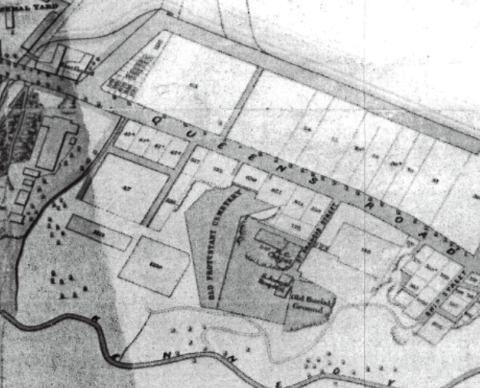
Mid 1800s Wanchai Map
2017
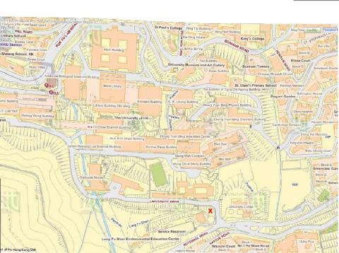
Modern map of HKU area
1942
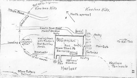
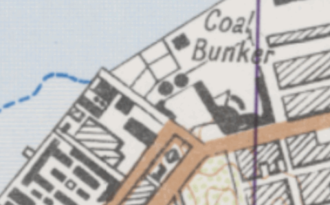
Morley's map of SSPo.jpg
1960s
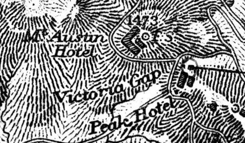
Mount Austin Hotel
1930
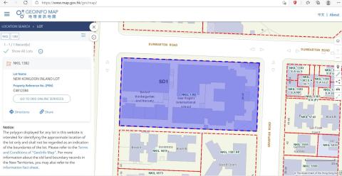
N.K.I.L. 1382
1925
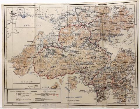
New Territories 1925
1960s
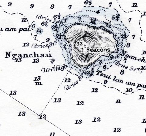
Nganchau
1952
North Point 1952
1980s
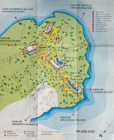
Ocean Park Map Headland (1980).jpg
1980s
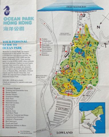
Ocean Park Map Lowland (1980).jpg
1956
Peak Map
1891
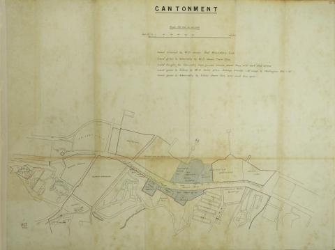
Plan of Hong Kong Cantonment
1892
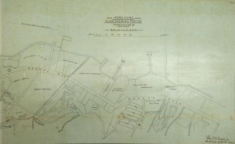
Plan of Hong Kong Foreshore
1900
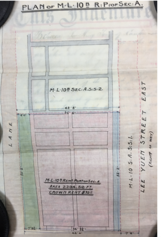
Plan of ML 10B Remaining Portion Section A
1864
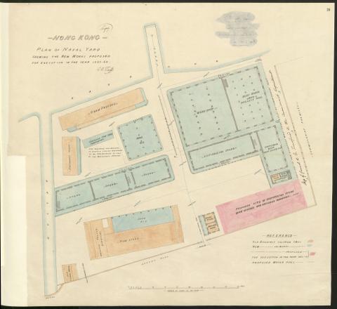
Plan of Naval Dockyard 1863-64
1895
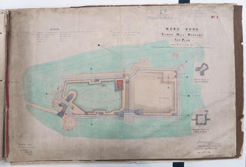
Plan of Saiwan Redoubt
1911
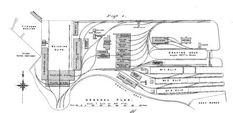
Plan of Taikoo Dockyard
1905
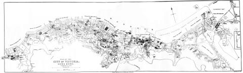
Plan of the CITY OF VICTORIA 1905
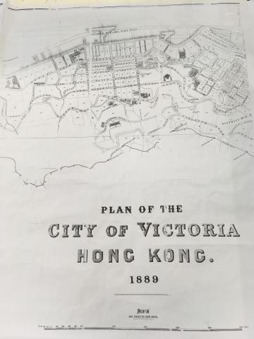
1889
Plan of the City of Victoria Hong Kong.jpg
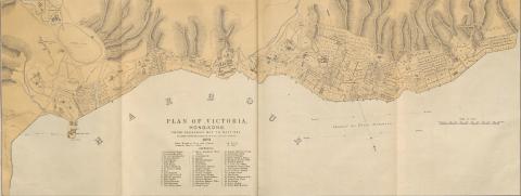
1873
Plan of Victoria 1873
1861
Plan of Victoria Military Facilities
1980s
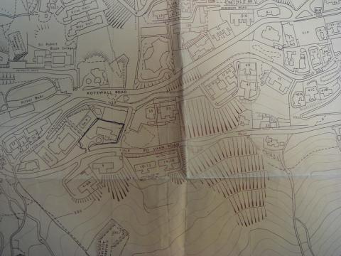
Po Shan Road 1980.JPG
1924
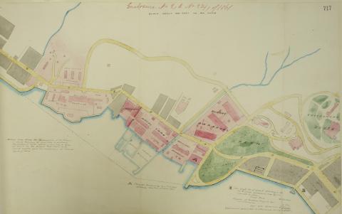
Port development
1920s
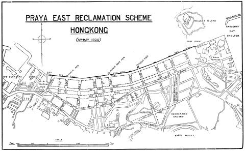
Praya-East-Reclamation-1920s.jpg
c.1998
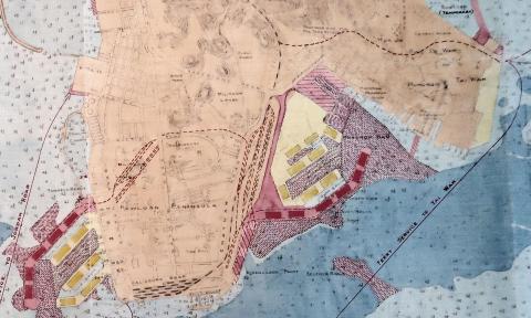
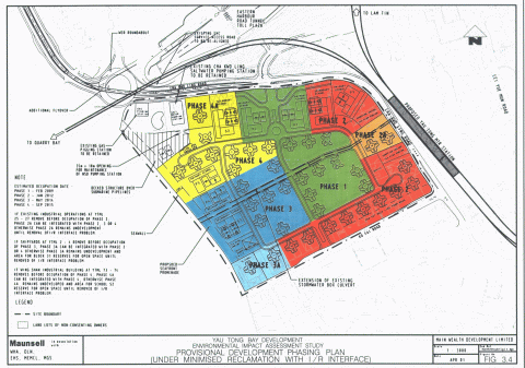
Proposal for the Yau Tong Bay reclamation 1998
Pagination
First page
« First
Previous page
‹‹
…
Page
15
Page
16
Current page
17
Page
18
Page
19
…
Next page
››
Last page
Last »