Skip to main content
Menu
Menu
Home
Free newsletter
Shop
Explore
Add new...
What's new
FAQs
About
Gwulo menu for header
Show — Gwulo menu for header
Hide — Gwulo menu for header
Home
What's new
Gwulo
Old Hong Kong
Cart Flyout
Photos tagged:
aerial photographs
Primary tabs
View
Books
Events
Organisations
Pages
People
Photos
(active tab)
Places (map)
Places (list)
Streets (map)
Timelines
Items per page
25
100
- All -
Year
Title
Sort descending
1973
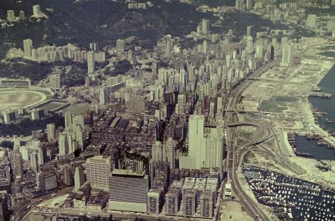
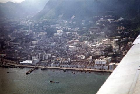
1973 Wanchai view from the air
1973
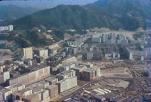
1973-02-20 hunghom air view.png
1973
1973-10-23 hunghom air view.png
1970s
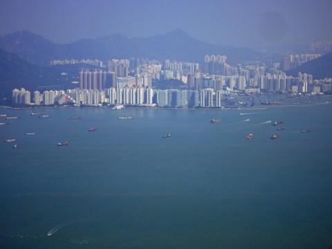
1975 shatin air view
1979
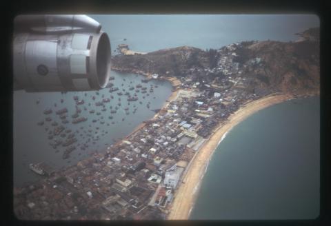
1979 - flying into Kai Tak Airport
1979
1979 - flying into Kai Tak Airport
1985
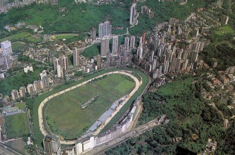
1980s Happy Valley Aerial View
1985
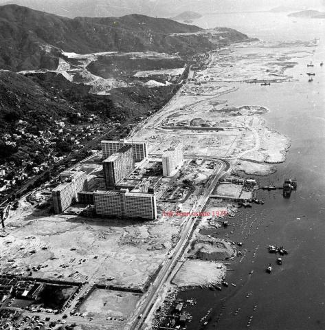
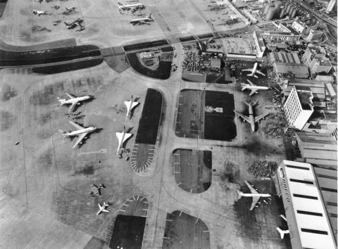
1980s Kai Tak Airport and HAECO
1981
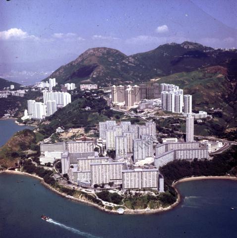
1981 Wah Fu, Hong Kong's largest public estate
1982
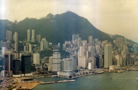
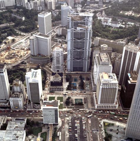
1982 Aerial View of Central
1982
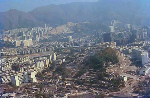
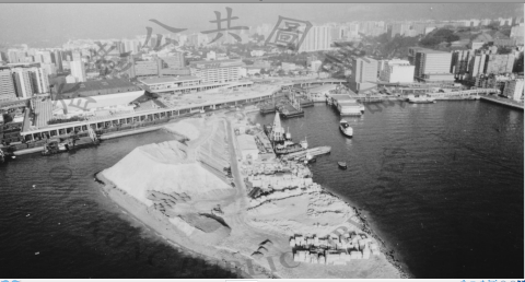
1982 air view hung hom
1986
1985 Hung Hom aerial view
1986
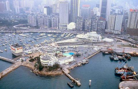
1986 - helicopter view of Yacht Club
1988
1988 hunghom air view.png
2010
2010 Lei Yue Mun Ferry Pier (Sam Ka Tsuen)
2017
2017 - Leaving Hong Kong (Tuen Mun)
1969
33_09 a HKG island Panam flight SGN-HKG Mar 69 CC NDB Approach.jpg
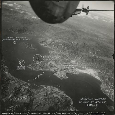
1944
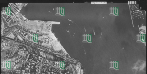
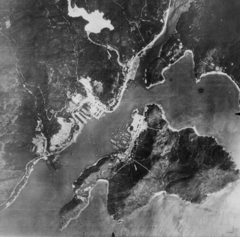
53-112(4)
1924
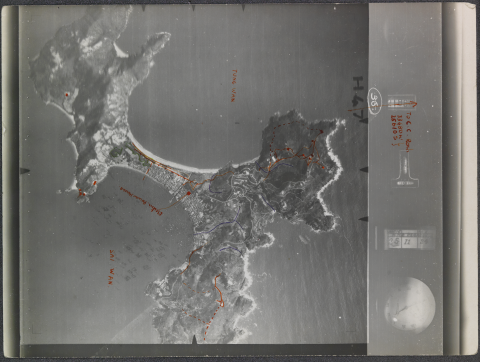
94 years old HIGH-Resolution areal picture of Cheung Chau from 25 November 1924
1986
A bird's eye view of high rise development around Statue Square = 從高處俯瞰皇后像廣場一帶的發展1986
1924
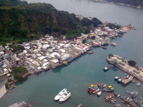
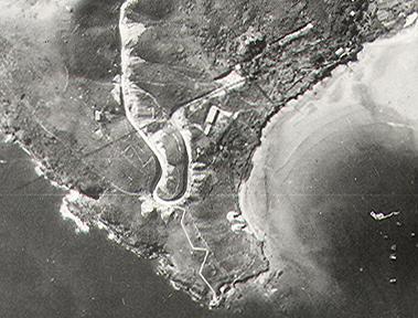
Aberdeen aerial view 1924
1949
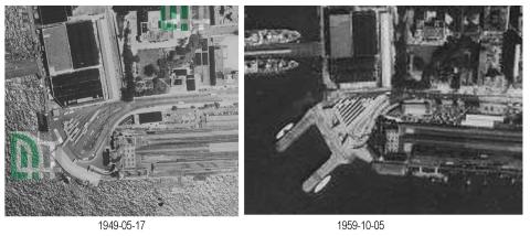
Access to Star Ferry 1949/1959
1958
Aerial of Sai Ying Pun 1950s
1945
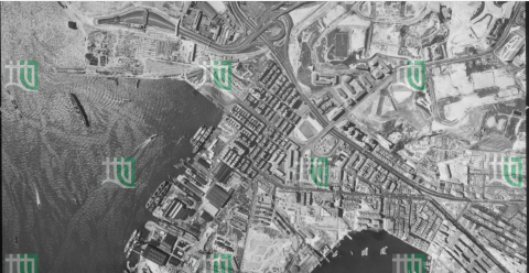
aerial photo 1945 part
1930s
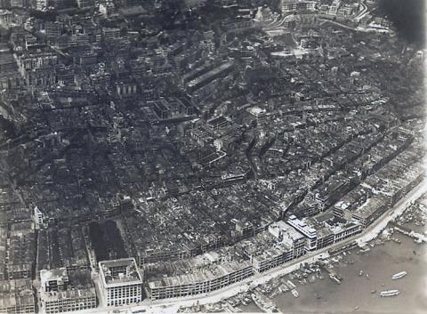
Aerial photo of Central and Sheung Wan 1930s
Pagination
First page
« First
Previous page
‹‹
…
Page
3
Page
4
Current page
5
Page
6
Page
7
…
Next page
››
Last page
Last »