Skip to main content
Menu
Menu
Home
Free newsletter
Shop
Explore
Add new...
What's new
FAQs
About
Gwulo menu for header
Show — Gwulo menu for header
Hide — Gwulo menu for header
Home
What's new
Gwulo
Old Hong Kong
Photos tagged:
aerial photographs
Primary tabs
View
Books
Events
Organisations
Pages
People
Photos
Places (map)
Places (list)
Streets (map)
Timelines
Items per page
25
100
- All -
Year
Title
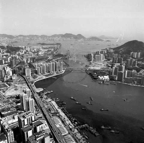
1989
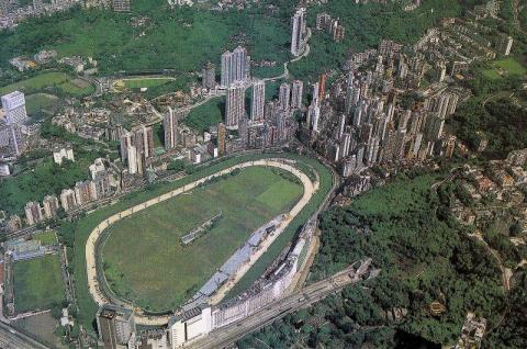
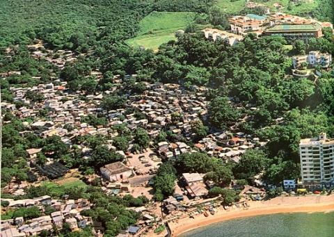
1980s Happy Valley Aerial View
1980s
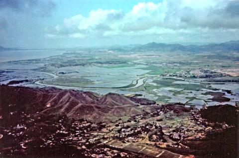
Border wetlands- river is the HK- China boundary
1980s
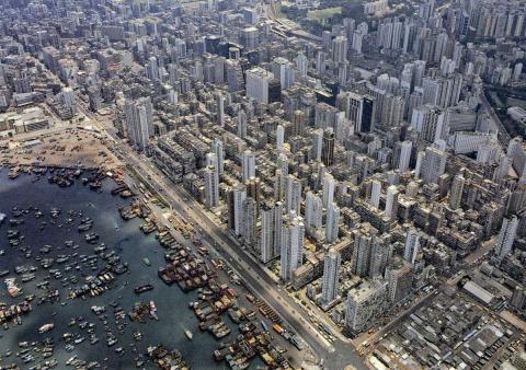
Yau Ma Tei and Mongkok aerial
1980s
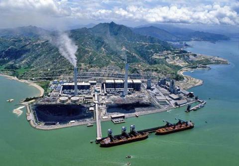
Castle Peak power station site
c.1990
1990 - aerial view of the Chek Chue Tin Hau Temple & surrounds
1991
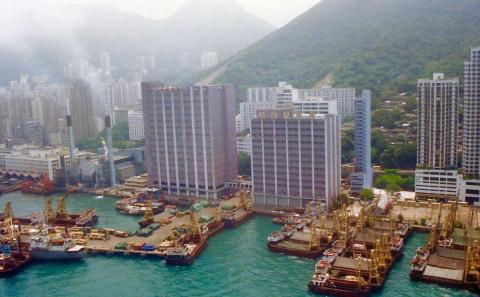
Kennedy Town from the air
1992
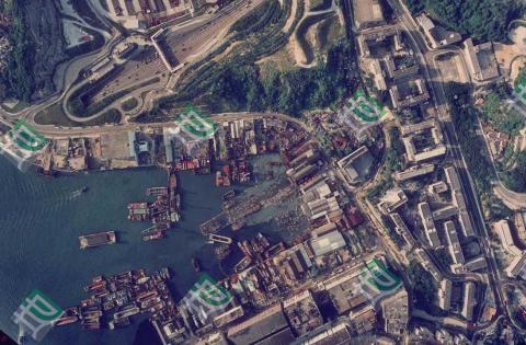
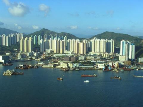
Yau Tong Bay Aerial View 1992
1992
macintosh small92 heli posts j a0693
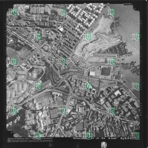
1994
Hung Hom aerial view 1994
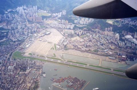
1998
Hong-Kong Kai-Tak airport
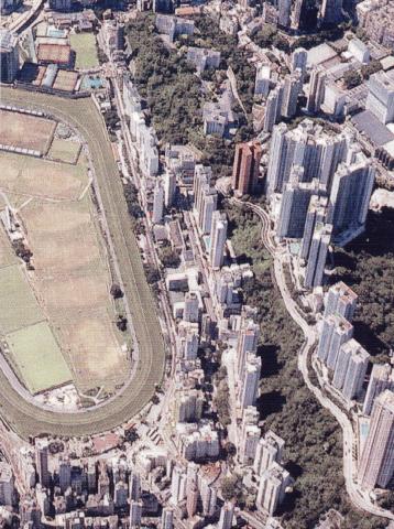
1998
Broadwood Road late nineties.jpg
1990s
Aerial View of Tsuen Wan and Tsing Yi = 荃灣和青衣空中景觀 1990
1990s
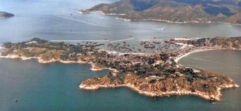
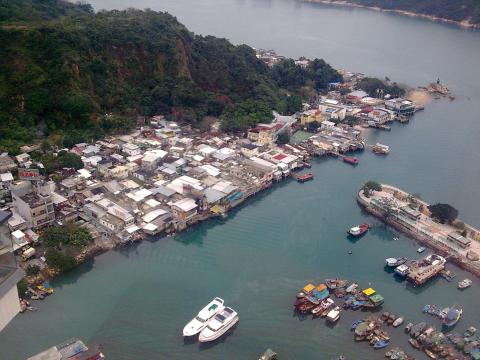
Cheung Chau island looking west
1990s
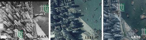
Green Island Cement Pier Demolition 1997/98
2000
Ju52-passing-Tuen-Mun-Butterfly Estates
2000
Junction of Severn & Plantation Roads 2000
2006
Yau Tong view from the harbour
2006
Junction of Severn & Plantation Roads 2006
2007
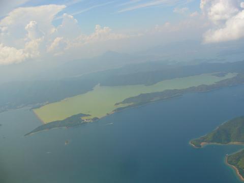
Plover Cove Reservoir from a plane
2008
Kai Tak airport area
c.2008
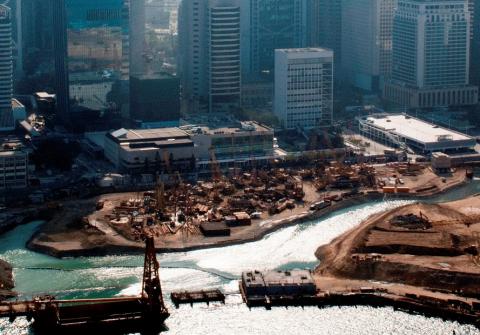
Reclamation in front of City Hall
2010
2010 Lei Yue Mun Ferry Pier (Sam Ka Tsuen)
2011
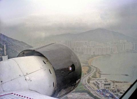
Just after take-off
2014
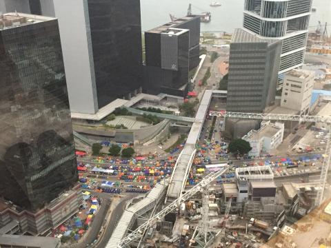
Harcourt Road
2014
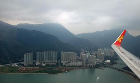
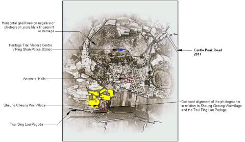
Ping Shan 9th December 2014 JPEG.jpg
Pagination
First page
« First
Previous page
‹‹
…
Page
17
Page
18
Page
19
Page
20
Page
21
Next page
››
Last page
Last »