Skip to main content
Menu
Menu
Home
Free newsletter
Shop
Explore
Add new...
What's new
FAQs
About
Gwulo menu for header
Show — Gwulo menu for header
Hide — Gwulo menu for header
Home
What's new
Gwulo
Old Hong Kong
Photos tagged:
aerial photographs
Primary tabs
View
Books
Events
Organisations
Pages
People
Photos
Places (map)
Places (list)
Streets (map)
Timelines
Items per page
25
100
- All -
Year
Title
1963
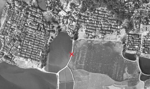
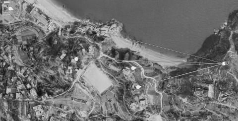
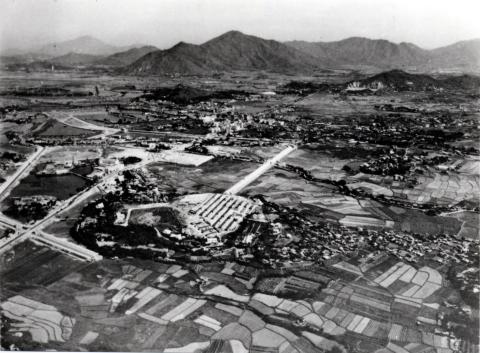
Tung Tau Tsuen, Yuen Long - 1963 aerial image
1963
stonecutters is east 1963
1963
1963 aerial view of RAF Ping Shan
1963
1963.2 European Houses #9 & #10 cheung chau, HKMaps
1963
1963.2 HKMaps crop Kwun Yam Wan
c.1963
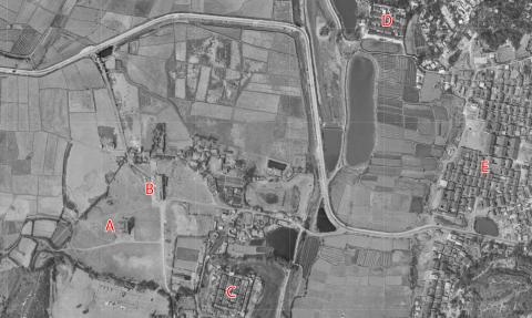
discovery bay ta hing farm 1963
c.1963
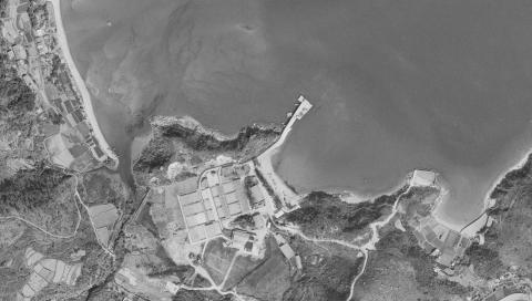
Aerial Photograph Mui Wo 1963
c.1963
Rumsey Street Temporary Vehicular Ferry Pier
1964
Cherry Hill Lodge-Homantin Hill Road
1964
Shatin Roadhouse-location aerial view 1964
1964
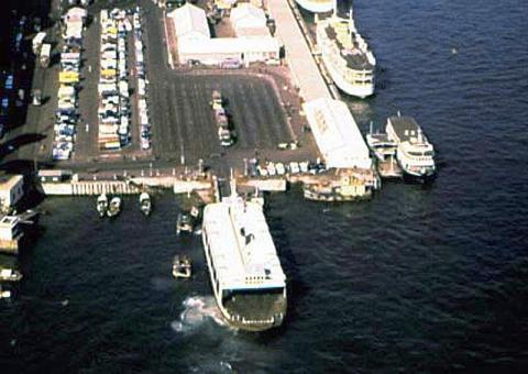
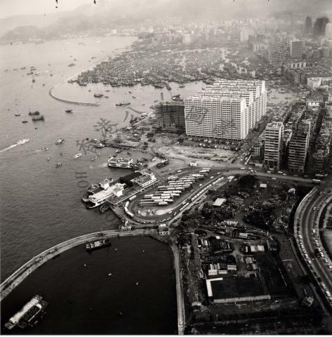
Hung Hom Ferry Piers aerial view 1964
1964
Central 1964
1964
Possible Rose Garden Hotel
1964
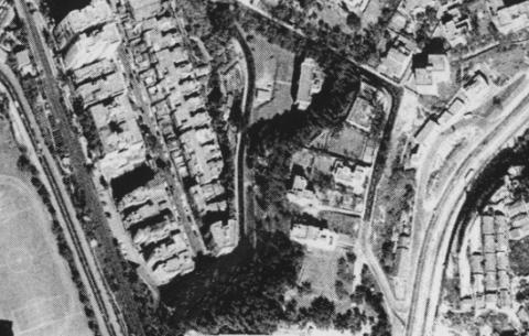
1964 Kowloon Tong
1964
Old_Hong_Kong - Town Gas north & south gas plant in 1964 [煤氣馬頭角南廠及北廠]
1964
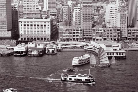
Jordan Road Piers
c.1964
Ocean Terminal under construction circa 1964-65
1965
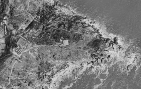
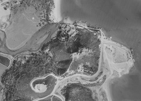
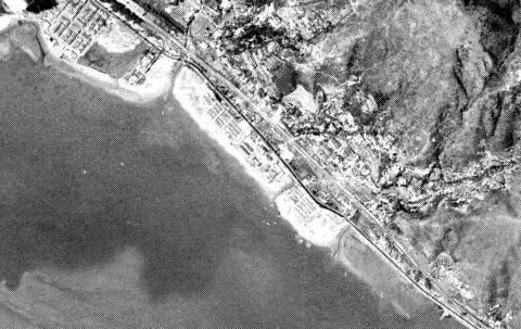
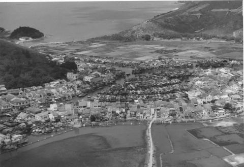
Tai O-Lantau Island-1
1965
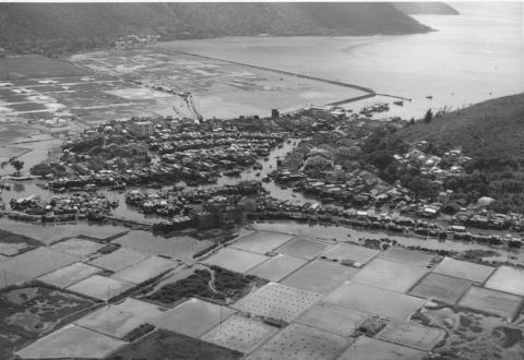
Tai O-Lantau Island-2
1965
Jordan Road Ferry and Typhoon Shelter 1965
1965
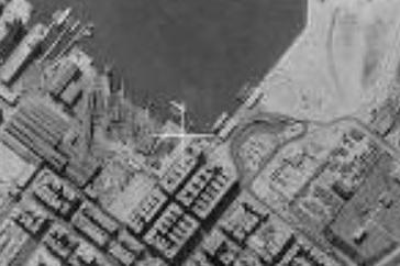
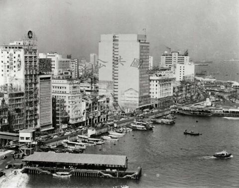
1965 Central waterfront
1965
Hong Kong Central and Sheung Wan = 香港中、中環[圖中可見恒生根行大廈、消防局和港外線碼頭] 1960s
1965
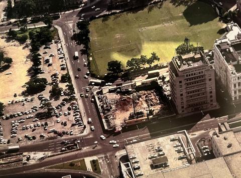
cricket club
c.1965
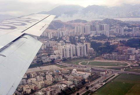
c.1965 Approaching Kaitak
1966
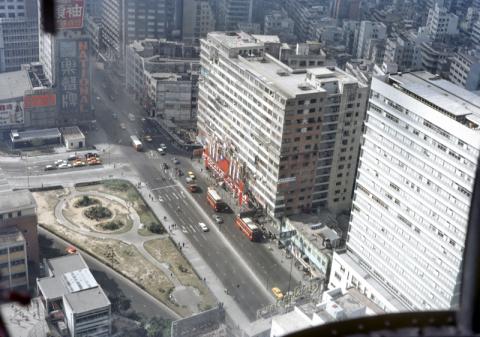
Alhambra and Kln CPO.jpg
Pagination
First page
« First
Previous page
‹‹
…
Page
9
Page
10
Page
11
Page
12
Page
13
…
Next page
››
Last page
Last »