Skip to main content
Menu
Menu
Home
Free newsletter
Shop
Explore
Add new...
What's new
FAQs
About
Gwulo menu for header
Show — Gwulo menu for header
Hide — Gwulo menu for header
Home
What's new
Gwulo
Old Hong Kong
Recent photos
These are the photos most recently added to the Gwulo website.
Items per page
25
100
- All -
Title
Year
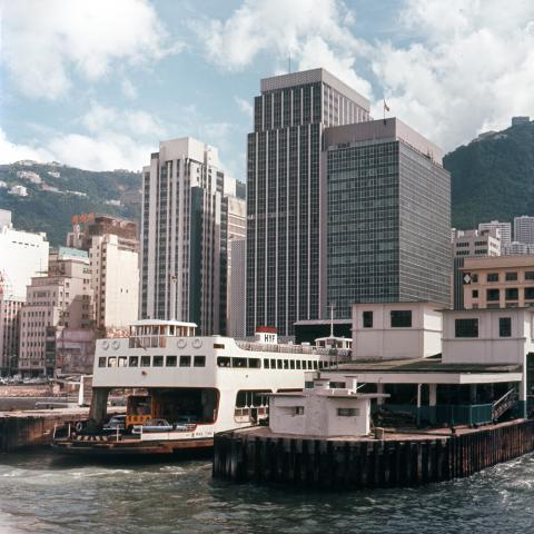
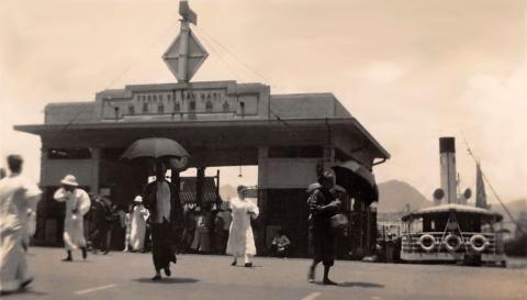
Vehicular Ferry Pier may 1967
1967
Glenealy 1992
1992
1962 Junction of Castle Peak and Tai Po Roads
1962
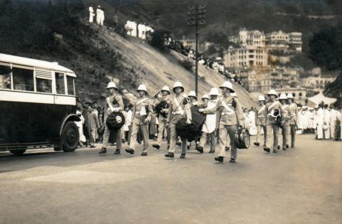
1930 Gap Road Funeral Procession
1930s
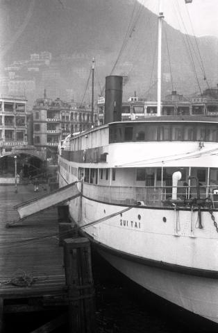
1937 Ferry to Macao - "Sui Tai"
1937
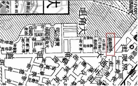
Hong Kong Ship Yard - Map Location
????
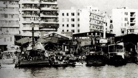
Hong Kong Ship Yard (1965)
????
1930s Ferry to YMT, Sheung Wan
1932
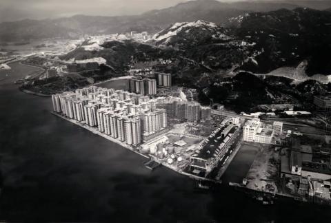
Mei Foo airview 1973
1973
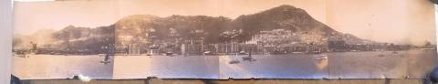
Panorama of HK Island
1920s
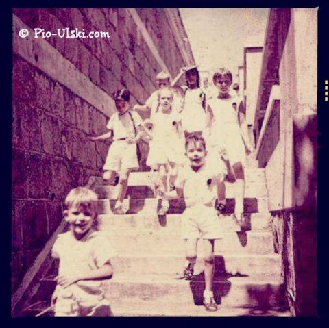
1954 running down the steps of Quarry Bay School
1954
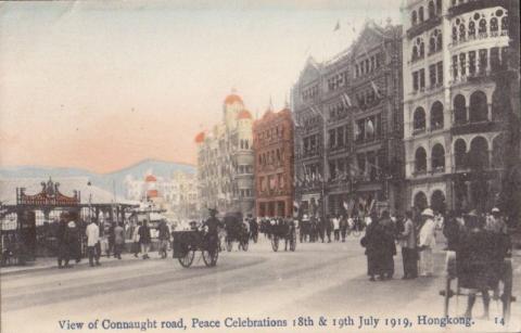
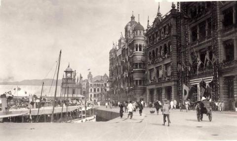
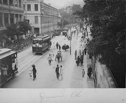
1919 Peace Celebrations - Praya Central
1919
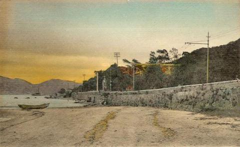
1920s North Point Beach
1920s
Connaught rd. From right - Kings Building, St.Georges building, Queens building.jpg
1910s
IMG_0761.PNG
1967
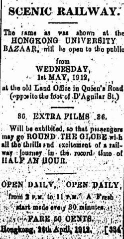
1912 Scenic Railway Advertisement
1912
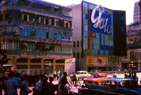
1964 Gala cinema at Argyle Street
1964
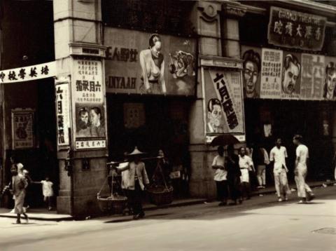
1937 Grand Theater
1937
HK-Trams-Queens-Rd
1910s
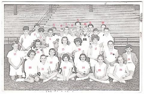
QBSSports_names.jpg
????
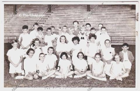
QBSSports.jpg
????
QBSSports.jpg
????
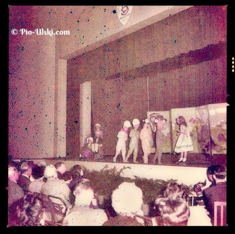
QBSAliceInWonderland2.1.jpg
????
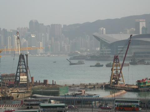
2004 - construction of new Star Ferry Pier
2004
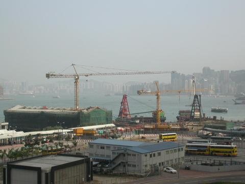
2004 - construction of Central reclamation
2004
Pagination
First page
« First
Previous page
‹‹
…
Page
913
Page
914
Page
915
Page
916
Page
917
…
Next page
››
Last page
Last »