Skip to main content
Menu
Menu
Home
Free newsletter
Shop
Explore
Add new...
What's new
FAQs
About
Gwulo menu for header
Show — Gwulo menu for header
Hide — Gwulo menu for header
Home
What's new
Gwulo
Old Hong Kong
Cart Flyout
Photos by author: hkms2.0
Items per page
25
100
- All -
Year
Title
Sort descending
1973
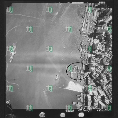
Ice Works Causeway Bay - Conveyor Belt
c.1928
Junction of Nathan and Gascoigne Roads map [1927-1930?]
1967
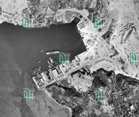
Junk Bay Aerial Photograph 1967
1964
Lai Chi Kok map 1964
c.1928
Map of the junction of Nathan and Jordan Roads [1927-1930?]
1956
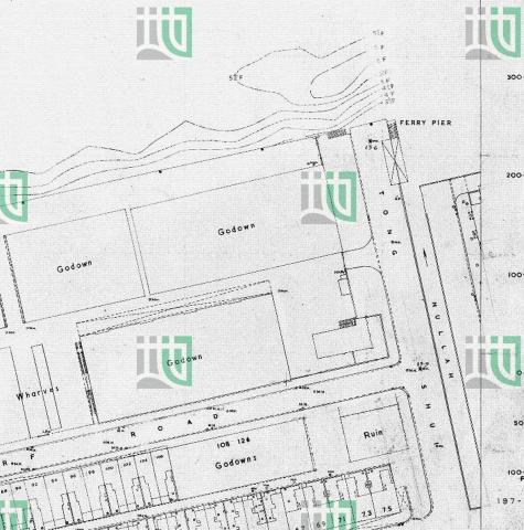
Map West Point Pier (Tong Shui Road) 1956
1949
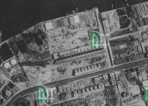
North Point aerial photograph 1949
1949
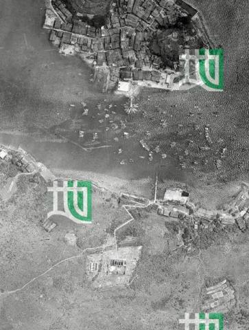
Sai Kung aerial photograph with old police station 1949
1973
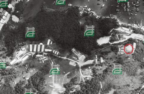
Sai Kung Camp 1973
1922
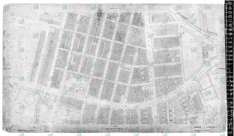
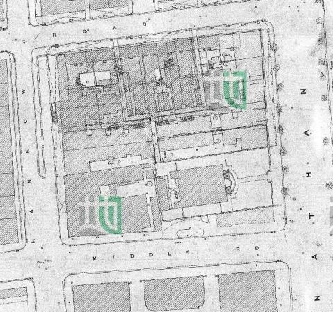
TST map 1922_detail
1922
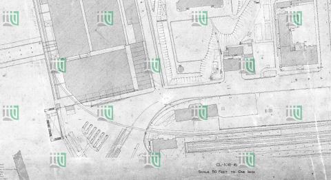
TST map 1922_KCR
1960
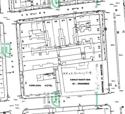
TST map 1960_febr_detail
1973
Wing Lok Pier 1973-11-01
1963
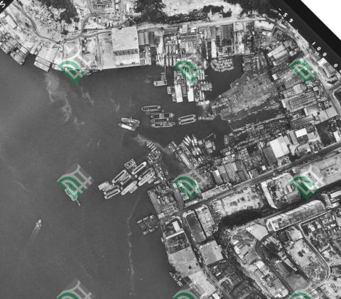
Yau Tong Bay Aerial View 1963
1985
Yau Tong Bay Aerial View 1985
1992
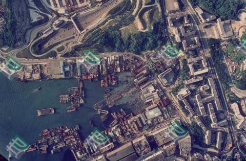
Yau Tong Bay Aerial View 1992
1960
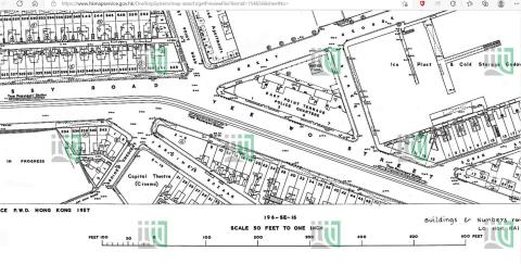
Yee Wo Street map 1960
Pagination
First page
« First
Previous page
‹‹
Page
1
Current page
2