Current condition
Demolished / No longer exists
Date closed / demolished
(Day, Month, & Year are approximate.)
The huts and cultivated land on the hillside above Tai Hang are shown in photos like this:
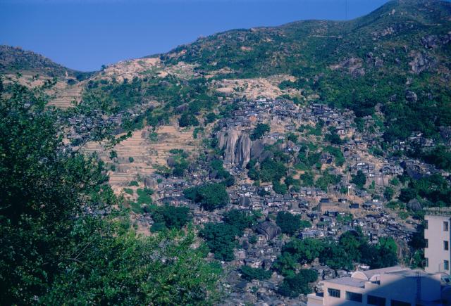
The lower areas were cleared by the early 1970s so that Lai Tak Tsuen could be built on the site. 'Map: 1972.3 Aerial Map' at https://www.hkmaps.hk/viewer.htmlshows the construction of Lai Tak Tsuen was underway.
There are some distinctive rocks on the hillside that can be used to identify this village in other photos - see the thread at https://gwulo.com/media/55908 for details.
Later place(s) at this location
Photos that show this Place
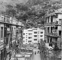
1950s
1968
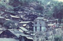
????