If you're making use of the cool weather to get out exploring, here are four interesting sites to visit. I saw them just before Christmas, on an outing with regular Gwulo contributor Thomas, and local historian Mr Chan.
The first site we visited was the ...
'Position finding cell' on Lung Fu Shan
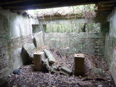
Lung Fu Shan is a small hill above Hong Kong University, and below the Pinewood Battery. On its northern slope, with an excellent view over the harbour, are four military buildings, connected by a stone staircase. Here's a look inside one of those buildings:
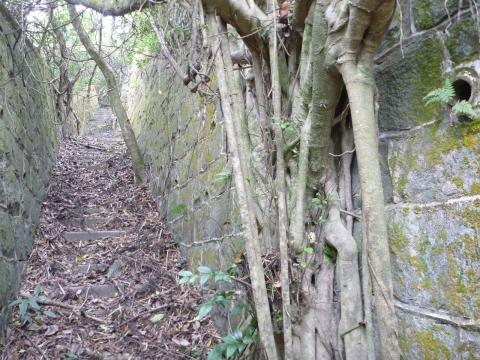
And a view up the staircase:
The soldiers stationed here were part of the coastal artillery's fire control, responsible for identifying targets and directing the nearby batteries' fire. (There were five batteries near here around the time this site was in use: Pinewood, Victoria, Belcher's, Elliot, and Fly Point.)
Click here for more photos and information about the 'Position finding cell' on Lung Fu Shan.
After a stop for a cup of tea, we walked across Pok Fu lam Road and up Mount Davis, where we found an ...
Abandoned cemetery on slopes of Mount Davis
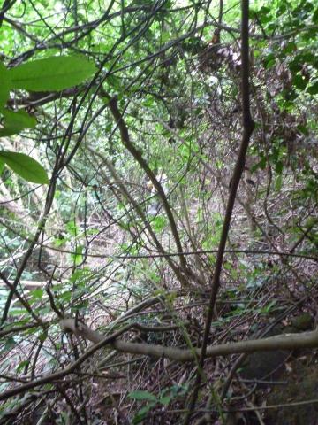
Our guide for the day, Mr Chan, is a remarkable man. He's over 70 years old, but you wouldn't guess it from the way he attacks the hillside. He's a firm believer in "the shortest path between two points is a straight line", even when that line takes you straight into this:
At this point, Mr Chan reached into his backpack, and pulled out a pair of secateurs and a collapsible saw! He told us to stay put, then set off to make / find a path for us. (If you look carefully in the middle of the photo, you can just make out his yellow shirt in the distance.)
The good thing about that style of hiking is you never know what you'll find in the undergrowth. In this case it was an abandoned cemetery, that had closed in 1906.
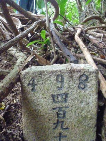
Here's one of the many simple grave stones we saw as we climbed up the hill:
Click here for more photos and information about the abandoned cemetery on slopes of Mount Davis.
After hacking through the undergrowth we eventually reached what we were actually aiming for, a ...
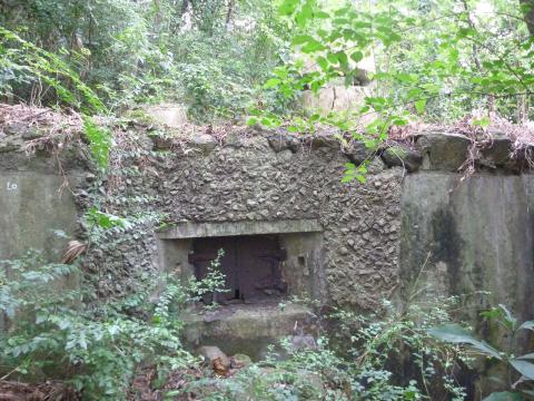
Pillbox facing Pok Fu Lam Road
It overlooks the gap where Pokfulam Road passes between Mount Davis and the slopes below High West.
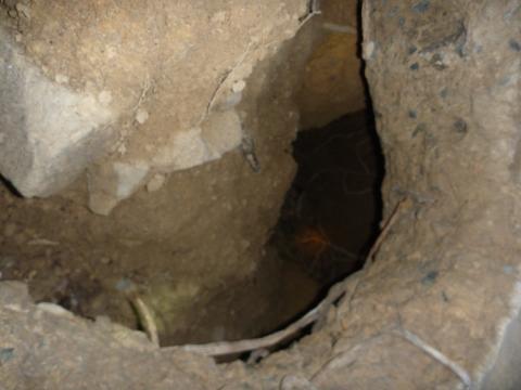
It wasn't involved in any of the fighting in 1941, but we believe it was modified by the Japanese during their occupation of Hong Kong. They cut a hole through the reinforced concrete floor and dug a tunnel to provide an alternative entrance / exit:
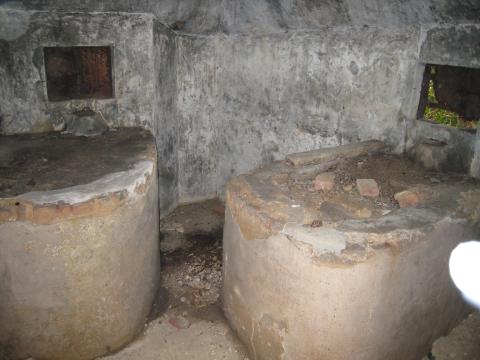
And also built platforms for their guns:
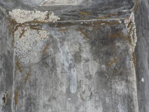
For any lizard fans reading, it's also home to a large family of geckos and their eggs:
Click here for more photos and information about the pillbox facing Pok Fu Lam Road.
From the pillbox we walked up an old military path to the top of Mount Davis, then followed the road back down to Victoria Road. On the way we saw the...
Kuo Min Tang soldiers' village on slopes of Mount Davis
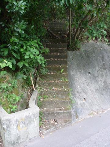
I didn't know that's what we were looking at, as all I saw were several sets of steps like these, leading up from the road:
Mr Chan explained this area was used to house Kuo Min Tang soldiers who escaped to Hong Kong after the end of the civil war in China. The steps led up to the temporary buildings where they lived. The soldiers only lived here for a short time before they were relocated to Rennie's Mill.
It was an interesting day's outing - all the sites are near where I live and close to paths I've often walked along, and yet this was the first time I've seen them. It just shows there's plenty more old stuff out there waiting to be discovered.
A couple of extra notes:
- If you'd like to visit Mount Davis, but don't fancy fighting your way through the undergrowth, here's an earlier guided walk around Mount Davis that sticks to paved roads.
- Mr Chan can be contacted via the Lung Fu Shan Country Park Morning Walkers' Association.
And of course if you're out exploring and find anything interesting, please let us know!
Regards, David
Comments
Re: approaching the Pillbox
Hi there,
If you do not want to go through the overgrown mess and if you do not mind working a bit longer, you might like to go up and Mount Davis Path on the western side, take the branch towards the southern side, then go down the concrete path (the way we went up). It would take more or less the same time to do it, but you don't have to untangle yourself from the vines or thick bushes every few steps.
Best Regards,
T