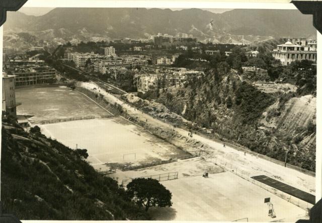
1956-4 near and south of the Waterloo rd-Wylie rd junction (news reports at that time called that part of Wylie rd kings park rd 京士柏道).
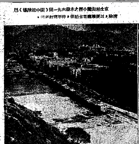
Note that there were an empty field, a soccer field and a basketball court on the left side of Wylie rd and a railroad track on the right side. On left edge of photo one can see what seems a church building which probably belonged to Wah Yan college. News report about removal of squatter huts near those soccer fields. Before removal:
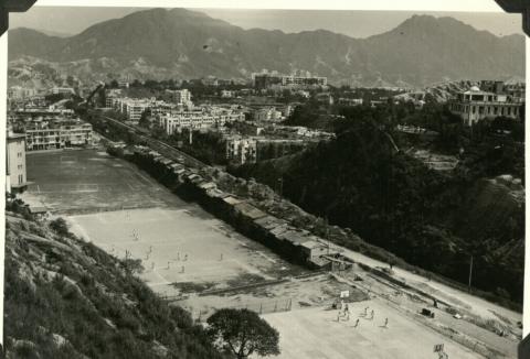
A better photo:
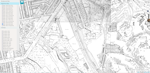
Aerial map of Kings Park in 1963:
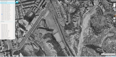
1960 kings park map
Date picture taken
1956