Hi Andrew, this is the view from near Sha Tau Kok looking east across Starling Inlet. So rather than the border, the fence most likely marks the start of the Frontier Closed Area. Phil.
Edit: I think it was taken from the hill that houses the Sha Tau Kok Police station because the FCA fence started immediately east of that spot. You can see the precursor to the current pier centre right.
Comments
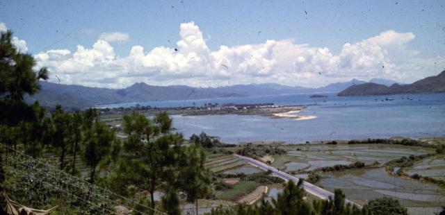
Starling Inlet
Hi Andrew, this is the view from near Sha Tau Kok looking east across Starling Inlet. So rather than the border, the fence most likely marks the start of the Frontier Closed Area. Phil.
Edit: I think it was taken from the hill that houses the Sha Tau Kok Police station because the FCA fence started immediately east of that spot. You can see the precursor to the current pier centre right.
Starling Inlet it is - I've
Starling Inlet it is - I've deleted "Kai Pak Ling" from the Places Shown.