I heard about this some time back, and finally had a chance to take a look last Friday.
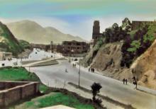
If you start off on on the north side of Argyle Street, by the old CLP Headquarters, walk with the hill on your left and you'll follow the curve of the path around into Waterloo Road.
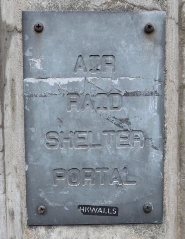
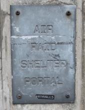
There's a big concrete retaining wall on your left, and if you keep a look out you'll spot this metal sign fixed to it:
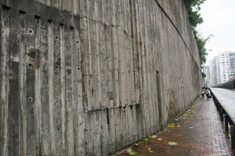
Here's a wider view of the wall, with the sign at roughly 7pm from the centre:
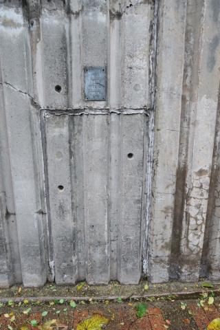
Further along there's a second sign, and below it there's a door-shaped outline in the concrete:
They aren't mentioned on the maps of Air Raid Shelters that were built by the Government around 1940-1, and don't look to be that sort of shape.
I guess they were dug during the Japanese occupation. We know the Japanese dug extensive tunnels in the hillside near to the DBS school (see http://gwulo.com/japanese-tunnels-diocesan-boys-school-hong-kong). That isn't far from this spot.
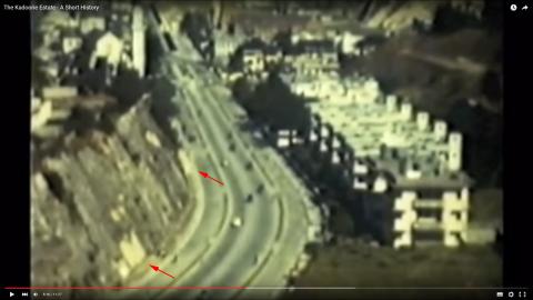
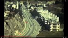
I found a photo from the area as a screen-capture from a video. I guess the film was taken in the 1950s.
There are a couple of light-coloured patches on the hillside (I've marked them with arrows), that could well be the blocked-up entrances to these tunnels.
Can anyone tell us more about them? If you lived around here in the 1960s or earlier, perhaps you heard stories about them?
Regards, David
Comments
Hi David, the air raid
Hi David, the air raid shelters were built by The Hongkong Engineering & Construction Company for the residents of Kadoorie Hill in 1940.
Thanks Amelia. Have you come
Thanks Amelia. Have you come across any records of their use, or memories of them during your interviews? Just curious what they were like inside, and if they were ever used.