Current condition
In use
Date completed
Date closed / demolished
(Day & Month are approximate.)
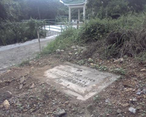
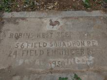
Here's the photo of it posted by laicwk24:
The marker position in the map is approximate, but should be about right based on the Google Streetview of that area:
If you look at the 1950s map, the track to the top of Robin's Nest is clear to see.
Any idea if the tablet is still there? The streetview suggests it may have been concreted over.
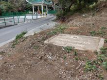
[2018 Feb Update: The plaque is still there. Laicwk24 has added some photos taken in February 2018.
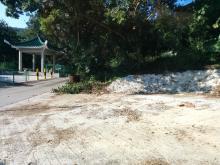
2018 Oct Update: The plaque has been removed, some time between February and October.
2020 May Update: The plaque is back! It has been returned at some point, and now stands up so that it is more visible.]


Comments
The stone tablet is recovered
As seen on the image taken on 1st May, 2020 as I walk pass by on my trek to Princess Hill
.
re: The stone tablet is recovered
Thanks for the update - good to see it's disappearance was only temporary .