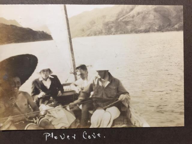
This was probably taken on the excursion to the Plover Cove waterfall shown in the previous two photos. I'm afraid I don't know the names of any of the occupants of the boat. I don't think the landscape behind is quite the same as in the photo labelled "Waterfall Cove".
Date picture taken
1929
Gallery

Comments
British Survey map of HK and China coast 1906
In my efforts to educate myself in the geography of the Hong Kong and China coast and especially the location of Tolo harbour and Mirs Bay, where the HM Submarine L3 seems, from WRF's photos, to have spent some time in 1929, I came across this wonderful map.
https://www.raremaps.com/gallery/detail/36483/hong-kong-to-mirs-bay-fro…
It shows Plover Cove and Tolo Harbour very clearly. Plover Cove was obviouisly popular for spare time boating trips. It would be good to know which cove on this map led to the Mirror Pool and Bride's Pool waterfalls shown in WRF's other "Plover Cove" photos.