Skip to main content
Menu
Menu
Home
Free newsletter
Shop
Explore
Add new...
What's new
FAQs
About
Gwulo menu for header
Show — Gwulo menu for header
Hide — Gwulo menu for header
Home
What's new
Gwulo
Old Hong Kong
Photos tagged:
map
Primary tabs
View
Books
Events
Organisations
Pages
People
Photos
Places (map)
Places (list)
Streets (map)
Timelines
Items per page
25
100
- All -
Year
Title
2015
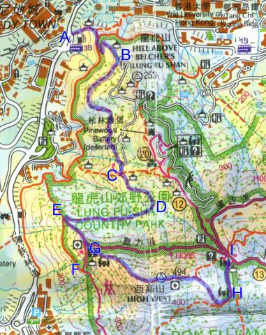
Map of High West
2015
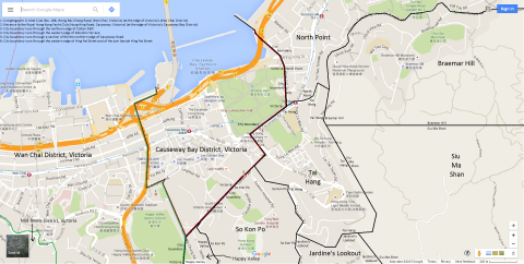
Map of Causeway Bay District, Victoria, Hong Kong
2015
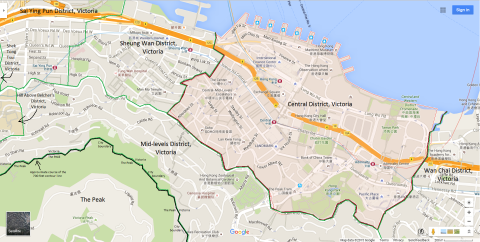
Map of Central District, Victoria, Hong Kong
2015
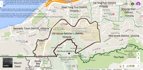
Map of Hill Above Belcher's District, Victoria, Hong Kong
2015
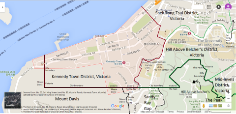
Map of Kennedy Town District, Victoria, Hong Kong
2015
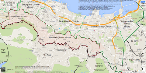
Map of Mid-levels District, Victoria, Hong Kong
2015
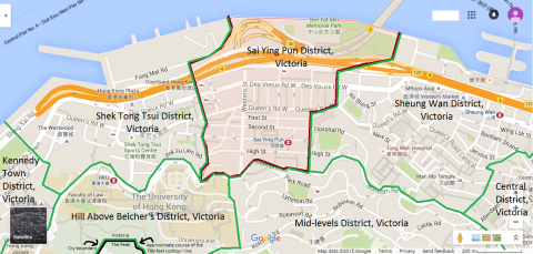
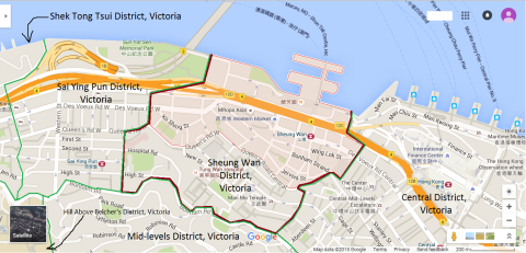
Map of Sai Ying Pun District, Victoria, Hong Kong
2015
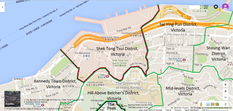
Map of Shek Tong Tsui District, Victoria, Hong Kong
2015
Map of Sheung Wan District, Victoria, Hong Kong
2015
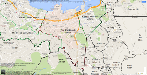
Map of Wan Chai District, Victoria, Hong Kong
2015
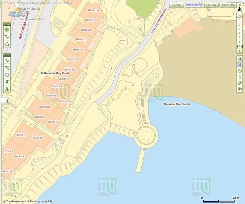
Repulse Bay Map
2016
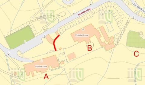
2016 Map Barker Road.jpg
2016
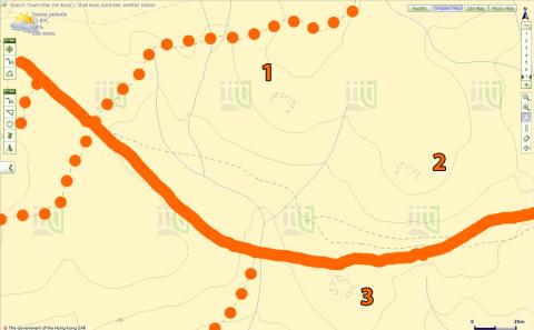
Map of Anti-Aircraft sites at Tai Mo Shan
2016
IL 619 RP
2016
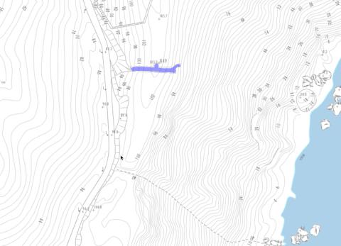
Tunnel above Siu Sai Wan
2016
Map of Sai Wan Hill Battery & Redoubt
2016
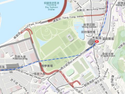
2016 Causeway Bay map
2017
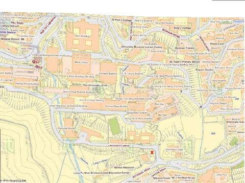
Modern map of HKU area
2017
IL 1874
2017
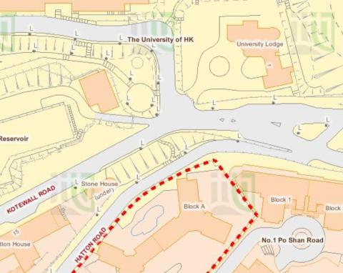
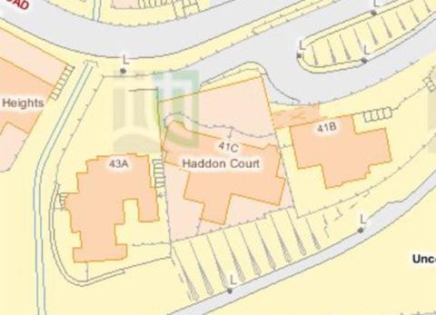
Map of buildings around Haddon Court
2017
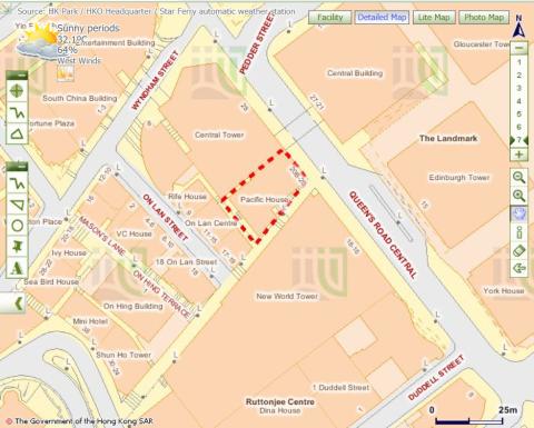
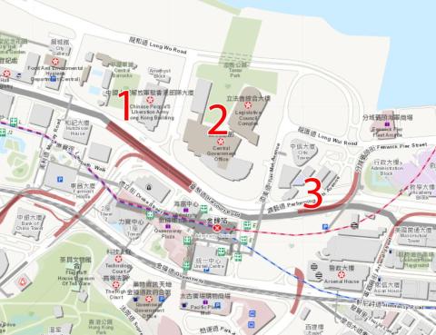
2017 Map of Admiralty
2019
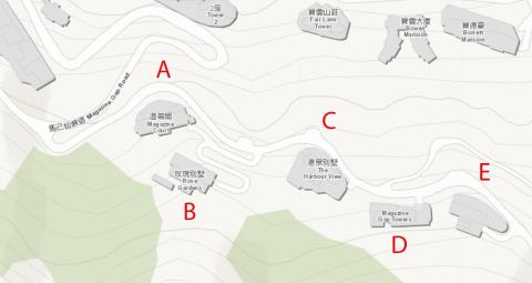
Annotated map of Magazine Gap Rd
2010s
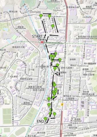
Map of Kowloon Tong walking route
2020
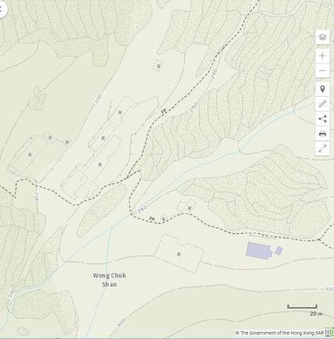
Wong Chuk Shan map
2020
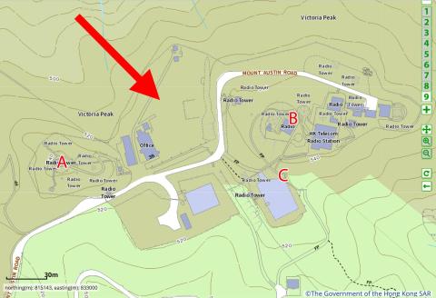
Map of The Peak
Pagination
First page
« First
Previous page
‹‹
…
Page
19
Page
20
Page
21
Page
22
Page
23
…
Next page
››
Last page
Last »