Skip to main content
Menu
Menu
Home
Free newsletter
Shop
Explore
Add new...
What's new
FAQs
About
Gwulo menu for header
Show — Gwulo menu for header
Hide — Gwulo menu for header
Home
What's new
Gwulo
Old Hong Kong
Cart Flyout
Photos tagged:
map
Primary tabs
View
Books
Events
Organisations
Pages
People
Photos
(active tab)
Places (map)
Places (list)
Streets (map)
Timelines
Items per page
25
100
- All -
Year
Title
Sort ascending
1882
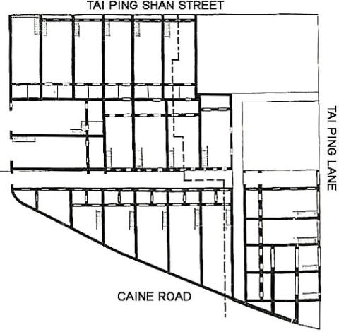
Tai Ping Shan
1866
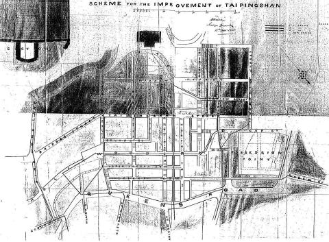
Tai Ping Shan
1872
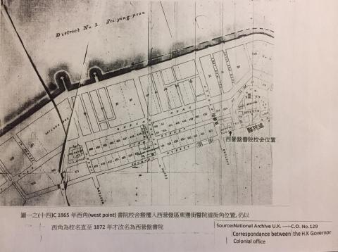
syp 1872
1889
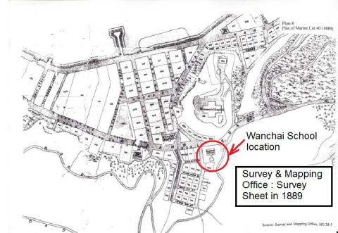
Survey sheet of Wanchai in 1889
1960s
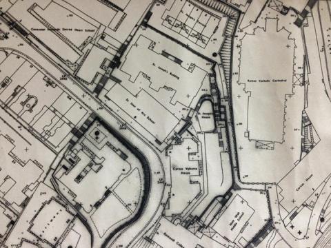
StJoseph'sComplexMap.jpg
1942
stanleymap_1942
1853
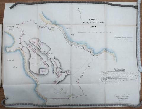
Stanley Military Cantonment 1853
1844
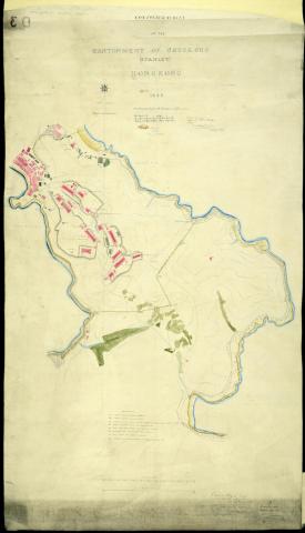
Stanley cantonment reduced.jpg
1941
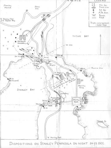
Stanley 1941
1945
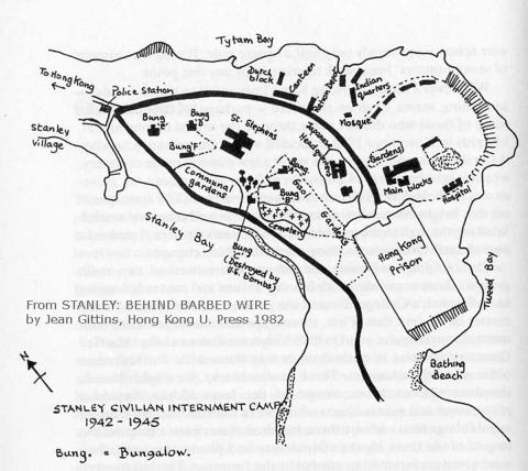
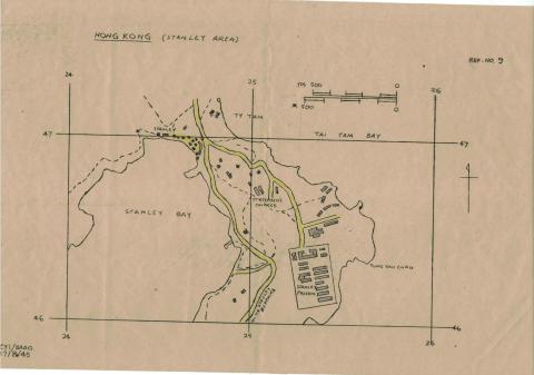
Stanley
1940s
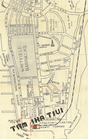
Sketched Map of Tsim Sha Tsui, 1930s or 1940s
1912
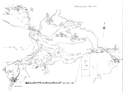
Sketch Plan of the Peak 1912
1955
Shek Tong Tsui Godowns (1950s) and map (1905)
1923
Shek Kip Mei
1923
Sham Shui Po / Prince Edward
1960
Sea Terminal-location Navy Street
????
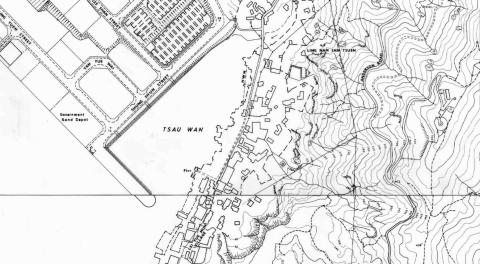
Sam Ka Tsuen
1945
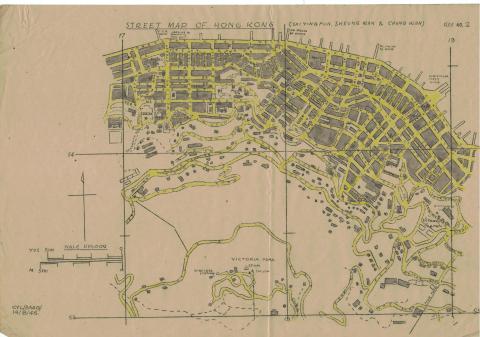
Sai Ying Pun, Sheung Wan, Chung Wan
2011
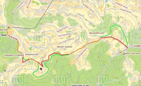
Route from Upper Peak Tram Terminus to Wanchai Gap
1901
Robinson Road
1901
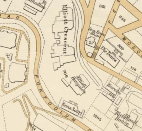
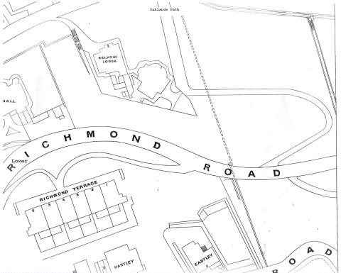
Richmond Terrace
1889
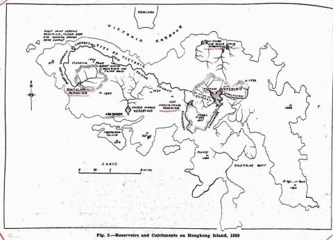
Reservoirs and Conduits 1889
2015
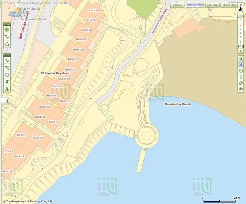
Repulse Bay Map
????
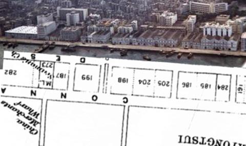
Reclamation in TST
1938
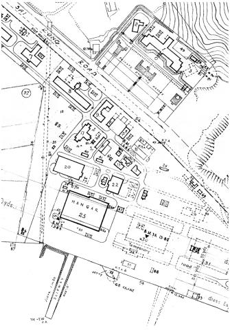
RAF Hangar location in 1938
Pagination
First page
« First
Previous page
‹‹
Page
1
Page
2
Current page
3
Page
4
Page
5
…
Next page
››
Last page
Last »