Skip to main content
Menu
Menu
Home
Free newsletter
Shop
Explore
Add new...
What's new
FAQs
About
Gwulo menu for header
Show — Gwulo menu for header
Hide — Gwulo menu for header
Home
What's new
Gwulo
Old Hong Kong
Photos tagged:
map
Primary tabs
View
Books
Events
Organisations
Pages
People
Photos
Places (map)
Places (list)
Streets (map)
Timelines
Items per page
25
100
- All -
Year
Title
1970
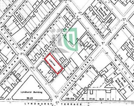
1a broadwood road 1 1
1974
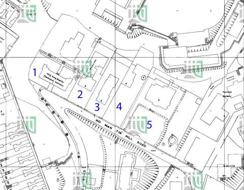
1974 1:600 Ho Man Tin Hill Road 179-SE-2-(Ed-1974-01)
1975
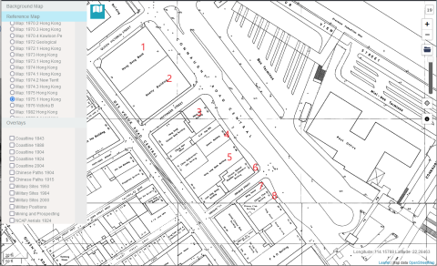
1975-09 map of the Gutzlaff Street Area
1975
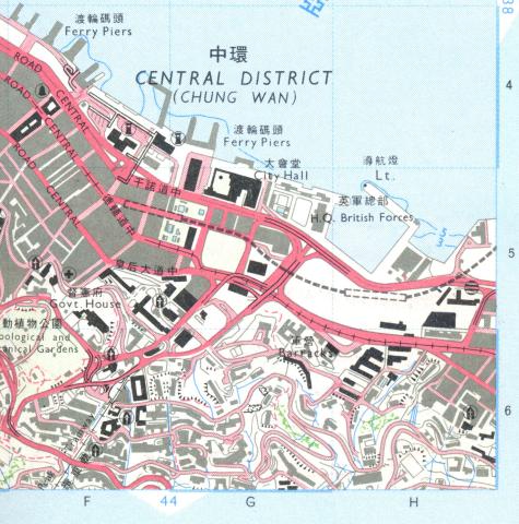
1975-central-map
1979
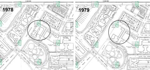
Hung Hom Police Station 1978_79
1980
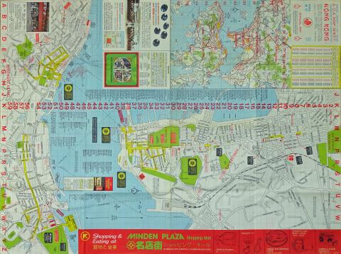
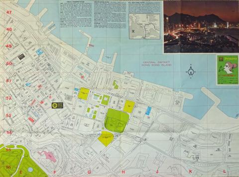
Hong Kong Map (1980)(2).jpg
1980
Hong Kong Map (1980)(3).jpg
1981
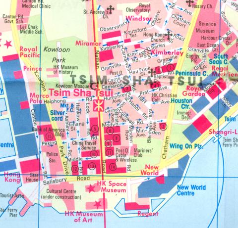
Tsim Sha Tsui.jpg
1981
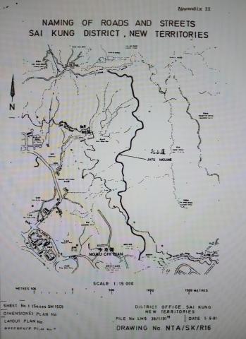
Map of JAT INCLINE
1983
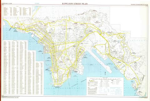
Kowloon street map
1987
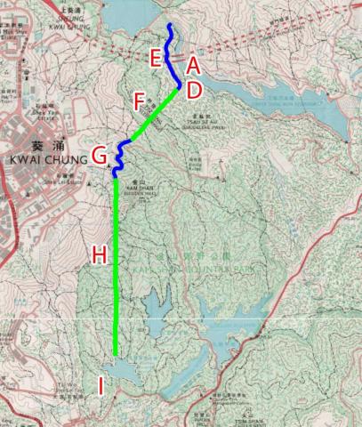
1987 map of the Shing Mun / Golden Hill area
1980s
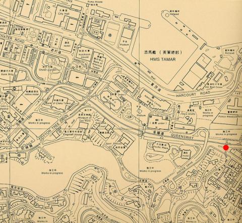
1980 Map of Admiralty
1980s
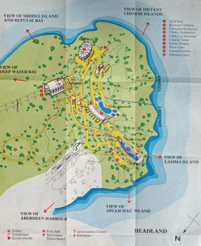
Ocean Park Map Headland (1980).jpg
1980s
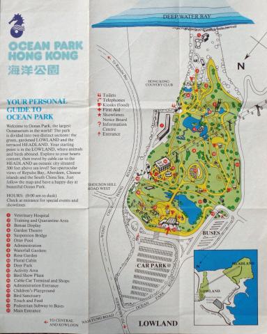
Ocean Park Map Lowland (1980).jpg
1980s
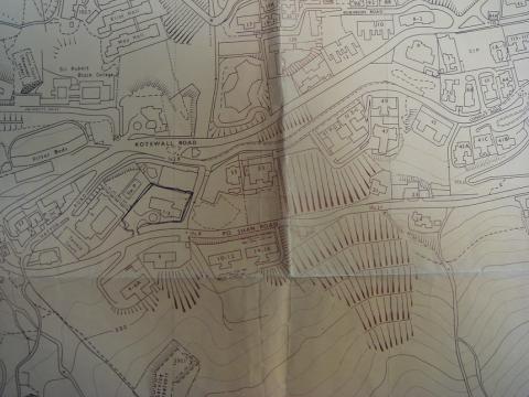
Po Shan Road 1980.JPG
1980s
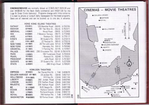
Cinemas/Movie Theatres_1980
1980s
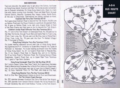
Transport Map 1980
1980s
Bus map 1980
1980s
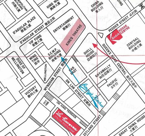
Jimmy's Kitchen on the 1980 map
1980s
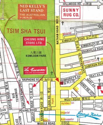
Jimmy's Kitchen Kowloon on the 1980 map
1980s
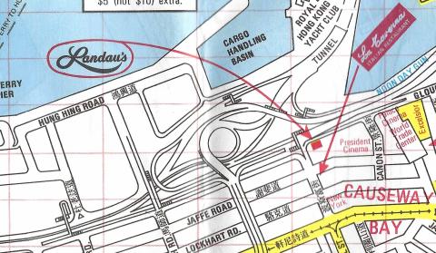
Landau's Restaurant on the 1980 map
1980s
Hung Hom Piers (1980)
1980s
Green Jade - Tsing Bik Villa (青碧別墅) [????-1986]
1990
Admiralty, 1990
1997
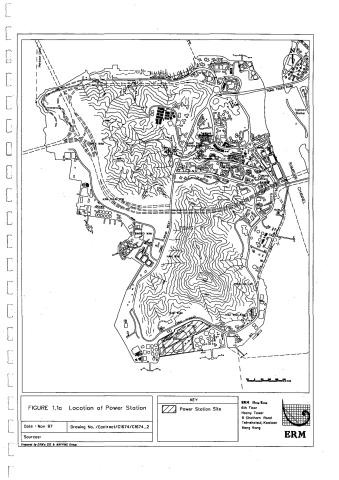
tsing yi power station map
Pagination
First page
« First
Previous page
‹‹
…
Page
17
Page
18
Page
19
Page
20
Page
21
…
Next page
››
Last page
Last »
![Green Jade - Tsing Bik Villa (青碧別墅) [????-1986]](/sites/default/files/styles/large/public/thumbnails/image/signal-2022-02-07-111048.jpeg?itok=8WOtWyZ6)